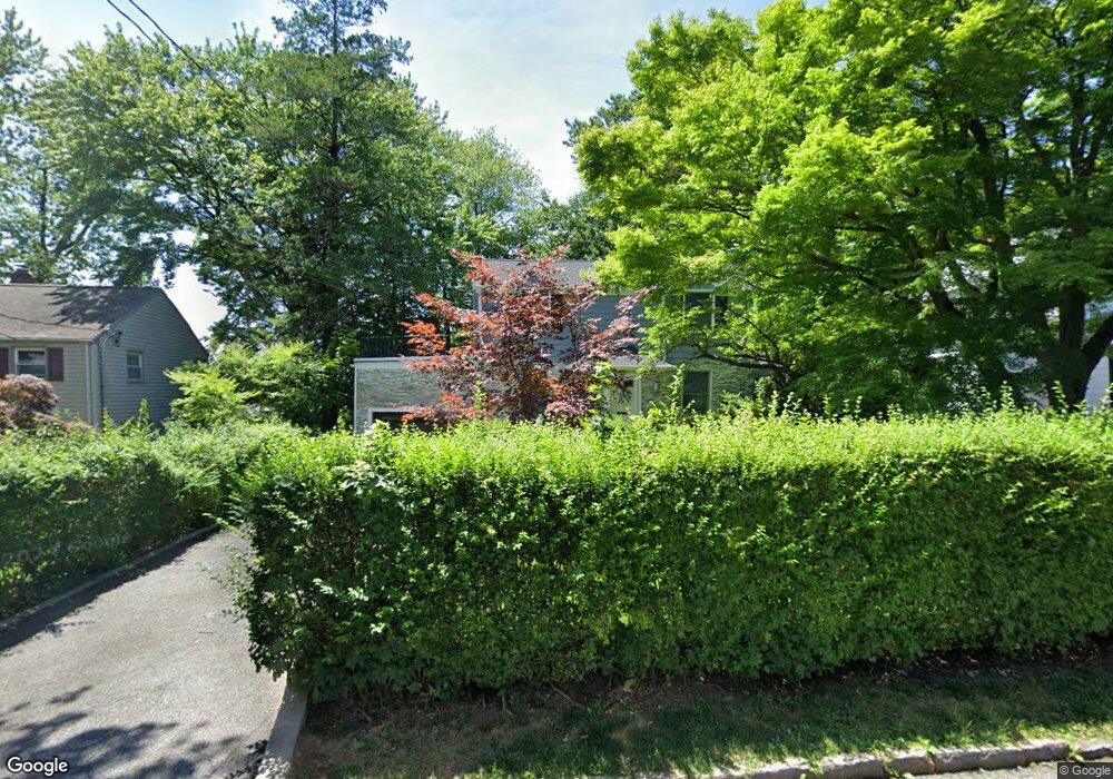
24 Whitman Rd Yonkers, NY 10710
Northeast Yonkers NeighborhoodEstimated Value: $685,000 - $781,000
3
Beds
2
Baths
1,200
Sq Ft
$623/Sq Ft
Est. Value
About This Home
This home is located at 24 Whitman Rd, Yonkers, NY 10710 and is currently estimated at $747,595, approximately $622 per square foot. 24 Whitman Rd is a home located in Westchester County with nearby schools including Annunciation School.
Ownership History
Date
Name
Owned For
Owner Type
Purchase Details
Closed on
Aug 31, 2006
Sold by
The Robert Brand Living Trust
Bought by
Villareal Joel and Villareal Ailyn
Current Estimated Value
Home Financials for this Owner
Home Financials are based on the most recent Mortgage that was taken out on this home.
Original Mortgage
$468,000
Outstanding Balance
$272,537
Interest Rate
6.12%
Mortgage Type
Purchase Money Mortgage
Estimated Equity
$475,058
Purchase Details
Closed on
Jun 16, 1998
Sold by
Brand Robert and Brand Nelly
Bought by
Brand Robert and Brand Nelly
Create a Home Valuation Report for This Property
The Home Valuation Report is an in-depth analysis detailing your home's value as well as a comparison with similar homes in the area
Home Values in the Area
Average Home Value in this Area
Purchase History
| Date | Buyer | Sale Price | Title Company |
|---|---|---|---|
| Villareal Joel | $520,000 | First American Title Ins Co | |
| Brand Robert | -- | -- |
Source: Public Records
Mortgage History
| Date | Status | Borrower | Loan Amount |
|---|---|---|---|
| Open | Villareal Joel | $468,000 |
Source: Public Records
Tax History Compared to Growth
Tax History
| Year | Tax Paid | Tax Assessment Tax Assessment Total Assessment is a certain percentage of the fair market value that is determined by local assessors to be the total taxable value of land and additions on the property. | Land | Improvement |
|---|---|---|---|---|
| 2024 | $1,824 | $10,238 | $5,900 | $4,338 |
| 2023 | $1,815 | $10,238 | $5,900 | $4,338 |
| 2022 | $1,803 | $10,238 | $5,900 | $4,338 |
| 2021 | $7,912 | $10,238 | $5,900 | $4,338 |
| 2020 | $8,127 | $10,600 | $5,900 | $4,700 |
| 2019 | $9,727 | $10,600 | $5,900 | $4,700 |
| 2018 | $7,498 | $10,600 | $5,900 | $4,700 |
| 2017 | -- | $10,600 | $5,900 | $4,700 |
| 2016 | $8,500 | $10,600 | $5,900 | $4,700 |
| 2015 | -- | $10,600 | $5,900 | $4,700 |
| 2014 | -- | $13,600 | $5,900 | $7,700 |
| 2013 | -- | $13,600 | $5,900 | $7,700 |
Source: Public Records
Map
Nearby Homes
- 61 Newport Rd
- 1 Remsen Rd Unit 4J
- 1 Remsen Rd Unit 1F
- 1 Remsen Rd Unit 2F
- 15 Bristol Place
- 2 Dorchester Dr
- 57 Roundtop Rd
- 397 Concord Rd
- 612 E Grassy Sprain Rd Unit 3
- 612 E Grassy Sprain Rd Unit 15
- 48 Elissa Ln
- 2035 Central Park Ave Unit 1M
- 2035 Central Park Ave Unit 1S
- 2035 Central Park Ave Unit 1K
- 2035 Central Park Ave Unit 3M
- 66 Crisfield St Unit 3Y
- 66 Crisfield St Unit 1D
- 66 Crisfield St Unit 3D
- 156 Candlewood Dr
- 270 Pembrook Dr