24 Windswept Dr Rindge, NH 03461
Estimated Value: $595,000 - $904,000
3
Beds
3
Baths
3,346
Sq Ft
$236/Sq Ft
Est. Value
About This Home
This home is located at 24 Windswept Dr, Rindge, NH 03461 and is currently estimated at $790,956, approximately $236 per square foot. 24 Windswept Dr is a home with nearby schools including Rindge Memorial School, Conant Middle High School, and Conant High School.
Ownership History
Date
Name
Owned For
Owner Type
Purchase Details
Closed on
Mar 3, 2022
Sold by
Seppala Mackenzie J
Bought by
Seppala Mackenzie J and Seppala Kirsten J
Current Estimated Value
Purchase Details
Closed on
Dec 29, 2021
Sold by
Seppala Samuel R and Seppala Ruth E
Bought by
Seppala Mackenzie J
Home Financials for this Owner
Home Financials are based on the most recent Mortgage that was taken out on this home.
Original Mortgage
$315,200
Interest Rate
3.11%
Mortgage Type
Purchase Money Mortgage
Create a Home Valuation Report for This Property
The Home Valuation Report is an in-depth analysis detailing your home's value as well as a comparison with similar homes in the area
Home Values in the Area
Average Home Value in this Area
Purchase History
| Date | Buyer | Sale Price | Title Company |
|---|---|---|---|
| Seppala Mackenzie J | -- | None Available | |
| Seppala Mackenzie J | -- | None Available | |
| Seppala Mackenzie J | $394,000 | None Available | |
| Seppala Mackenzie J | $394,000 | None Available |
Source: Public Records
Mortgage History
| Date | Status | Borrower | Loan Amount |
|---|---|---|---|
| Previous Owner | Seppala Mackenzie J | $315,200 |
Source: Public Records
Tax History Compared to Growth
Tax History
| Year | Tax Paid | Tax Assessment Tax Assessment Total Assessment is a certain percentage of the fair market value that is determined by local assessors to be the total taxable value of land and additions on the property. | Land | Improvement |
|---|---|---|---|---|
| 2024 | $11,918 | $470,900 | $50,900 | $420,000 |
| 2023 | $11,791 | $470,900 | $50,900 | $420,000 |
| 2022 | $10,845 | $470,900 | $50,900 | $420,000 |
| 2021 | $11 | $488 | $488 | $0 |
| 2020 | $12 | $536 | $536 | $0 |
| 2019 | $12 | $442 | $442 | $0 |
| 2018 | $15 | $536 | $536 | $0 |
| 2017 | $15 | $536 | $536 | $0 |
| 2016 | $15 | $536 | $536 | $0 |
| 2015 | $15 | $536 | $536 | $0 |
| 2014 | $14 | $536 | $536 | $0 |
Source: Public Records
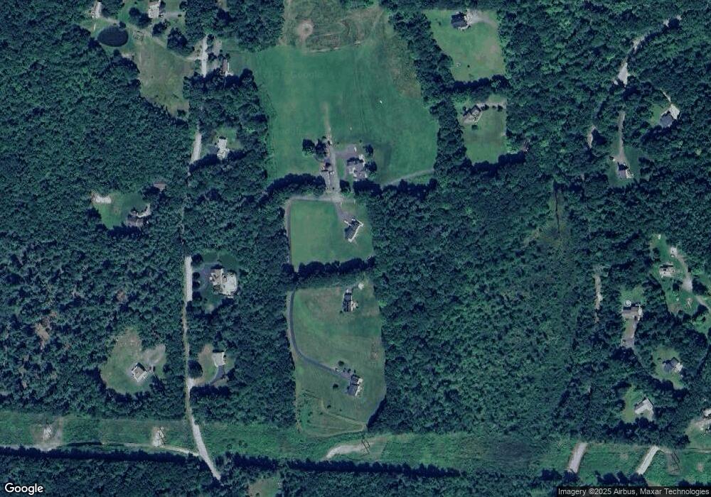
Map
Nearby Homes
- Lot 1 Saybrook Dr
- Lot 2 Saybrook Dr
- Lot 15-0 Saybrook Dr
- Lot 14 Saybrook Dr
- 307 Main St
- Lot 4 Saybrook Dr
- 28 Wellington Rd
- 39 Willow Ln
- 31 Willow Ln
- 37 Willow Ln
- 41 Willow Ln
- 40 Maple Dr
- 0 Thomas Rd Unit 10 5014817
- 11 Mark St
- 20 W Main St
- 19 Monomonac Terrace
- 7 Emerson Dr
- 46 Swan Point Rd
- 110 Red Gate Ln
- 16 2nd St
- 32 Windswept Dr
- 16 Windswept Dr
- 18 Windswept Dr
- 202 Lord Brook Rd
- 196 Lord Brook Rd
- 88 Lord Hill Rd
- 6-84 Lord Brook Rd
- 96 Lord Hill Rd
- 110 Lord Hill Rd
- 85 Lord Hill Rd
- 84 Lord Hill Rd
- 301 Middle Winchendon Rd
- 130 Lord Brook Rd
- 285 Middle Winchendon Rd
- 74 Lord Hill Rd
- 113 Lord Brook Rd
- 331 Middle Winchendon Rd
- 343 Middle Winchendon Rd
- 101 Lord Hill Rd
- 83 Lord Hill Rd