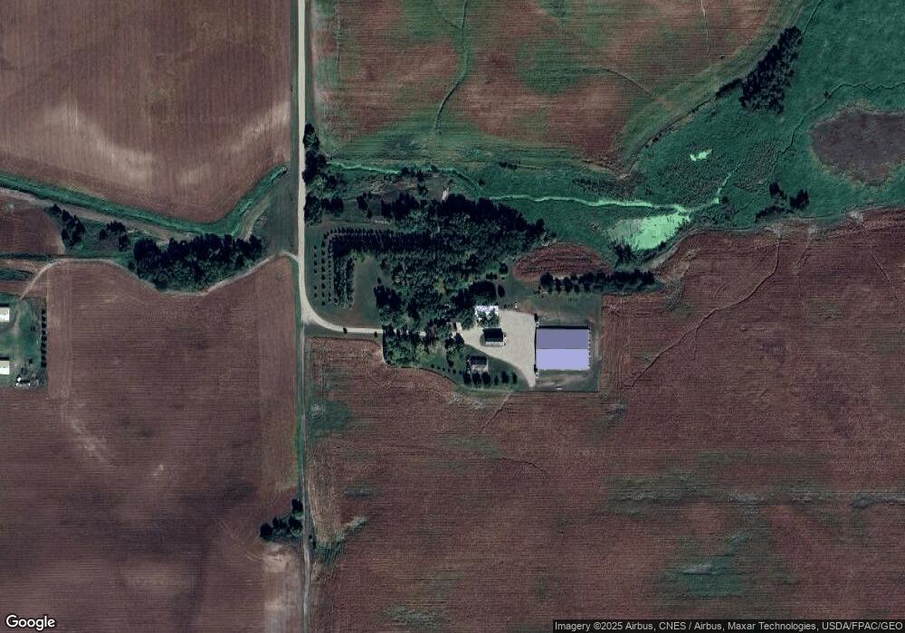
240 245th Ave Fairmont, MN 56031
Estimated Value: $369,000 - $740,053
4
Beds
2
Baths
1,812
Sq Ft
$306/Sq Ft
Est. Value
About This Home
This home is located at 240 245th Ave, Fairmont, MN 56031 and is currently estimated at $554,527, approximately $306 per square foot. 240 245th Ave is a home located in Martin County with nearby schools including Granada Huntley East Chain Elementary School and Granada-Huntley East Chain Secondary School.
Ownership History
Date
Name
Owned For
Owner Type
Purchase Details
Closed on
Oct 30, 2007
Sold by
Maday Louis and Maday Amy
Bought by
Grathwohl Randy and Grathwohl Rebecca
Current Estimated Value
Home Financials for this Owner
Home Financials are based on the most recent Mortgage that was taken out on this home.
Original Mortgage
$27,750
Outstanding Balance
$22,757
Interest Rate
6.44%
Mortgage Type
Credit Line Revolving
Estimated Equity
$531,770
Create a Home Valuation Report for This Property
The Home Valuation Report is an in-depth analysis detailing your home's value as well as a comparison with similar homes in the area
Home Values in the Area
Average Home Value in this Area
Purchase History
| Date | Buyer | Sale Price | Title Company |
|---|---|---|---|
| Grathwohl Randy | $185,000 | None Available |
Source: Public Records
Mortgage History
| Date | Status | Borrower | Loan Amount |
|---|---|---|---|
| Open | Grathwohl Randy | $27,750 |
Source: Public Records
Tax History Compared to Growth
Tax History
| Year | Tax Paid | Tax Assessment Tax Assessment Total Assessment is a certain percentage of the fair market value that is determined by local assessors to be the total taxable value of land and additions on the property. | Land | Improvement |
|---|---|---|---|---|
| 2025 | $2,290 | $857,200 | $94,100 | $763,100 |
| 2024 | $2,226 | $843,400 | $87,100 | $756,300 |
| 2023 | $2,284 | $804,600 | $87,100 | $717,500 |
| 2022 | $2,040 | $826,500 | $82,800 | $743,700 |
| 2021 | $2,042 | $653,000 | $68,600 | $584,400 |
| 2020 | $2,384 | $681,000 | $68,600 | $612,400 |
| 2019 | $2,700 | $659,900 | $56,600 | $603,300 |
| 2018 | $2,562 | $709,500 | $56,600 | $652,900 |
| 2017 | $2,064 | $324,500 | $52,647 | $271,853 |
| 2016 | $1,770 | $336,800 | $55,247 | $281,553 |
| 2015 | $1,547 | $353,600 | $66,338 | $287,262 |
| 2013 | $1,619 | $141,300 | $45,386 | $95,914 |
Source: Public Records
Map
Nearby Homes
- 1011 Iowa 15
- TBD 60th St
- 0 Xxx 60th St Unit LotWP001
- 4908 100th Ave
- 775 200th Ave
- 276 180th Ave
- Lot 5 200th Ave
- Lot 1 200th Ave
- Lot 2 200th Ave
- Lot 3 200th Ave
- Lot 4 200th Ave
- Lot 6 200th Ave
- 2109 95th St
- 2214 Red Bird Ln
- 2218 Red Bird Ln
- 2224 Red Bird Ln
- 2413 Albion Ave
- 1581 Meadowlark Ln
- 1600 S Prairie Ave
- 1910 Knollwood Dr