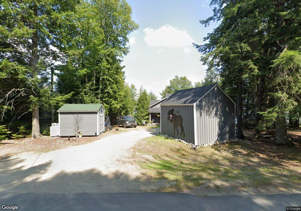
240 Davis Rd Alexander, ME 04694
Estimated Value: $226,000 - $338,000
--
Bed
--
Bath
--
Sq Ft
0.42
Acres
About This Home
This home is located at 240 Davis Rd, Alexander, ME 04694 and is currently estimated at $277,779. 240 Davis Rd is a home with nearby schools including Alexander Elementary School.
Ownership History
Date
Name
Owned For
Owner Type
Purchase Details
Closed on
Apr 1, 2022
Sold by
Hammond Michael E
Bought by
Hill Kimberly A
Current Estimated Value
Home Financials for this Owner
Home Financials are based on the most recent Mortgage that was taken out on this home.
Original Mortgage
$225,000
Outstanding Balance
$209,845
Interest Rate
3.92%
Mortgage Type
Purchase Money Mortgage
Estimated Equity
$67,934
Purchase Details
Closed on
Apr 25, 2019
Sold by
Maxwell Wendy
Bought by
Hammond Michael E
Home Financials for this Owner
Home Financials are based on the most recent Mortgage that was taken out on this home.
Original Mortgage
$165,000
Interest Rate
4.2%
Mortgage Type
New Conventional
Create a Home Valuation Report for This Property
The Home Valuation Report is an in-depth analysis detailing your home's value as well as a comparison with similar homes in the area
Home Values in the Area
Average Home Value in this Area
Purchase History
| Date | Buyer | Sale Price | Title Company |
|---|---|---|---|
| Hill Kimberly A | $250,000 | None Available | |
| Hammond Michael E | -- | -- |
Source: Public Records
Mortgage History
| Date | Status | Borrower | Loan Amount |
|---|---|---|---|
| Open | Hill Kimberly A | $225,000 | |
| Previous Owner | Hammond Michael E | $165,000 |
Source: Public Records
Tax History Compared to Growth
Tax History
| Year | Tax Paid | Tax Assessment Tax Assessment Total Assessment is a certain percentage of the fair market value that is determined by local assessors to be the total taxable value of land and additions on the property. | Land | Improvement |
|---|---|---|---|---|
| 2024 | $2,486 | $184,133 | $78,559 | $105,574 |
| 2023 | $2,484 | $146,100 | $64,200 | $81,900 |
| 2022 | $2,513 | $146,100 | $64,200 | $81,900 |
| 2021 | $2,586 | $146,100 | $64,200 | $81,900 |
| 2020 | $2,659 | $146,100 | $64,200 | $81,900 |
| 2019 | $2,717 | $146,100 | $64,200 | $81,900 |
| 2018 | $2,484 | $146,100 | $64,200 | $81,900 |
| 2017 | $2,425 | $146,100 | $64,200 | $81,900 |
| 2016 | $2,403 | $146,100 | $64,200 | $81,900 |
| 2015 | $2,376 | $148,985 | $41,385 | $107,600 |
| 2013 | $2,399 | $148,985 | $41,385 | $107,600 |
Source: Public Records
Map
Nearby Homes
- 41 Hickory Ln
- M70 L2 Airline Rd
- 4601 B Airline Rd
- M1978L91G Airline Rd
- 236 Berry Rd
- 77 S Princeton Rd
- 49 Christmas Cove Rd
- 69K Christmas Cove Rd
- 20 Chase Brook Dr
- 19 Chase Rd
- 43 Chase Rd
- M7 L19 Old Crawford Rd
- 9 Hunter
- 549 Airline Rd
- 0 Dead Stream Unit 1628793
- 481 Airline Rd
- 954 S Princeton Rd
- M2/L2-2 S Princeton Rd
- M2/L2-3 S Princeton Rd
- 378 Airline Rd