240 Harvey Mtn Rd Barnet, VT 05821
Estimated Value: $987,000 - $1,188,000
Studio
--
Bath
--
Sq Ft
5.74
Acres
About This Home
This home is located at 240 Harvey Mtn Rd, Barnet, VT 05821 and is currently estimated at $1,079,667. 240 Harvey Mtn Rd is a home located in Caledonia County with nearby schools including Barnet Elementary School.
Ownership History
Date
Name
Owned For
Owner Type
Purchase Details
Closed on
Jul 17, 2003
Sold by
Menk Sidney G and Menk Lucy Lofgren
Bought by
Greenleaf Michael H and Greenleaf Jeanine E
Current Estimated Value
Purchase Details
Closed on
Dec 5, 2002
Sold by
Johnson Seward J and Johnson Joyce H
Bought by
Greenlead Michael H and Greenleaf Jeanine F
Purchase Details
Closed on
Sep 6, 2001
Sold by
Greenleaf Michael H and Greenleaf Jeanine F
Bought by
Wilson Bell Thomas and Bell Jacqueline G
Purchase Details
Closed on
Dec 29, 2000
Sold by
Johnson J Seward J and Johnson Joyce H
Bought by
Greenleaf Michael H and Greenleaf Jeanine F
Purchase Details
Closed on
Dec 14, 1999
Sold by
Johnson J Seward J and Johnson Joyce H
Bought by
Greenleaf Michael H and Greenleaf Jeanine F
Purchase Details
Closed on
Aug 15, 1995
Sold by
Gaston Alma T Trustee
Bought by
Johnson Seward J and Johnson Joyce H
Create a Home Valuation Report for This Property
The Home Valuation Report is an in-depth analysis detailing your home's value as well as a comparison with similar homes in the area
Home Values in the Area
Average Home Value in this Area
Purchase History
| Date | Buyer | Sale Price | Title Company |
|---|---|---|---|
| Greenleaf Michael H | $210,000 | -- | |
| Greenleaf Michael H | $210,000 | -- | |
| Greenlead Michael H | $41,240 | -- | |
| Greenlead Michael H | $41,240 | -- | |
| Wilson Bell Thomas | $110,000 | -- | |
| Wilson Bell Thomas | $110,000 | -- | |
| Greenleaf Michael H | $37,935 | -- | |
| Greenleaf Michael H | $37,935 | -- | |
| Greenleaf Michael H | $38,104 | -- | |
| Greenleaf Michael H | $38,104 | -- | |
| Johnson Seward J | $171,000 | -- | |
| Johnson Seward J | $171,000 | -- |
Source: Public Records
Tax History
| Year | Tax Paid | Tax Assessment Tax Assessment Total Assessment is a certain percentage of the fair market value that is determined by local assessors to be the total taxable value of land and additions on the property. | Land | Improvement |
|---|---|---|---|---|
| 2024 | -- | $984,500 | $120,500 | $864,000 |
| 2023 | -- | $984,500 | $120,500 | $864,000 |
| 2022 | $20,327 | $981,400 | $117,100 | $864,300 |
| 2021 | $22,529 | $981,300 | $117,100 | $864,200 |
| 2020 | $22,460 | $981,300 | $117,100 | $864,200 |
| 2019 | $14,235 | $664,600 | $64,600 | $600,000 |
| 2018 | $13,570 | $664,600 | $64,600 | $600,000 |
| 2017 | $13,592 | $664,600 | $64,600 | $600,000 |
| 2016 | $13,592 | $664,600 | $64,600 | $600,000 |
| 2015 | -- | $4,434 | $0 | $0 |
| 2014 | -- | $4,434 | $0 | $0 |
| 2013 | -- | $4,434 | $0 | $0 |
Source: Public Records
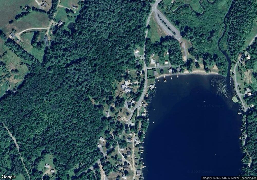
Map
Nearby Homes
- 282 S Main St
- 762 McLaren Hill Rd
- 663 Ferguson Rd
- 88 Mill Hill
- 1573 US Route 5 S
- 2536 Joes Brook Rd
- 2325 Keiser Pond Rd
- 847 Morses Mill Rd
- 00 Coppermine Rd Unit 59
- 210 Cow Hill Rd
- 1374 Old Silo Rd
- 2155 Oneida Rd
- 432 Glover Rd
- 0 Denio Rd Unit 5059200
- 0 Denio Rd Unit 5059211
- 0 Denio Rd Unit 5059215
- 0 Denio Rd Unit 24587948
- 0 Denio Rd
- 0 Denio Rd Unit 5059206
- 0 Denio Rd Unit 24587953
- 240 Harvey Mtn Rd
- 228 Harvey Mtn Rd
- 259 Harvey Mtn Rd
- 228 Harvey Mountain Rd
- 214 Harvey Mtn Rd
- 20 Sunny Beach Ln
- 64 Pavillion Ln
- 194 Harvey Mtn Rd
- 17 Sunny Beach Ln
- 40 Sunny Beach Ln
- 48 Sunny Beach Ln
- 41 Sunny Beach Ln
- 388 Harvey Mountain Rd
- 94 Pavillion Ln
- 64 Sunny Beach Ln
- 97 Pavillion Ln
- 15 Cottage Ln
- 388 Harvey Mtn Rd
- 133 Pavillion Ln
- 95 Harvey Mountain Rd