Estimated Value: $310,346 - $327,000
4
Beds
3
Baths
1,666
Sq Ft
$191/Sq Ft
Est. Value
About This Home
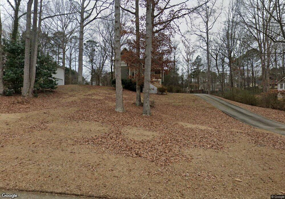
This home is located at 240 Jamie Dr, Hiram, GA 30141 and is currently estimated at $318,087, approximately $190 per square foot. 240 Jamie Dr is a home located in Paulding County with nearby schools including Connie Dugan Elementary School, Irma C. Austin Middle School, and South Paulding High School.
Ownership History
Date
Name
Owned For
Owner Type
Purchase Details
Closed on
Aug 31, 2004
Sold by
Blackwell Charles C and Blackwell Julie
Bought by
Williams Jgaya T
Current Estimated Value
Home Financials for this Owner
Home Financials are based on the most recent Mortgage that was taken out on this home.
Original Mortgage
$132,406
Outstanding Balance
$65,772
Interest Rate
5.92%
Mortgage Type
VA
Estimated Equity
$252,315
Create a Home Valuation Report for This Property
The Home Valuation Report is an in-depth analysis detailing your home's value as well as a comparison with similar homes in the area
Home Values in the Area
Average Home Value in this Area
Purchase History
| Date | Buyer | Sale Price | Title Company |
|---|---|---|---|
| Williams Jgaya T | $134,500 | -- |
Source: Public Records
Mortgage History
| Date | Status | Borrower | Loan Amount |
|---|---|---|---|
| Open | Williams Jgaya T | $132,406 |
Source: Public Records
Tax History Compared to Growth
Tax History
| Year | Tax Paid | Tax Assessment Tax Assessment Total Assessment is a certain percentage of the fair market value that is determined by local assessors to be the total taxable value of land and additions on the property. | Land | Improvement |
|---|---|---|---|---|
| 2024 | $2,692 | $111,472 | $12,000 | $99,472 |
| 2023 | $2,704 | $106,264 | $12,000 | $94,264 |
| 2022 | $2,396 | $93,796 | $12,000 | $81,796 |
| 2021 | $2,010 | $67,688 | $10,000 | $57,688 |
| 2020 | $1,875 | $64,976 | $10,000 | $54,976 |
| 2019 | $1,667 | $57,196 | $10,000 | $47,196 |
| 2018 | $1,644 | $56,436 | $10,000 | $46,436 |
| 2017 | $1,558 | $52,856 | $10,000 | $42,856 |
| 2016 | $1,387 | $47,736 | $10,000 | $37,736 |
| 2015 | $1,311 | $44,468 | $10,000 | $34,468 |
| 2014 | $979 | $32,868 | $10,000 | $22,868 |
| 2013 | -- | $30,720 | $12,000 | $18,720 |
Source: Public Records
Map
Nearby Homes
- 269 Shelby Ln
- 239 Clear Brook Trail
- 42 Crystal Springs Dr
- 23 Bomar Ln
- 263 Chandler Ridge Dr
- 3061 Dallas Nebo Rd
- 289 Ridge Run Dr
- 554 Oak Landing Cir
- 43 Oak Landing Cir
- 976 Bakers Bridge Rd
- 280 Glenn Eagles Way
- 1150 Denton Rd Unit 371
- 1150 Denton Rd
- 88 Lambeth Dr
- 1267 Austin Bridge Rd
- 1050 Denton Rd
- 463 Kent Ln
- 55 Hayes Trace
- 258 Jamie Dr
- 258 Jamie Dr Unit LOT 42
- 212 Jamie Dr
- 278 Jamie Dr
- 150 Charity Dr
- 94 Charity Dr
- 200 Jamie Dr
- 263 Jamie Dr
- 174 Charity Dr
- 298 Jamie Dr
- 0 Charity Dr Unit 7299076
- 0 Charity Dr Unit 7209477
- 0 Charity Dr Unit 7145167
- 0 Charity Dr Unit 8840668
- 0 Charity Dr Unit 8630288
- 0 Charity Dr Unit 8093803
- 0 Charity Dr Unit 8086784
- 0 Charity Dr Unit 7310577
- 0 Charity Dr Unit 3192134
- 0 Charity Dr Unit 8582337