240 North Rd Hillsborough, NH 03244
Hillsboro NeighborhoodEstimated Value: $564,000 - $750,788
4
Beds
2
Baths
2,360
Sq Ft
$279/Sq Ft
Est. Value
About This Home
This home is located at 240 North Rd, Hillsborough, NH 03244 and is currently estimated at $657,394, approximately $278 per square foot. 240 North Rd is a home located in Hillsborough County with nearby schools including Hillsboro-Deering Elementary School and Hillsboro-Deering High School.
Ownership History
Date
Name
Owned For
Owner Type
Purchase Details
Closed on
Jul 11, 2019
Sold by
Bryan Jon L and Bryan Nancy
Bought by
Flint Hill Llc
Current Estimated Value
Home Financials for this Owner
Home Financials are based on the most recent Mortgage that was taken out on this home.
Original Mortgage
$408,226
Outstanding Balance
$358,229
Interest Rate
3.9%
Mortgage Type
New Conventional
Estimated Equity
$299,165
Purchase Details
Closed on
Nov 17, 2008
Sold by
Stjohn-Smith Olivia
Bought by
Bryan Jon and Bryan Nancy
Create a Home Valuation Report for This Property
The Home Valuation Report is an in-depth analysis detailing your home's value as well as a comparison with similar homes in the area
Home Values in the Area
Average Home Value in this Area
Purchase History
| Date | Buyer | Sale Price | Title Company |
|---|---|---|---|
| Flint Hill Llc | $408,266 | -- | |
| Bryan Jon | $310,000 | -- |
Source: Public Records
Mortgage History
| Date | Status | Borrower | Loan Amount |
|---|---|---|---|
| Open | Flint Hill Llc | $408,226 |
Source: Public Records
Tax History Compared to Growth
Tax History
| Year | Tax Paid | Tax Assessment Tax Assessment Total Assessment is a certain percentage of the fair market value that is determined by local assessors to be the total taxable value of land and additions on the property. | Land | Improvement |
|---|---|---|---|---|
| 2024 | $4,425 | $132,323 | $53,423 | $78,900 |
| 2023 | $4,132 | $132,367 | $53,467 | $78,900 |
| 2022 | $3,545 | $132,815 | $53,915 | $78,900 |
| 2021 | $3,841 | $132,815 | $53,915 | $78,900 |
| 2020 | $8,287 | $129,201 | $53,901 | $75,300 |
| 2018 | $3,367 | $114,149 | $43,849 | $70,300 |
| 2017 | $7,602 | $113,871 | $43,571 | $70,300 |
| 2016 | $3,366 | $114,016 | $41,116 | $72,900 |
| 2015 | $3,311 | $113,982 | $41,082 | $72,900 |
| 2014 | $3,141 | $113,979 | $41,079 | $72,900 |
| 2013 | $4,211 | $150,054 | $71,854 | $78,200 |
Source: Public Records
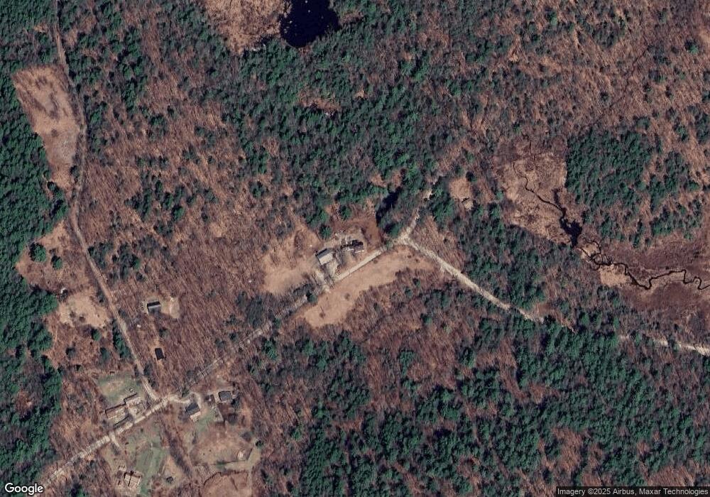
Map
Nearby Homes
- 44 Huntington Dr
- 32 Deerpoint Dr
- 17 Autumn Rd
- 37 Autumn Rd
- 17 Gould Pond Rd
- 10 Melody Ln
- 0 Spring St Unit 178 4855470
- 0 Spring St Unit 178 4855319
- 0 Huntington Dr Unit 373 4855140
- 0 Huntington Dr Unit 307 4855146
- 447 Center Rd
- 9 Hillside St
- 0 Center Rd
- 11 Hillside St
- 32-33 Red Fox Crossing
- 0 Raccoon Alley Unit 86 4855473
- 24 Raccoon Alley
- 0 Red Fox Crossing Unit 34 4858470
- Lot 265 Midnight Walk
- 0 Midnight Walk Unit 264 4914126
- 1 Dean Hill Rd
- 207 North Rd
- 196 North Rd
- 193 North Rd
- 1 Sugarhill Ln Unit 1a
- 7 Flint Rd
- 344 Concord End Rd
- Lot 4 & 5 Concord End Rd
- 418 Concord End Rd
- 320 Concord End Rd
- 319 Concord End Rd
- 96 Dean Hill Rd
- Map 5 Lot 108 North Rd
- 328 Concord End Rd
- 560 Concord End Rd
- M6 L16 Concord End
- 263 Concord End Rd
- 95 Colby Rd
- 241 Concord End Rd
- 241 Concord End Rd