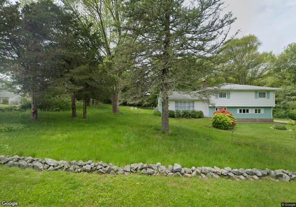
240 River Rd Pawcatuck, CT 06379
Estimated Value: $293,000 - $680,625
3
Beds
3
Baths
2,118
Sq Ft
$239/Sq Ft
Est. Value
About This Home
This home is located at 240 River Rd, Pawcatuck, CT 06379 and is currently estimated at $505,156, approximately $238 per square foot. 240 River Rd is a home located in New London County with nearby schools including Stonington Middle School, Stonington High School, and Pine Point School.
Ownership History
Date
Name
Owned For
Owner Type
Purchase Details
Closed on
Jun 7, 1995
Sold by
Beal William F and Beal Georgia
Bought by
Bessette Eugene S
Current Estimated Value
Create a Home Valuation Report for This Property
The Home Valuation Report is an in-depth analysis detailing your home's value as well as a comparison with similar homes in the area
Home Values in the Area
Average Home Value in this Area
Purchase History
| Date | Buyer | Sale Price | Title Company |
|---|---|---|---|
| Bessette Eugene S | $88,500 | -- | |
| Bessette Eugene S | $88,500 | -- |
Source: Public Records
Mortgage History
| Date | Status | Borrower | Loan Amount |
|---|---|---|---|
| Closed | Bessette Eugene S | $30,000 | |
| Closed | Bessette Eugene S | $16,683 | |
| Closed | Bessette Eugene S | $130,000 | |
| Closed | Bessette Eugene S | $27,059 |
Source: Public Records
Tax History Compared to Growth
Tax History
| Year | Tax Paid | Tax Assessment Tax Assessment Total Assessment is a certain percentage of the fair market value that is determined by local assessors to be the total taxable value of land and additions on the property. | Land | Improvement |
|---|---|---|---|---|
| 2025 | $6,525 | $340,750 | $124,750 | $216,000 |
| 2024 | $6,246 | $340,750 | $124,750 | $216,000 |
| 2023 | $6,188 | $340,750 | $124,750 | $216,000 |
| 2022 | $5,625 | $229,700 | $98,900 | $130,800 |
| 2021 | $5,671 | $229,700 | $98,900 | $130,800 |
| 2020 | $5,552 | $229,700 | $98,900 | $130,800 |
| 2019 | $5,576 | $229,200 | $98,900 | $130,300 |
| 2018 | $5,388 | $229,200 | $98,900 | $130,300 |
| 2017 | $5,297 | $222,010 | $101,010 | $121,000 |
| 2016 | $5,037 | $218,410 | $101,010 | $117,400 |
| 2015 | $4,820 | $218,410 | $101,010 | $117,400 |
| 2014 | $4,812 | $227,180 | $109,780 | $117,400 |
Source: Public Records
Map
Nearby Homes
- 23 Summertime Cir
- 22 Summertime Cir
- 45 Summertime Cir
- 38 Summertime Cir
- 14 Summertime Cir
- Monroe Plan at The Enclave at Barn Island
- Lincoln Plan at The Enclave at Barn Island
- Roosevelt Plan at The Enclave at Barn Island
- 16 Summertime Cir
- 446 Greenhaven Rd
- 16 Green Ave
- 0 Green Ave
- 18 Timothy Dr
- 417 River Rd
- 2 Brass Ring Rd
- 11 Hubbard St
- 3 Riverview Ave
- 9 Cedar Crest Dr
- 67 Renee Dr
- 24 Abbey Ln Unit 13