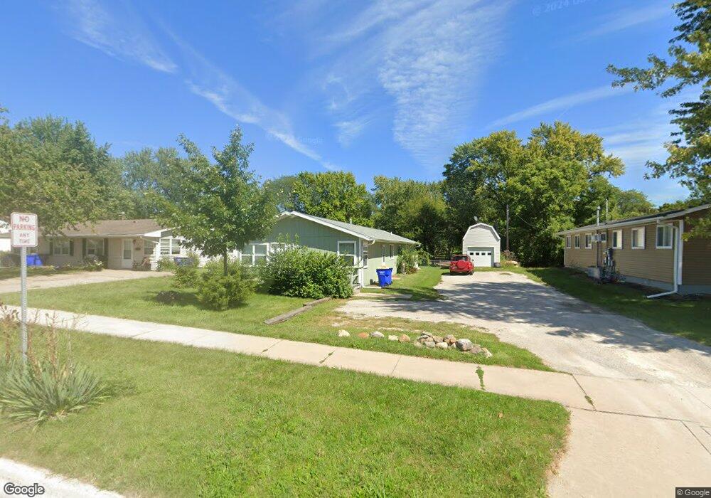
240 S Front St Unit 242 North Liberty, IA 52317
Estimated Value: $248,000 - $277,000
4
Beds
2
Baths
1,536
Sq Ft
$169/Sq Ft
Est. Value
About This Home
This home is located at 240 S Front St Unit 242, North Liberty, IA 52317 and is currently estimated at $259,325, approximately $168 per square foot. 240 S Front St Unit 242 is a home located in Johnson County with nearby schools including Buford Garner Elementary School, North Central Junior High School, and Liberty High School.
Ownership History
Date
Name
Owned For
Owner Type
Purchase Details
Closed on
May 15, 2007
Sold by
Rodgers David Earl and Rodgers Kyla Kaye
Bought by
Hobbs Douglas L
Current Estimated Value
Home Financials for this Owner
Home Financials are based on the most recent Mortgage that was taken out on this home.
Original Mortgage
$110,888
Outstanding Balance
$67,267
Interest Rate
6.21%
Mortgage Type
FHA
Estimated Equity
$192,058
Create a Home Valuation Report for This Property
The Home Valuation Report is an in-depth analysis detailing your home's value as well as a comparison with similar homes in the area
Home Values in the Area
Average Home Value in this Area
Purchase History
| Date | Buyer | Sale Price | Title Company |
|---|---|---|---|
| Hobbs Douglas L | $112,000 | None Available |
Source: Public Records
Mortgage History
| Date | Status | Borrower | Loan Amount |
|---|---|---|---|
| Open | Hobbs Douglas L | $110,888 |
Source: Public Records
Tax History Compared to Growth
Tax History
| Year | Tax Paid | Tax Assessment Tax Assessment Total Assessment is a certain percentage of the fair market value that is determined by local assessors to be the total taxable value of land and additions on the property. | Land | Improvement |
|---|---|---|---|---|
| 2025 | $3,380 | $224,900 | $60,500 | $164,400 |
| 2024 | $3,304 | $206,800 | $60,500 | $146,300 |
| 2023 | $2,946 | $206,800 | $60,500 | $146,300 |
| 2022 | $2,792 | $160,700 | $30,200 | $130,500 |
| 2021 | $2,824 | $160,700 | $30,200 | $130,500 |
| 2020 | $2,824 | $155,000 | $30,200 | $124,800 |
| 2019 | $2,608 | $155,000 | $30,200 | $124,800 |
| 2018 | $2,554 | $143,700 | $30,200 | $113,500 |
| 2017 | $2,312 | $143,700 | $30,200 | $113,500 |
| 2016 | $2,246 | $130,200 | $30,200 | $100,000 |
| 2015 | $2,246 | $130,200 | $30,200 | $100,000 |
| 2014 | $1,924 | $112,400 | $30,200 | $82,200 |
Source: Public Records
Map
Nearby Homes
- 25 Birch Ct
- 270 & 280 Chestnut St
- 20 E Zeller St
- 200 Juniper Ct
- 70 Heidi Ln
- 90 Heidi Ln Unit F90
- 415 Heritage Place Unit 417
- 425 Heritage Place
- 320 Lockview Ave
- 110 Whitman Ave
- 100 E Weston Dr
- 445 Heritage Place
- 455 Heritage Place
- 420 W Zeller St
- 95 E Weston Dr
- 100 Cherry Ct Unit 2
- 230 E Tartan Dr
- 805 Blue Sky Dr Unit 301
- 855 Blue Sky Dr Unit 304
- 815 Yorkshire St