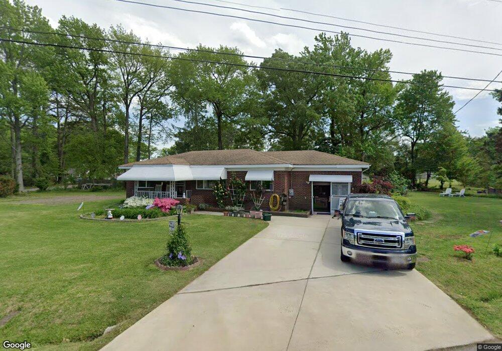
240 Toy Ave Unit X4648 Virginia Beach, VA 23462
Bayside NeighborhoodEstimated Value: $193,000 - $321,000
3
Beds
1
Bath
1,075
Sq Ft
$245/Sq Ft
Est. Value
About This Home
This home is located at 240 Toy Ave Unit X4648, Virginia Beach, VA 23462 and is currently estimated at $263,421, approximately $245 per square foot. 240 Toy Ave Unit X4648 is a home located in Virginia Beach City with nearby schools including Point O' View Elementary School, Larkspur Middle School, and Kempsville High School.
Ownership History
Date
Name
Owned For
Owner Type
Purchase Details
Closed on
Sep 14, 2009
Sold by
Cooper Iii Trust James C
Bought by
Barron Richard
Current Estimated Value
Home Financials for this Owner
Home Financials are based on the most recent Mortgage that was taken out on this home.
Original Mortgage
$171,830
Outstanding Balance
$111,976
Interest Rate
5.12%
Mortgage Type
FHA
Estimated Equity
$151,445
Create a Home Valuation Report for This Property
The Home Valuation Report is an in-depth analysis detailing your home's value as well as a comparison with similar homes in the area
Home Values in the Area
Average Home Value in this Area
Purchase History
| Date | Buyer | Sale Price | Title Company |
|---|---|---|---|
| Barron Richard | $175,000 | -- |
Source: Public Records
Mortgage History
| Date | Status | Borrower | Loan Amount |
|---|---|---|---|
| Open | Barron Richard | $171,830 |
Source: Public Records
Tax History Compared to Growth
Tax History
| Year | Tax Paid | Tax Assessment Tax Assessment Total Assessment is a certain percentage of the fair market value that is determined by local assessors to be the total taxable value of land and additions on the property. | Land | Improvement |
|---|---|---|---|---|
| 2025 | $1,611 | $218,300 | $128,000 | $90,300 |
| 2024 | $1,611 | $166,100 | $110,100 | $56,000 |
| 2023 | $1,517 | $153,200 | $98,600 | $54,600 |
| 2022 | $1,440 | $145,500 | $93,400 | $52,100 |
| 2021 | $1,352 | $136,600 | $85,400 | $51,200 |
| 2020 | $1,390 | $136,600 | $85,400 | $51,200 |
| 2019 | $1,345 | $130,400 | $85,400 | $45,000 |
| 2018 | $1,307 | $130,400 | $85,400 | $45,000 |
| 2017 | $1,293 | $129,000 | $84,500 | $44,500 |
| 2016 | $1,291 | $130,400 | $84,500 | $45,900 |
| 2015 | $1,363 | $137,700 | $86,600 | $51,100 |
| 2014 | $1,136 | $130,800 | $89,700 | $41,100 |
Source: Public Records
Map
Nearby Homes
- 5343 Tuttle Creek Ct
- 308 Gilead Trail
- 419 Adkins Arch
- 434 Peregrine St
- 5207 Richard Rd
- 291 Fair Meadows Rd
- 125 S Parliament Dr
- 5113 Condor St
- 5600 Landfall Dr Unit 102
- 5348 Garnett Pointe Ct
- 137 S Parliament Dr
- 622 Crows Nest Ct
- 513 Wharf Ct
- 515 Wharf Ct
- 507 Wharf Ct
- 655 Crows Nest Ct
- 5682 Landfall Dr
- 512 Treble Ct
- 501 Peak Ct
- 492 Baker Rd
- 239 Sedgefield Ave
- 243 Sedgefield Ave
- 239 Toy Ave
- 243 Toy Ave
- 246 Toy Ave
- 247 Sedgefield Ave
- 247 Toy Ave
- 250 Toy Ave
- 238 Sedgefield Ave
- 234 Sedgefield Ave
- 251 Sedgefield Ave
- 242 Sedgefield Ave
- 246 Sedgefield Ave
- 254 Toy Ave
- 253 Toy Ave Unit X4647
- 255 Sedgefield Ave
- 250 Sedgefield Ave
- 258 Toy Ave
- 259 Sedgefield Ave
- 254 Sedgefield Ave