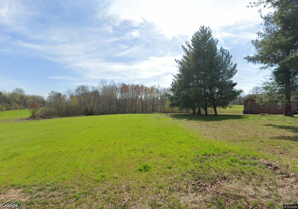
2400 Bertha Owen Rd Morrison, TN 37357
Cannon County NeighborhoodEstimated Value: $195,000 - $276,000
--
Bed
1
Bath
1,014
Sq Ft
$234/Sq Ft
Est. Value
About This Home
This home is located at 2400 Bertha Owen Rd, Morrison, TN 37357 and is currently estimated at $237,667, approximately $234 per square foot. 2400 Bertha Owen Rd is a home located in Cannon County with nearby schools including Cannon County High School.
Ownership History
Date
Name
Owned For
Owner Type
Purchase Details
Closed on
Dec 1, 2009
Sold by
Lewis Dean Lowell
Bought by
Rapier Denise
Current Estimated Value
Home Financials for this Owner
Home Financials are based on the most recent Mortgage that was taken out on this home.
Original Mortgage
$60,581
Outstanding Balance
$38,170
Interest Rate
5.01%
Mortgage Type
FHA
Estimated Equity
$199,497
Purchase Details
Closed on
Aug 11, 1994
Bought by
Lewis Dean Lowell
Purchase Details
Closed on
Sep 5, 1991
Bought by
Lewis Ruth Jane
Purchase Details
Closed on
Jun 7, 1920
Bought by
Lewis Stanley S
Create a Home Valuation Report for This Property
The Home Valuation Report is an in-depth analysis detailing your home's value as well as a comparison with similar homes in the area
Home Values in the Area
Average Home Value in this Area
Purchase History
| Date | Buyer | Sale Price | Title Company |
|---|---|---|---|
| Rapier Denise | $61,700 | -- | |
| Lewis Dean Lowell | $35,000 | -- | |
| Lewis Ruth Jane | -- | -- | |
| Lewis Stanley S | -- | -- |
Source: Public Records
Mortgage History
| Date | Status | Borrower | Loan Amount |
|---|---|---|---|
| Open | Lewis Stanley S | $60,581 |
Source: Public Records
Tax History Compared to Growth
Tax History
| Year | Tax Paid | Tax Assessment Tax Assessment Total Assessment is a certain percentage of the fair market value that is determined by local assessors to be the total taxable value of land and additions on the property. | Land | Improvement |
|---|---|---|---|---|
| 2025 | $685 | $89,050 | $0 | $0 |
| 2024 | $685 | $42,925 | $15,375 | $27,550 |
| 2023 | $654 | $42,925 | $15,375 | $27,550 |
| 2022 | $599 | $24,350 | $7,025 | $17,325 |
| 2021 | $599 | $24,350 | $7,025 | $17,325 |
| 2020 | $599 | $24,350 | $7,025 | $17,325 |
| 2019 | $599 | $24,350 | $7,025 | $17,325 |
| 2018 | $580 | $24,350 | $7,025 | $17,325 |
| 2017 | $587 | $20,325 | $6,625 | $13,700 |
| 2016 | $559 | $20,325 | $6,625 | $13,700 |
| 2015 | $514 | $20,325 | $6,625 | $13,700 |
| 2014 | $514 | $20,325 | $6,625 | $13,700 |
Source: Public Records
Map
Nearby Homes
- 1347 Bertha Owen Rd
- 75 Joe Witty Rd
- 1051 Herman Lance Rd
- 0 Jacksboro Trail
- 822 Bogle Rd
- 438 Earle Ln
- 11220 Shelbyville Rd
- 11010 Shelbyville Rd
- 7324 Jacksboro Rd
- Lot 13 Heather Heights
- Lot 8 Heather Heights
- Lot 5 Heather Heights
- Lot 8&9 Heather Heights
- Lot 7 Heather Heights
- Lot 10 Heather Heights
- Lot 11 Heather Heights
- Lot 9 Heather Heights
- 90 Heather Heights
- 8165 Jim Cummings Hwy
- 0 Heather Heights
- 332 Haley Rd
- 244 Cawthorn Creek Ln
- 126 Coppinger Rd
- 857 Talbert Rd
- 1677 Bertha Owen Rd
- 1053 Talbert Rd
- 1197 Talbert Rd
- 0 Taylor Lake Rd
- 4951 Pleasant View Rd
- 6911 Petigap Rd
- 440 Talbert Rd
- 4335 Pleasant View Rd
- 4466 Pleasant View Rd
- 1456 Bertha Owen Rd
- 182 Taylor Lake Rd
- 5129 Pleasant View Rd
- 370 Talbert Rd
- 108 Waisanen Rd
- 316 Talbert Rd
- 7297 Petigap Rd
