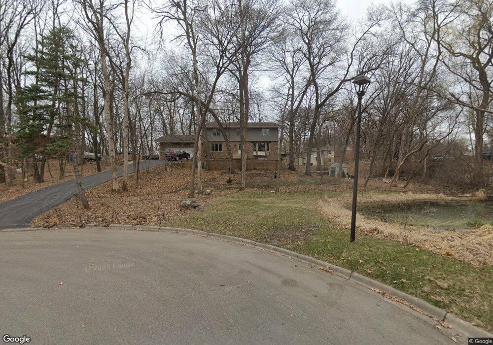
2400 Britton Ln Wayzata, MN 55391
Estimated Value: $675,778 - $862,000
5
Beds
4
Baths
3,352
Sq Ft
$233/Sq Ft
Est. Value
About This Home
This home is located at 2400 Britton Ln, Wayzata, MN 55391 and is currently estimated at $780,445, approximately $232 per square foot. 2400 Britton Ln is a home located in Hennepin County with nearby schools including Gleason Lake Elementary School, Wayzata West Middle School, and Wayzata High School.
Ownership History
Date
Name
Owned For
Owner Type
Purchase Details
Closed on
Feb 25, 2010
Sold by
Engh Susan L and Engh Michael K
Bought by
Ulici Angela and Ulici Octavian
Current Estimated Value
Purchase Details
Closed on
Sep 17, 1998
Sold by
Bruce Bren Homes Inc
Bought by
Binger E Thomas
Purchase Details
Closed on
Jan 26, 1996
Sold by
Behring William
Bought by
Engh Michael K and Engh Susan L
Create a Home Valuation Report for This Property
The Home Valuation Report is an in-depth analysis detailing your home's value as well as a comparison with similar homes in the area
Home Values in the Area
Average Home Value in this Area
Purchase History
| Date | Buyer | Sale Price | Title Company |
|---|---|---|---|
| Ulici Angela | $390,000 | -- | |
| Binger E Thomas | $200,000 | -- | |
| Engh Michael K | $229,900 | -- |
Source: Public Records
Tax History Compared to Growth
Tax History
| Year | Tax Paid | Tax Assessment Tax Assessment Total Assessment is a certain percentage of the fair market value that is determined by local assessors to be the total taxable value of land and additions on the property. | Land | Improvement |
|---|---|---|---|---|
| 2024 | $7,126 | $561,500 | $225,500 | $336,000 |
| 2023 | $6,768 | $561,400 | $225,500 | $335,900 |
| 2022 | $5,920 | $527,000 | $225,500 | $301,500 |
| 2021 | $5,817 | $444,500 | $205,000 | $239,500 |
| 2020 | $6,067 | $438,600 | $205,000 | $233,600 |
| 2019 | $5,854 | $440,900 | $205,000 | $235,900 |
| 2018 | $5,614 | $428,000 | $205,000 | $223,000 |
| 2017 | $5,616 | $404,500 | $183,700 | $220,800 |
| 2016 | $6,025 | $427,300 | $165,000 | $262,300 |
| 2015 | $5,976 | $413,300 | $150,000 | $263,300 |
| 2014 | -- | $371,700 | $150,000 | $221,700 |
Source: Public Records
Map
Nearby Homes
- 2346 Linner Rd
- 2426 Meeting St
- 2131 Sheridan Hills Rd
- 2209 Meeting St
- 2501 Wellington Cir
- 2717 Hidden Creek Ln
- 15730 Portico Dr
- 2400 Indian Rd W
- 2515 Tonkawa Trail
- 2413 Indian Rd W
- 1527 Clarendon Dr
- 16110 Crosby Cove Rd
- 1701 Oakland Rd
- 1516 Brightwood Dr
- 2200 Essex Rd
- 2935 Minnehaha Curve
- 16307 Mcginty Rd W
- 2508 Cheyenne Cir
- 2350 Cherrywood Rd
- 14510 Minnehaha Place
- 2400 2400 Britton-Lane-
- 2400 2400 Britton Ln
- 2318 Linner Rd
- 15100 Stone Rd
- 2318 2318 Linner Rd
- 2317 Linner Rd
- 2408 Britton Ln
- 15110 Stone Rd
- 15101 Stone Ridge Trace
- 2401 Britton Ln
- 2306 Linner Rd
- 2324 Linner Rd
- 2336 Linner Rd
- 2417 Britton Ln
- 2409 Britton Ln
- 2330 Linner Rd
- 15100 Stone Ridge Trace
- 15111 Stone Ridge Trace
- 15000 Stone Rd
- 2340 Linner Rd