2400 Norwood Stephens Rd Adrian, GA 31002
Estimated Value: $266,000 - $668,000
--
Bed
3
Baths
1,365
Sq Ft
$332/Sq Ft
Est. Value
About This Home
This home is located at 2400 Norwood Stephens Rd, Adrian, GA 31002 and is currently estimated at $453,558, approximately $332 per square foot. 2400 Norwood Stephens Rd is a home located in Laurens County with nearby schools including Northwest Laurens Elementary School, Southwest Laurens Elementary School, and East Laurens Primary School.
Ownership History
Date
Name
Owned For
Owner Type
Purchase Details
Closed on
Jan 13, 2015
Sold by
Williams Hube
Bought by
Country Lots Llc
Current Estimated Value
Purchase Details
Closed on
Apr 11, 2006
Sold by
Thigpin Gordon D
Bought by
Thigpin Clinton T
Purchase Details
Closed on
Mar 8, 2006
Sold by
Thigpin Clinton T
Bought by
Thigpin Gordon D
Purchase Details
Closed on
Apr 30, 1985
Bought by
Thigpin Gordon D
Create a Home Valuation Report for This Property
The Home Valuation Report is an in-depth analysis detailing your home's value as well as a comparison with similar homes in the area
Home Values in the Area
Average Home Value in this Area
Purchase History
| Date | Buyer | Sale Price | Title Company |
|---|---|---|---|
| Country Lots Llc | $361,364 | -- | |
| Thigpin Clinton T | -- | -- | |
| Thigpin Gordon D | -- | -- | |
| Thigpin Gordon D | -- | -- |
Source: Public Records
Tax History Compared to Growth
Tax History
| Year | Tax Paid | Tax Assessment Tax Assessment Total Assessment is a certain percentage of the fair market value that is determined by local assessors to be the total taxable value of land and additions on the property. | Land | Improvement |
|---|---|---|---|---|
| 2024 | $2,682 | $129,425 | $86,379 | $43,046 |
| 2023 | $2,326 | $7,662 | $0 | $7,662 |
| 2022 | $2,653 | $124,565 | $82,794 | $41,771 |
| 2021 | $2,394 | $109,502 | $63,670 | $45,832 |
| 2020 | $2,396 | $109,502 | $63,670 | $45,832 |
| 2019 | $2,398 | $109,502 | $63,670 | $45,832 |
| 2018 | $2,401 | $109,502 | $63,670 | $45,832 |
| 2017 | $2,399 | $109,502 | $63,670 | $45,832 |
| 2016 | $2,402 | $109,502 | $63,670 | $45,832 |
| 2015 | -- | $109,502 | $63,670 | $45,832 |
| 2014 | -- | $85,306 | $48,218 | $37,088 |
Source: Public Records
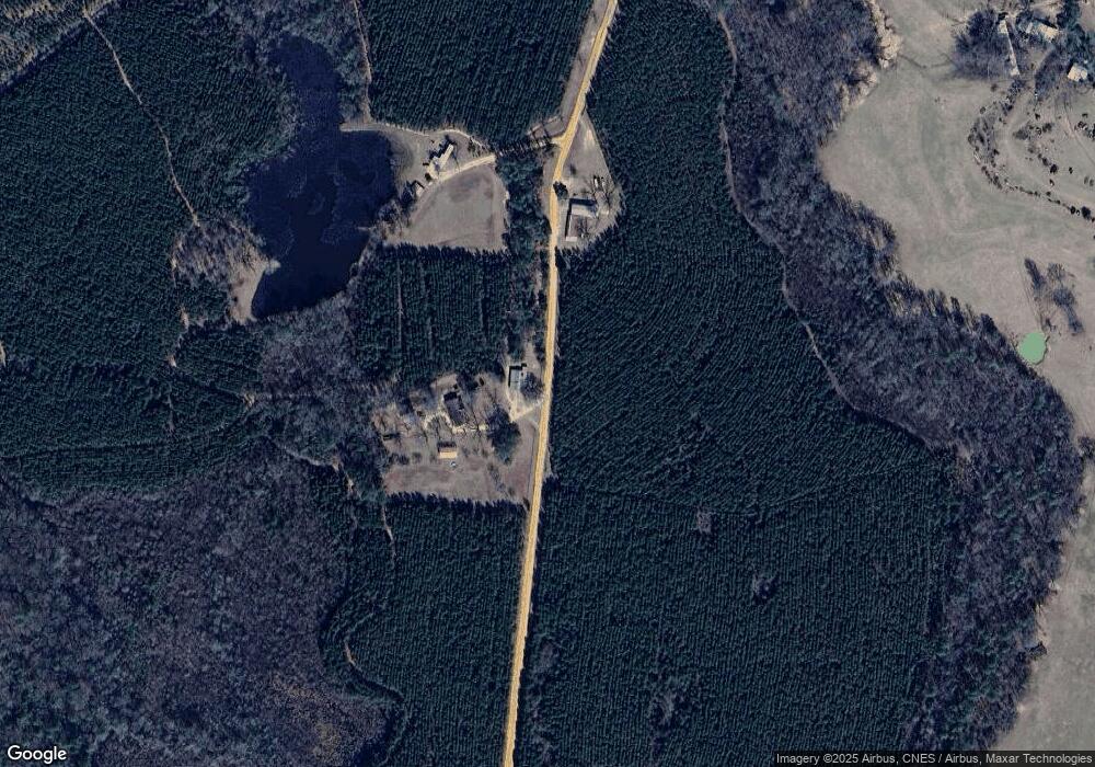
Map
Nearby Homes
- 0 Poplar Springs Church Rd Unit 10557967
- 00 Poplar Springs Church Rd
- 0 Pendleton Creek Rd Unit SA340356
- Pendleton Rreek Rd
- 2618 Georgia 86
- NA Rd
- 499 Smith Chapel Rd
- 311 Church St
- 210 W College St
- 0 Muskogee Trail Unit 25917
- 0 Muskogee Trail Unit LOT 78 20128125
- 250 Archers Pond Smith Rd
- 509 Maddox Rd
- 0 Lake Helen Loop Unit 10640271
- 0 Walden Way Unit 10601502
- 0 Red Hill Cemetery Rd Unit 30103
- 0 Red Hill Cemetery Rd Unit 10564131
- 35 Barwick Kea Rd
- 117 Lovett Scott Rd
- 859 Silver Rd