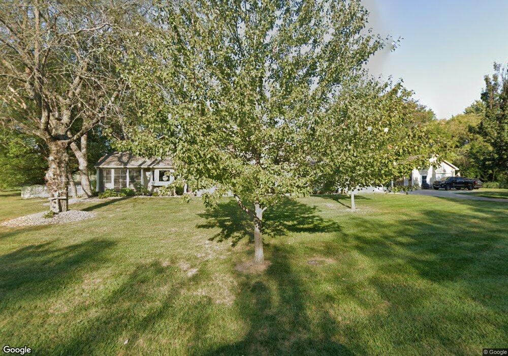
24002 Poindexter Rd Lees Summit, MO 64086
Estimated Value: $444,000 - $667,000
3
Beds
3
Baths
1,972
Sq Ft
$267/Sq Ft
Est. Value
About This Home
This home is located at 24002 Poindexter Rd, Lees Summit, MO 64086 and is currently estimated at $527,407, approximately $267 per square foot. 24002 Poindexter Rd is a home located in Jackson County with nearby schools including Woodland Elementary School, Pleasant Lea Middle School, and Lee's Summit Senior High School.
Ownership History
Date
Name
Owned For
Owner Type
Purchase Details
Closed on
Jan 5, 2005
Sold by
Collins Janis L
Bought by
Simpson Aaron and Simpson Amy E
Current Estimated Value
Home Financials for this Owner
Home Financials are based on the most recent Mortgage that was taken out on this home.
Original Mortgage
$189,600
Outstanding Balance
$101,979
Interest Rate
6.75%
Mortgage Type
Purchase Money Mortgage
Estimated Equity
$425,428
Create a Home Valuation Report for This Property
The Home Valuation Report is an in-depth analysis detailing your home's value as well as a comparison with similar homes in the area
Home Values in the Area
Average Home Value in this Area
Purchase History
| Date | Buyer | Sale Price | Title Company |
|---|---|---|---|
| Simpson Aaron | -- | Kansas City Title |
Source: Public Records
Mortgage History
| Date | Status | Borrower | Loan Amount |
|---|---|---|---|
| Open | Simpson Aaron | $189,600 |
Source: Public Records
Tax History Compared to Growth
Tax History
| Year | Tax Paid | Tax Assessment Tax Assessment Total Assessment is a certain percentage of the fair market value that is determined by local assessors to be the total taxable value of land and additions on the property. | Land | Improvement |
|---|---|---|---|---|
| 2025 | $5,301 | $80,408 | $51,897 | $28,511 |
| 2024 | $5,247 | $76,036 | $12,215 | $63,821 |
| 2023 | $5,247 | $76,037 | $19,806 | $56,231 |
| 2022 | $4,768 | $60,800 | $10,162 | $50,638 |
| 2021 | $4,560 | $60,800 | $10,162 | $50,638 |
| 2020 | $4,511 | $57,906 | $10,162 | $47,744 |
| 2019 | $4,409 | $57,906 | $10,162 | $47,744 |
| 2018 | $1,042,046 | $50,397 | $8,844 | $41,553 |
| 2017 | $4,130 | $50,397 | $8,844 | $41,553 |
| 2016 | $4,064 | $49,134 | $11,799 | $37,335 |
| 2014 | $4,254 | $50,292 | $8,565 | $41,727 |
Source: Public Records
Map
Nearby Homes
- 25207 Timberlake Trail
- 12714 S Harris Rd
- 14017 Crawford Creek Cir
- 14400 Stringtown Ct
- 13904 Crawford Creek Cir
- 14412 Stringtown Ct
- 14609 Stringtown Dr
- 13932 Crawford Creek Ct
- 13911 Crawford Creek Cir
- 14409 Stringtown Ct
- 14516 Stringtown Dr
- 14403 Stringtown Ct
- 14610 Stringtown Cir
- 13908 Crawford Creek Cir
- 14502 Stringtown Cir
- 14804 Smart Rd
- 12500 S White Ash Ln
- Twin Tupelo Plan at Bailey Farms
- Basswood Plan at Bailey Farms
- Carolina Plan at Bailey Farms
- 24004 Poindexter Rd
- 23908 Poindexter Rd
- 24005 Poindexter Rd
- 24006 Poindexter Rd
- 23810 Poindexter Rd
- 24007 Poindexter Rd
- 23903 Poindexter Rd
- 23800 Poindexter Rd
- 13115 Pratt Rd
- 24008 Poindexter Rd
- 23805 Poindexter Rd
- 13107 Pratt Rd
- 24009 Poindexter Rd
- 13124 Pratt Rd
- 13023 Pratt Rd
- 13116 Pratt Rd
- 13217 Pratt Rd
- 24107 Poindexter Rd
- 13106 Pratt Rd
- 13013 Pratt Rd