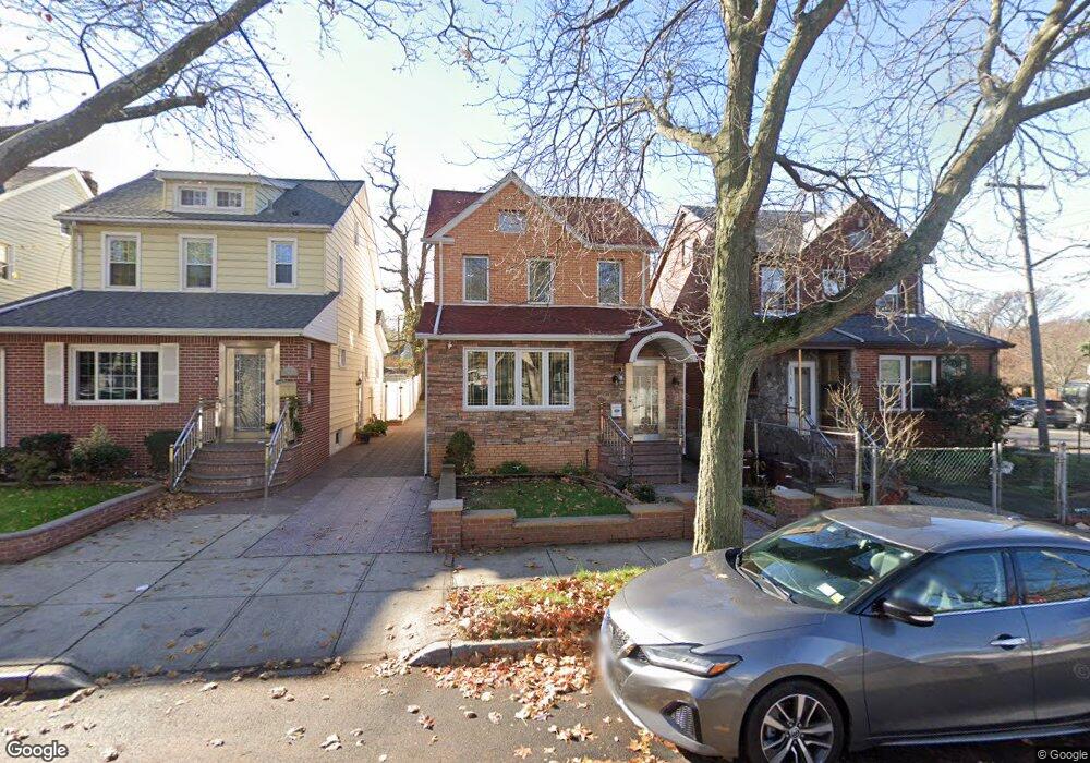
24006 Mayda Rd Rosedale, NY 11422
Rosedale NeighborhoodEstimated Value: $759,693 - $839,000
Studio
--
Bath
1,590
Sq Ft
$502/Sq Ft
Est. Value
About This Home
This home is located at 24006 Mayda Rd, Rosedale, NY 11422 and is currently estimated at $797,673, approximately $501 per square foot. 24006 Mayda Rd is a home located in Queens County with nearby schools including P.S. / M.S. 138 Sunrise, Collaborative Arts Middle School, and Success Academy Charter School - Rosedale.
Ownership History
Date
Name
Owned For
Owner Type
Purchase Details
Closed on
May 11, 2000
Sold by
Clarke Kenton S and Clarke Beverly V
Bought by
Mcdowell Patrick
Current Estimated Value
Home Financials for this Owner
Home Financials are based on the most recent Mortgage that was taken out on this home.
Original Mortgage
$222,585
Outstanding Balance
$76,896
Interest Rate
8.14%
Estimated Equity
$720,777
Purchase Details
Closed on
Jan 17, 1997
Sold by
Dantoni Claudio and Dantoni Saturnina
Bought by
Clarke Kenton S and Clarke Beverly
Create a Home Valuation Report for This Property
The Home Valuation Report is an in-depth analysis detailing your home's value as well as a comparison with similar homes in the area
Home Values in the Area
Average Home Value in this Area
Purchase History
| Date | Buyer | Sale Price | Title Company |
|---|---|---|---|
| Mcdowell Patrick | $230,000 | First American Title Ins Co | |
| Clarke Kenton S | $163,000 | First American Title Ins Co |
Source: Public Records
Mortgage History
| Date | Status | Borrower | Loan Amount |
|---|---|---|---|
| Open | Mcdowell Patrick | $222,585 |
Source: Public Records
Tax History
| Year | Tax Paid | Tax Assessment Tax Assessment Total Assessment is a certain percentage of the fair market value that is determined by local assessors to be the total taxable value of land and additions on the property. | Land | Improvement |
|---|---|---|---|---|
| 2025 | $6,046 | $33,394 | $6,844 | $26,550 |
| 2024 | $6,058 | $31,504 | $6,292 | $25,212 |
| 2023 | $5,688 | $29,722 | $6,579 | $23,143 |
| 2022 | $5,646 | $36,900 | $8,460 | $28,440 |
| 2021 | $5,704 | $31,440 | $8,460 | $22,980 |
| 2020 | $5,594 | $33,540 | $8,460 | $25,080 |
| 2019 | $5,199 | $31,680 | $8,460 | $23,220 |
| 2018 | $4,751 | $24,768 | $5,753 | $19,015 |
| 2017 | $4,749 | $24,768 | $6,170 | $18,598 |
| 2016 | $4,440 | $24,768 | $6,170 | $18,598 |
| 2015 | $2,646 | $23,190 | $8,731 | $14,459 |
| 2014 | $2,646 | $21,878 | $8,587 | $13,291 |
Source: Public Records
Map
Nearby Homes
- 241-08 Newhall Ave
- 240-24 Caney Rd
- 146-15 243rd St
- 241-07 147th Ave
- 24358 Mayda Rd
- 24361 Mayda Rd
- 23915 147th Rd
- 24909 Mayda Rd
- 243-51 Caney Rd
- 14421 230th Place
- 245-39 147th Dr
- 14772 Huxley St
- 23938 147th Dr
- 241-23 148th Ave
- 241-06 141st Ave
- 24930 147th Rd
- 142-29 230th Place
- 235-36 148th Ave
- 14214 231st St
- 143-61 230th St
- 24008 Mayda Rd
- 24002 Mayda Rd
- 24012 Mayda Rd
- 24014 Mayda Rd
- 240-14 Mayda Rd
- 24005 Newhall Ave
- 24009 Newhall Ave
- 24011 Newhall Ave
- 24001 Newhall Ave
- 24018 Mayda Rd
- 24015 Newhall Ave
- 240-15 Newhall Ave
- 240-27 Newhall Ave
- 24017 Newhall Ave
- 24020 Mayda Rd
- 24001 Mayda Rd
- 24005 Mayda Rd
- 24009 Mayda Rd
- 24021 Newhall Ave
- 240-11 Mayda Rd
Your Personal Tour Guide
Ask me questions while you tour the home.