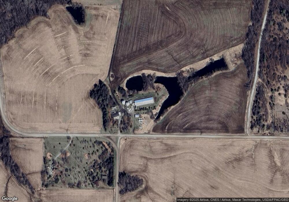
2401 145th St Fairfield, IA 52556
Estimated Value: $286,000 - $433,000
3
Beds
2
Baths
1,440
Sq Ft
$249/Sq Ft
Est. Value
About This Home
This home is located at 2401 145th St, Fairfield, IA 52556 and is currently estimated at $358,312, approximately $248 per square foot. 2401 145th St is a home located in Jefferson County with nearby schools including Fairfield High School.
Ownership History
Date
Name
Owned For
Owner Type
Purchase Details
Closed on
Dec 2, 2020
Sold by
Doyle Patrick C and Doyle Debra
Bought by
Carrington Pointe Ii Llc
Current Estimated Value
Purchase Details
Closed on
Jan 10, 2005
Sold by
Buch Eugene E and Buch Helen
Bought by
Deutsch Robert L
Home Financials for this Owner
Home Financials are based on the most recent Mortgage that was taken out on this home.
Original Mortgage
$57,200
Interest Rate
6%
Mortgage Type
Future Advance Clause Open End Mortgage
Create a Home Valuation Report for This Property
The Home Valuation Report is an in-depth analysis detailing your home's value as well as a comparison with similar homes in the area
Home Values in the Area
Average Home Value in this Area
Purchase History
| Date | Buyer | Sale Price | Title Company |
|---|---|---|---|
| Carrington Pointe Ii Llc | $212,500 | None Available | |
| Deutsch Robert L | $218,000 | None Available |
Source: Public Records
Mortgage History
| Date | Status | Borrower | Loan Amount |
|---|---|---|---|
| Previous Owner | Deutsch Robert L | $57,200 |
Source: Public Records
Tax History Compared to Growth
Tax History
| Year | Tax Paid | Tax Assessment Tax Assessment Total Assessment is a certain percentage of the fair market value that is determined by local assessors to be the total taxable value of land and additions on the property. | Land | Improvement |
|---|---|---|---|---|
| 2025 | $3,050 | $302,800 | $62,200 | $240,600 |
| 2024 | $3,050 | $258,800 | $50,200 | $208,600 |
| 2023 | $2,424 | $238,500 | $50,200 | $188,300 |
| 2022 | $2,468 | $180,400 | $39,200 | $141,200 |
| 2021 | $2,468 | $183,300 | $42,100 | $141,200 |
| 2020 | $2,292 | $169,200 | $25,900 | $143,300 |
| 2019 | $2,768 | $198,500 | $0 | $0 |
| 2018 | $2,618 | $198,500 | $0 | $0 |
| 2017 | $2,618 | $192,300 | $0 | $0 |
| 2016 | $2,480 | $192,300 | $0 | $0 |
| 2015 | $2,274 | $178,100 | $0 | $0 |
| 2014 | $2,274 | $174,500 | $0 | $0 |
| 2013 | $2,196 | $0 | $0 | $0 |
Source: Public Records
Map
Nearby Homes
- 0 Olive Ave Unit NOC6329122
- 0 Olive Ave Unit 23977969
- 0 Olive Ave Unit 202504242
- 2501 167th St
- 0 Old Farm Rd Unit NOC6332680
- 1523 Iowa 1
- 2190 125th St
- 1239 Pleasant Plain Rd
- 2151 185th St Unit 8
- 2151 185th St Unit 7
- 2105 Silver Lakes Cir
- 0 Jai Ave Unit NOC6330429
- 0 Java Ave
- 2114 Sapphire Ln
- 2142 Garnet Ln
- 2104 Jade Ln
- 2050 Sapphire Ln
- 2040 Sapphire Ln Unit 2
- 401 Pond Rd
- 2008 N B St
- 2394 145th St
- 1460 Osage Ave
- 2363 142nd St
- 2439 145th St
- 2344 142nd St
- 1478 Osage Ave
- 1501 Osage Ave
- 1511 Osage Ave
- 1468 Pleasant Plain Rd
- 1468 Pleasant Plain Rd
- 1482 Pleasant Plain Rd
- Lot Pleasant Plain Rd
- 1385 Nipa Blvd
- 1428 Pleasant Plain Rd
- 1480 Nipa Blvd
- 1404 Nipa Blvd
- 2314 142nd St
- 1533 Olive Ave
- 1539 Olive Ave
- 1536 Olive Ave