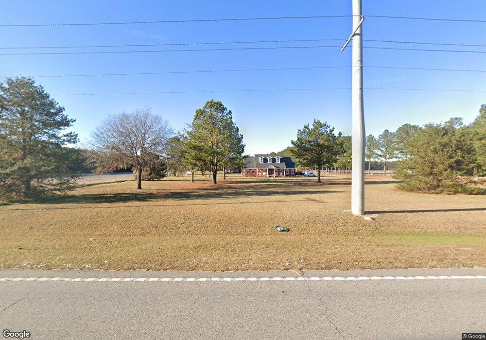
2401 Noel C Conaway Rd Guyton, GA 31312
Estimated Value: $364,862 - $414,000
--
Bed
1
Bath
2,172
Sq Ft
$177/Sq Ft
Est. Value
About This Home
This home is located at 2401 Noel C Conaway Rd, Guyton, GA 31312 and is currently estimated at $384,216, approximately $176 per square foot. 2401 Noel C Conaway Rd is a home located in Effingham County with nearby schools including Marlow Elementary School, South Effingham Middle School, and South Effingham High School.
Ownership History
Date
Name
Owned For
Owner Type
Purchase Details
Closed on
Apr 20, 2023
Sold by
Kessler Otis Raymond
Bought by
Cochran Morgan Kessler and Cochran Nicholas Andrew
Current Estimated Value
Purchase Details
Closed on
Nov 7, 2022
Sold by
Kessler Otis Raymond
Bought by
Kessler Otis Raymond and Kessler Anita H
Purchase Details
Closed on
Oct 27, 2021
Sold by
Kessler Otis Raymond
Bought by
Kessler Otis Raymond
Purchase Details
Closed on
Mar 15, 2007
Sold by
Kessler Otis Raymond
Bought by
Kessler Anita H and Kessler Otis Raymond
Create a Home Valuation Report for This Property
The Home Valuation Report is an in-depth analysis detailing your home's value as well as a comparison with similar homes in the area
Home Values in the Area
Average Home Value in this Area
Purchase History
| Date | Buyer | Sale Price | Title Company |
|---|---|---|---|
| Cochran Morgan Kessler | -- | -- | |
| Kessler Otis Raymond | -- | -- | |
| Kessler Otis Raymond | -- | -- | |
| Kessler Otis Raymond | -- | -- | |
| Kessler Anita H | -- | -- |
Source: Public Records
Tax History Compared to Growth
Tax History
| Year | Tax Paid | Tax Assessment Tax Assessment Total Assessment is a certain percentage of the fair market value that is determined by local assessors to be the total taxable value of land and additions on the property. | Land | Improvement |
|---|---|---|---|---|
| 2025 | $3,117 | $146,102 | $22,174 | $123,928 |
| 2024 | $3,117 | $131,224 | $14,216 | $117,008 |
| 2023 | $3,062 | $122,488 | $14,216 | $108,272 |
| 2022 | $1,923 | $139,897 | $31,625 | $108,272 |
| 2021 | $3,558 | $129,099 | $26,560 | $102,539 |
| 2020 | $3,352 | $122,966 | $26,039 | $96,927 |
| 2019 | $3,471 | $125,859 | $28,932 | $96,927 |
| 2018 | $3,013 | $108,767 | $18,980 | $89,787 |
| 2017 | $3,040 | $108,767 | $18,980 | $89,787 |
| 2016 | $2,886 | $107,944 | $18,980 | $88,964 |
| 2015 | -- | $107,944 | $18,980 | $88,964 |
| 2014 | -- | $107,944 | $18,980 | $88,964 |
| 2013 | -- | $107,944 | $18,980 | $88,964 |
Source: Public Records
Map
Nearby Homes
- 438 Kessler Loop
- 138 Hawthorne Dr
- 1257 Noel C Conaway Rd
- 105 Homestead Ct
- 102 Sam's Dr
- 119 Sams Dr
- 102 Winnai Ln
- 106 Buckingham Dr
- 102 Little Ben Ct
- 104 Little Ben Ct
- 100 Little Ben Ct
- 106 Little Ben Ct
- 681 Majestic Dr
- 679 Majestic Dr
- 673 Majestic Dr
- 214 Wessex Rd
- 275 Caribbean Village Dr
- 276 Caribbean Village Dr
- 178 Tobago Cir
- 247 Caribbean Village Dr
- 2405 Noel C Conaway Rd
- 2397 Noel C Conaway Rd
- 107 Noel C Conaway Rd
- 2439 Noel C Conaway Rd
- 109 Noel C Conaway Rd
- 2339 Noel C Conaway Rd
- 111 Noel C Conaway Rd
- 108 Rosewood Dr
- 128 Annie Dr
- 126 Annie Dr
- 124 Annie Dr
- 120 Annie Dr
- 118 Annie Dr
- 112 Annie Dr
- 106 Rosewood Dr
- 110 Rosewood Dr
- 2337 Noel C Conaway Rd
- 112 Rosewood Dr
- 104 Rosewood Dr
- 113 Noel C Conaway Rd