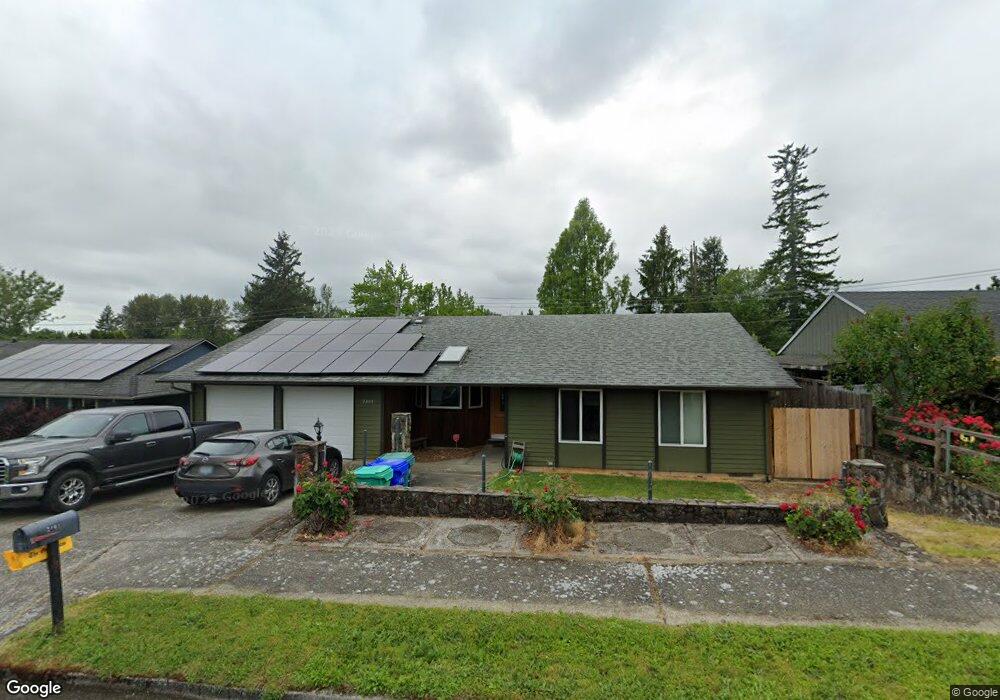
2401 SW 15th St Gresham, OR 97080
Southwest Gresham NeighborhoodEstimated Value: $415,000 - $470,000
3
Beds
2
Baths
1,380
Sq Ft
$318/Sq Ft
Est. Value
About This Home
This home is located at 2401 SW 15th St, Gresham, OR 97080 and is currently estimated at $439,278, approximately $318 per square foot. 2401 SW 15th St is a home located in Multnomah County with nearby schools including Hollydale Elementary School, Dexter McCarty Middle School, and Gresham High School.
Ownership History
Date
Name
Owned For
Owner Type
Purchase Details
Closed on
Jan 24, 2024
Sold by
Creswell Michael
Bought by
Michael R Creswell Revocable Living Trust and Creswell
Current Estimated Value
Purchase Details
Closed on
Apr 23, 1997
Sold by
Sappington Larry W
Bought by
Creswell Michael R and Creswell Pamela Rae
Home Financials for this Owner
Home Financials are based on the most recent Mortgage that was taken out on this home.
Original Mortgage
$108,000
Interest Rate
7.86%
Mortgage Type
Purchase Money Mortgage
Create a Home Valuation Report for This Property
The Home Valuation Report is an in-depth analysis detailing your home's value as well as a comparison with similar homes in the area
Home Values in the Area
Average Home Value in this Area
Purchase History
| Date | Buyer | Sale Price | Title Company |
|---|---|---|---|
| Michael R Creswell Revocable Living Trust | -- | None Listed On Document | |
| Creswell Michael R | $135,000 | Fidelity National Title Co |
Source: Public Records
Mortgage History
| Date | Status | Borrower | Loan Amount |
|---|---|---|---|
| Previous Owner | Creswell Michael R | $108,000 |
Source: Public Records
Tax History
| Year | Tax Paid | Tax Assessment Tax Assessment Total Assessment is a certain percentage of the fair market value that is determined by local assessors to be the total taxable value of land and additions on the property. | Land | Improvement |
|---|---|---|---|---|
| 2025 | $4,480 | $220,160 | -- | -- |
| 2024 | $4,289 | $213,750 | -- | -- |
| 2023 | $3,907 | $207,530 | $0 | $0 |
| 2022 | $3,798 | $201,490 | $0 | $0 |
| 2021 | $3,703 | $195,630 | $0 | $0 |
| 2020 | $3,484 | $189,940 | $0 | $0 |
| 2019 | $3,393 | $184,410 | $0 | $0 |
| 2018 | $3,235 | $179,040 | $0 | $0 |
| 2017 | $3,104 | $173,830 | $0 | $0 |
| 2016 | $2,736 | $168,770 | $0 | $0 |
Source: Public Records
Map
Nearby Homes
- 1960 SW 13th Ct
- 1963 SW Myers Place
- 3198 SW 16th Cir
- 1175 SW Chastain Dr
- 3079 SW 22nd St
- 404 SW Riverview Ave
- 1421 SW Binford Lake Pkwy
- 317 SW Angeline Ave
- 2398 SW Tegart Ave
- 1441 SW 23rd Ct
- 2160 SW 26th St
- 1333 SW 19th Dr
- 1434 SW 5th Place
- 2092 SW Thomas Place
- 21 NW Mawrcrest Ave
- 3756 SW 7th Ct
- 1333 SW 5th Place
- 512 SW Eastman Pkwy Unit 13
- 63 NW Mawrcrest Ave
- 2520 SW Towle Ave
- 2441 SW 15th St
- 2371 SW 15th St
- 2436 SW 14th Dr
- 2471 SW 15th St
- 2351 SW 15th St
- 2390 SW 15th St
- 2460 SW 15th St
- 2470 SW 15th St
- 2339 SW 14th Dr
- 2501 SW 15th St
- 1491 SW Lillyben Ave
- 2432 SW 14th Dr
- 2403 SW 16th St
- 2340 SW 15th St
- 2339 SW 14dr This Isit
- 2373 SW 16th St
- 2453 SW 16th St
- 2509 SW 14th Dr
- 2500 SW 15th St
- 1494 SW Battaglia Ave
Your Personal Tour Guide
Ask me questions while you tour the home.