2404 Shepherd Cir Northfield, NJ 08225
Estimated Value: $406,000 - $439,000
--
Bed
--
Bath
1,555
Sq Ft
$269/Sq Ft
Est. Value
About This Home
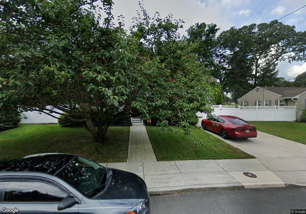
This home is located at 2404 Shepherd Cir, Northfield, NJ 08225 and is currently estimated at $417,750, approximately $268 per square foot. 2404 Shepherd Cir is a home located in Atlantic County with nearby schools including Northfield Community Elementary School, Northfield Community Middle School, and Mainland Regional High School.
Ownership History
Date
Name
Owned For
Owner Type
Purchase Details
Closed on
Jun 27, 2003
Sold by
Stanfa Michelle
Bought by
Mclearnon John
Current Estimated Value
Purchase Details
Closed on
Oct 14, 1998
Sold by
Barton Michael Robert Lane
Bought by
Stanfa Michelle Anne Lane
Purchase Details
Closed on
Oct 15, 1997
Sold by
Droboniku Nicholas A and Droboniku Katherine A
Bought by
Barton Michael R L
Purchase Details
Closed on
Jan 31, 1994
Sold by
Scheetz Victoria
Bought by
Droboniku Nicholas and Droboniku Katherine
Purchase Details
Closed on
Sep 4, 1991
Sold by
Siracusa Michael D
Bought by
Sheetz Victoria
Purchase Details
Closed on
Jan 16, 1990
Sold by
Brennan Frank P and Brennan Joan M
Bought by
Siracusa Michael D and Siracusa Mayberry,D
Create a Home Valuation Report for This Property
The Home Valuation Report is an in-depth analysis detailing your home's value as well as a comparison with similar homes in the area
Home Values in the Area
Average Home Value in this Area
Purchase History
| Date | Buyer | Sale Price | Title Company |
|---|---|---|---|
| Mclearnon John | $220,000 | -- | |
| Mclearnon John J | $220,000 | The Title Company Of Jersey | |
| Stanfa Michelle Anne Lane | -- | -- | |
| Barton Michael R L | $135,000 | The Title Company | |
| Droboniku Nicholas | $119,000 | -- | |
| Sheetz Victoria | $123,000 | -- | |
| Siracusa Michael D | $115,000 | -- |
Source: Public Records
Tax History Compared to Growth
Tax History
| Year | Tax Paid | Tax Assessment Tax Assessment Total Assessment is a certain percentage of the fair market value that is determined by local assessors to be the total taxable value of land and additions on the property. | Land | Improvement |
|---|---|---|---|---|
| 2025 | $7,004 | $195,000 | $78,900 | $116,100 |
| 2024 | $7,004 | $195,000 | $78,900 | $116,100 |
| 2023 | $6,809 | $195,000 | $78,900 | $116,100 |
| 2022 | $6,809 | $195,000 | $78,900 | $116,100 |
| 2021 | $6,737 | $195,000 | $78,900 | $116,100 |
| 2020 | $6,763 | $195,000 | $78,900 | $116,100 |
| 2019 | $6,648 | $195,000 | $78,900 | $116,100 |
| 2018 | $6,529 | $195,000 | $78,900 | $116,100 |
| 2017 | $6,312 | $195,000 | $78,900 | $116,100 |
| 2016 | $6,061 | $195,000 | $78,900 | $116,100 |
| 2015 | $5,977 | $195,000 | $78,900 | $116,100 |
| 2014 | $6,758 | $233,200 | $78,900 | $154,300 |
Source: Public Records
Map
Nearby Homes
- 2 Jenny Lynn Dr
- 2024 Zion Rd
- 608 Revere Ave
- 309 Clark Place
- 550 Central Ave Unit M3
- 550 Central Ave Unit B1
- 550 Central Ave Unit 4
- 550 Central Ave Unit G-16 Constitution Ct
- 550 Central Ave Unit E-14
- 550 Central Ave Unit I-7
- 19 Locust Dr
- 1907 Merritt Dr
- 550 G-16 Central Ave
- 1203 W Mill Rd
- 1 Mill Ln
- 14 Wexford Ln
- 12 Fischer Rd
- 5 Mill Ln
- 2221 Burroughs Ave
- 301 Wabash Ave
- 2406 Shepherd Cir
- 2402 Shepherd Cir
- 2414 Shepherd Cir
- 2412 Shepherd Cir
- 2416 Shepherd Cir
- 2405 Shepherd Cir
- 2408 Shepherd Cir
- 2407 Shepherd Cir
- 2403 Shepherd Cir
- 2410 Shepherd Cir
- 2409 Shepherd Cir
- 2411 Shepherd Cir
- 2423 Shepherd Cir
- 2425 Shepherd Cir
- 2421 Shepherd Cir
- 2413 Shepherd Cir
- 2415 Shepherd Cir
- 2427 Shepherd Cir
- 2504 Cedarbridge Rd
- 2417 Shepherd Cir