24042 V 66 Trail Montrose, CO 81403
Estimated Value: $945,000 - $1,105,373
3
Beds
2
Baths
2,536
Sq Ft
$412/Sq Ft
Est. Value
About This Home
This home is located at 24042 V 66 Trail, Montrose, CO 81403 and is currently estimated at $1,045,343, approximately $412 per square foot. 24042 V 66 Trail is a home located in Montrose County with nearby schools including Cottonwood Elementary School, Columbine Middle School, and Montrose High School.
Ownership History
Date
Name
Owned For
Owner Type
Purchase Details
Closed on
Oct 2, 2023
Sold by
Ruyle Robb
Bought by
Ball Clint and Tremaine Karen
Current Estimated Value
Purchase Details
Closed on
Jun 2, 2003
Sold by
Herold Wesley
Bought by
Ruyle Lynne Morgan and Ruyle Robb
Purchase Details
Closed on
May 9, 1994
Sold by
Laura Virginia L Pr Laura Robert M
Bought by
Laura Virginia L
Purchase Details
Closed on
Oct 19, 1993
Sold by
Alpine Land Development
Bought by
Laura Virginia L Pr Laura Robert M
Purchase Details
Closed on
Mar 20, 1991
Sold by
Mcwhirter Larry D
Bought by
Alpine Land Development
Create a Home Valuation Report for This Property
The Home Valuation Report is an in-depth analysis detailing your home's value as well as a comparison with similar homes in the area
Home Values in the Area
Average Home Value in this Area
Purchase History
| Date | Buyer | Sale Price | Title Company |
|---|---|---|---|
| Ball Clint | $1,000,000 | None Listed On Document | |
| Ruyle Lynne Morgan | $112,000 | -- | |
| Laura Virginia L | -- | -- | |
| Laura Virginia L Pr Laura Robert M | $23,000 | -- | |
| Alpine Land Development | -- | -- |
Source: Public Records
Tax History Compared to Growth
Tax History
| Year | Tax Paid | Tax Assessment Tax Assessment Total Assessment is a certain percentage of the fair market value that is determined by local assessors to be the total taxable value of land and additions on the property. | Land | Improvement |
|---|---|---|---|---|
| 2024 | $4,552 | $63,930 | $10,770 | $53,160 |
| 2023 | $4,552 | $70,140 | $11,820 | $58,320 |
| 2022 | $2,731 | $46,640 | $6,260 | $40,380 |
| 2021 | $3,219 | $47,980 | $6,440 | $41,540 |
| 2020 | $2,646 | $46,590 | $8,370 | $38,220 |
| 2019 | $2,663 | $46,590 | $8,370 | $38,220 |
| 2018 | $2,729 | $46,620 | $6,480 | $40,140 |
| 2017 | $2,707 | $46,620 | $6,480 | $40,140 |
| 2016 | $2,396 | $43,440 | $4,620 | $38,820 |
| 2015 | $2,881 | $43,440 | $4,620 | $38,820 |
| 2014 | $2,300 | $37,100 | $4,620 | $32,480 |
Source: Public Records
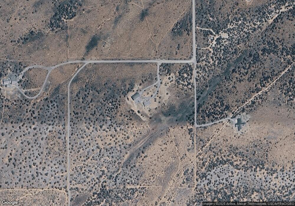
Map
Nearby Homes
- 23835 V66 Trail
- TBD Government Springs Rd
- 830 Tiyoweh Trail
- TBD Highway 550
- TBD Old Hwy 90
- TBD Highway 90
- TBD Solar Rd
- TBD 6300 Rd
- 999 Coral Bell Dr
- TBD Cotton Ln
- 277 Cotton Ln
- 1917 County Road 22
- 23855 Horsefly Rd
- 67864 and 67918 Wildcat Trail
- 22465 Horsefly Rd
- 255 Melody Ln
- TBD Buckhorn Rd
- 235 Cactus Place
- Lot 4 County Road 22
- Lot 6 County Road 22
- 24042 V66 Trail
- 24004 V 66 Trail
- TBD V66 Trail
- 24150 V 66 Trail
- 23982 V 66 Trail
- 23982 V66 Trail
- V 66 Trail
- V 66 Trail Unit 2 homes
- V 66 Trail Unit and 23825 v66 trai
- 23786 V 66 Trail
- 23825 V 66 Trail
- 23825 V66 Trail
- 23825 V66 Trail
- 23817 V66 Trail
- 23833 V 66 Trail
- 23791 V 66 Trail
- 23847 V 66 Trail
- 23664 V66 Trail
- 23544 V 66 Trail
- 23993 Government Springs Rd