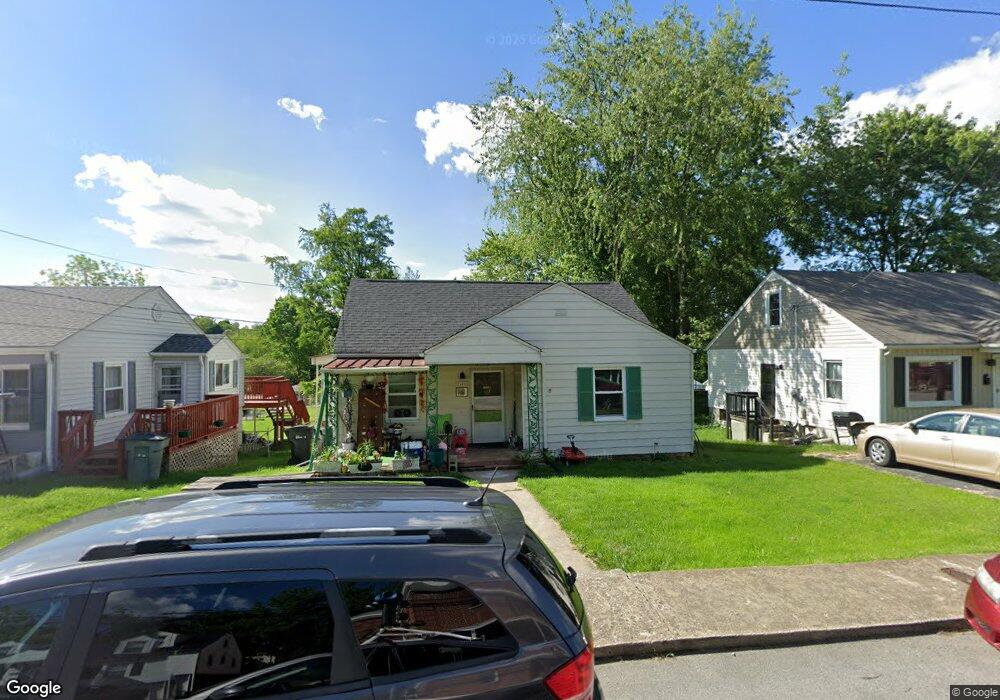
2405 Broad St Bristol, TN 37620
Estimated Value: $75,000 - $161,000
3
Beds
1
Bath
1,542
Sq Ft
$83/Sq Ft
Est. Value
About This Home
This home is located at 2405 Broad St, Bristol, TN 37620 and is currently estimated at $128,650, approximately $83 per square foot. 2405 Broad St is a home located in Sullivan County with nearby schools including Anderson Elementary School, Vance Middle School, and Tennessee High School.
Ownership History
Date
Name
Owned For
Owner Type
Purchase Details
Closed on
Jan 9, 2003
Sold by
Grady Chafin and Grady Janice
Bought by
Franklin Elizabeth A
Current Estimated Value
Home Financials for this Owner
Home Financials are based on the most recent Mortgage that was taken out on this home.
Original Mortgage
$34,400
Interest Rate
6.01%
Purchase Details
Closed on
Jun 3, 1998
Sold by
Dye Thomas D
Bought by
Grady Chafin
Purchase Details
Closed on
Jun 1, 1998
Create a Home Valuation Report for This Property
The Home Valuation Report is an in-depth analysis detailing your home's value as well as a comparison with similar homes in the area
Home Values in the Area
Average Home Value in this Area
Purchase History
| Date | Buyer | Sale Price | Title Company |
|---|---|---|---|
| Franklin Elizabeth A | $43,000 | -- | |
| Grady Chafin | $39,375 | -- | |
| -- | $39,400 | -- |
Source: Public Records
Mortgage History
| Date | Status | Borrower | Loan Amount |
|---|---|---|---|
| Closed | -- | $34,400 |
Source: Public Records
Tax History Compared to Growth
Tax History
| Year | Tax Paid | Tax Assessment Tax Assessment Total Assessment is a certain percentage of the fair market value that is determined by local assessors to be the total taxable value of land and additions on the property. | Land | Improvement |
|---|---|---|---|---|
| 2024 | -- | $18,850 | $1,650 | $17,200 |
| 2023 | $828 | $18,850 | $1,650 | $17,200 |
| 2022 | $828 | $18,850 | $1,650 | $17,200 |
| 2021 | $828 | $18,850 | $1,650 | $17,200 |
| 2020 | $832 | $18,850 | $1,650 | $17,200 |
| 2019 | $832 | $17,575 | $1,650 | $15,925 |
| 2018 | $828 | $17,575 | $1,650 | $15,925 |
| 2017 | $828 | $17,575 | $1,650 | $15,925 |
| 2016 | $770 | $15,975 | $1,650 | $14,325 |
| 2014 | $727 | $15,968 | $0 | $0 |
Source: Public Records
Map
Nearby Homes
- 2228 Bay St
- 1901 Anderson St
- 1614 Broad St
- 000 Hemlock Dr
- 2000 Euclid Ave
- Tbd Clifton Rd
- 2400 Bradley St
- 2412,14,16 Bradley St
- 2461 Bradley St
- 2241 Bradley St
- 60 Peters St
- 1057 Moorland Ave
- 2121 2123 Randolph St
- 2413 Catherine St
- 1224 Shelby St
- 113 Neal Dr
- 1227 Shelby St
- 548 Floyd St
- 311 12th St
- 460 Vance St