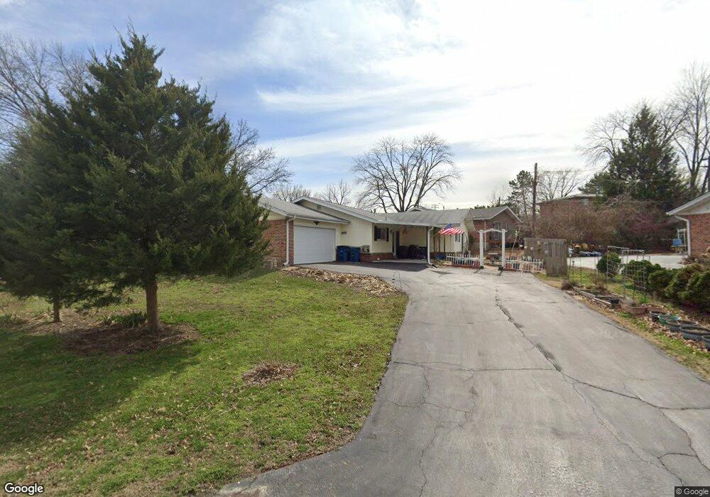
2405 Canter Way Saint Louis, MO 63114
Estimated Value: $260,228 - $333,000
4
Beds
2
Baths
1,919
Sq Ft
$153/Sq Ft
Est. Value
About This Home
This home is located at 2405 Canter Way, Saint Louis, MO 63114 and is currently estimated at $294,557, approximately $153 per square foot. 2405 Canter Way is a home located in St. Louis County with nearby schools including Marion Elementary School, Ritenour Middle School, and Ritenour Senior High School.
Ownership History
Date
Name
Owned For
Owner Type
Purchase Details
Closed on
Oct 15, 2015
Sold by
Sieveking Antoinette B
Bought by
Wesche Daryl R and Wesche Julia L
Current Estimated Value
Home Financials for this Owner
Home Financials are based on the most recent Mortgage that was taken out on this home.
Original Mortgage
$120,800
Outstanding Balance
$49,100
Interest Rate
3.93%
Mortgage Type
New Conventional
Estimated Equity
$245,457
Purchase Details
Closed on
Nov 3, 2004
Sold by
Sieveking Antoinette B
Bought by
Sieveking Antoinette B and Antoinette B Sieveking Revocable Living
Create a Home Valuation Report for This Property
The Home Valuation Report is an in-depth analysis detailing your home's value as well as a comparison with similar homes in the area
Home Values in the Area
Average Home Value in this Area
Purchase History
| Date | Buyer | Sale Price | Title Company |
|---|---|---|---|
| Wesche Daryl R | $151,000 | Investors Title Co Clayton | |
| Sieveking Antoinette B | -- | -- |
Source: Public Records
Mortgage History
| Date | Status | Borrower | Loan Amount |
|---|---|---|---|
| Open | Wesche Daryl R | $120,800 |
Source: Public Records
Tax History Compared to Growth
Tax History
| Year | Tax Paid | Tax Assessment Tax Assessment Total Assessment is a certain percentage of the fair market value that is determined by local assessors to be the total taxable value of land and additions on the property. | Land | Improvement |
|---|---|---|---|---|
| 2025 | $3,574 | $46,750 | $9,410 | $37,340 |
| 2024 | $3,574 | $41,920 | $3,880 | $38,040 |
| 2023 | $3,574 | $41,920 | $3,880 | $38,040 |
| 2022 | $3,259 | $34,290 | $5,640 | $28,650 |
| 2021 | $3,259 | $34,290 | $5,640 | $28,650 |
| 2020 | $3,162 | $30,690 | $4,180 | $26,510 |
| 2019 | $3,127 | $30,690 | $4,180 | $26,510 |
| 2018 | $3,156 | $27,890 | $3,760 | $24,130 |
| 2017 | $3,009 | $27,890 | $3,760 | $24,130 |
| 2016 | $3,202 | $30,270 | $3,040 | $27,230 |
| 2015 | $3,277 | $30,270 | $3,040 | $27,230 |
| 2014 | $2,830 | $26,550 | $2,700 | $23,850 |
Source: Public Records
Map
Nearby Homes
- 10267 Niblic Dr
- 2436 Pinehurst Dr
- 10111 Niblic Dr
- 10107 Niblic Dr
- 2432 Chaucer Ave
- 10222 Driver Ave
- 10235 Midland Blvd
- 10471 Canter Way
- 10110 Lackland Rd
- 10490 Canter Way
- 10406 Driver Ave
- 1923 Clare Ct
- 10416 Lackland Rd
- 2412 Silkwood Dr
- 10432 Driver Ave
- 2242 Huntington Ave
- 1735 O Connell Ave
- 10411 Maddox Place
- 2321 Dawes Place
- 2527 Leslie Ave
- 10204 Whitlock Dr
- 2401 Canter Way
- 2408 Canter Way
- 2409 Canter Way
- 10143 Pinehurst Dr
- 10208 Whitlock Dr
- 10215 Canter Way
- 10205 Whitlock Dr
- 2412 Canter Way
- 2400 Sunnybrook Dr
- 10144 Pinehurst Dr
- 2416 Canter Way
- 10212 Whitlock Dr
- 10135 Pinehurst Dr
- 2413 Canter Way
- 10125 Pinehurst Dr
- 10121 Pinehurst Dr
- 10295 Chaucer Ave
- 2404 Sunnybrook Dr
- 2420 Canter Way