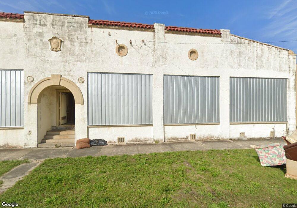
2406 N Liberty St Jacksonville, FL 32206
Springfield NeighborhoodEstimated Value: $322,508
--
Bed
5
Baths
9,970
Sq Ft
$32/Sq Ft
Est. Value
About This Home
This home is located at 2406 N Liberty St, Jacksonville, FL 32206 and is currently estimated at $322,508, approximately $32 per square foot. 2406 N Liberty St is a home located in Duval County with nearby schools including Andrew A. Robinson Elementary School, Matthew W. Gilbert Middle School, and William M. Raines High School.
Ownership History
Date
Name
Owned For
Owner Type
Purchase Details
Closed on
Sep 29, 2014
Sold by
Morris John Ed and Cenci Michael A
Bought by
Grant Dooley John
Current Estimated Value
Purchase Details
Closed on
Dec 13, 2005
Sold by
Thomas Robert D and Cummings Clyde T
Bought by
Morris John Ed and Cenci Michael A
Purchase Details
Closed on
May 1, 2003
Sold by
Robinson Jack H
Bought by
Cummings Clyde Tison and Thomas Robert Demar
Home Financials for this Owner
Home Financials are based on the most recent Mortgage that was taken out on this home.
Original Mortgage
$79,000
Interest Rate
8%
Mortgage Type
Seller Take Back
Purchase Details
Closed on
Feb 17, 1998
Sold by
Moskovitz Leo and Bierman Barbara
Bought by
Robinson Jack
Create a Home Valuation Report for This Property
The Home Valuation Report is an in-depth analysis detailing your home's value as well as a comparison with similar homes in the area
Home Values in the Area
Average Home Value in this Area
Purchase History
| Date | Buyer | Sale Price | Title Company |
|---|---|---|---|
| Grant Dooley John | $135,000 | All Florida Title Svcs Inc | |
| Morris John Ed | -- | None Available | |
| Cummings Clyde Tison | $79,000 | -- | |
| Robinson Jack | $35,000 | -- |
Source: Public Records
Mortgage History
| Date | Status | Borrower | Loan Amount |
|---|---|---|---|
| Previous Owner | Cummings Clyde Tison | $79,000 |
Source: Public Records
Tax History Compared to Growth
Tax History
| Year | Tax Paid | Tax Assessment Tax Assessment Total Assessment is a certain percentage of the fair market value that is determined by local assessors to be the total taxable value of land and additions on the property. | Land | Improvement |
|---|---|---|---|---|
| 2025 | $2,444 | $125,947 | $15,027 | $110,920 |
| 2024 | $2,520 | $125,947 | $15,027 | $110,920 |
| 2023 | $2,520 | $132,321 | $12,522 | $119,799 |
| 2022 | $2,175 | $116,348 | $12,522 | $103,826 |
| 2021 | $2,072 | $107,347 | $12,522 | $94,825 |
| 2020 | $2,028 | $103,175 | $12,522 | $90,653 |
| 2019 | $2,115 | $106,560 | $12,522 | $94,038 |
| 2018 | $2,164 | $108,349 | $12,522 | $95,827 |
| 2017 | $2,231 | $110,770 | $12,522 | $98,248 |
| 2016 | $2,248 | $109,730 | $0 | $0 |
| 2015 | $2,429 | $117,400 | $0 | $0 |
| 2014 | $1,938 | $90,424 | $0 | $0 |
Source: Public Records
Map
Nearby Homes
- 0 E 15th St
- 249 E 15th St
- 110 E 15th St
- 2622 N Market St
- 218 E 18th St
- 2068 Redwing + (2 Unit Duplex) St
- 231 E 18th St
- 225 E 18th St
- 333 E 18th St
- 230 E 19th St
- 25 E 16th St
- 19 E 16th St
- 2724 Hubbard St
- 2903 Hubbard St
- 2002 N Liberty St
- 30 W 12th St
- 1936 N Market St
- 1954 Hubbard St
- 419 Springfield Ct N
- 32 E 10th St