24060 Saint Michaels Rd Saint Michaels, MD 21663
Estimated Value: $2,285,000 - $5,070,000
--
Bed
5
Baths
4,716
Sq Ft
$787/Sq Ft
Est. Value
About This Home
This home is located at 24060 Saint Michaels Rd, Saint Michaels, MD 21663 and is currently estimated at $3,712,753, approximately $787 per square foot. 24060 Saint Michaels Rd is a home located in Talbot County with nearby schools including St. Michaels Elementary School, St. Michaels Middle/High School, and Easton High School.
Ownership History
Date
Name
Owned For
Owner Type
Purchase Details
Closed on
Apr 20, 2023
Sold by
Epstein Larry David
Bought by
Larry David Epstein Revocable Trust and Leeann Epstein Revocable Trust
Current Estimated Value
Purchase Details
Closed on
Nov 5, 2010
Sold by
Epstein Larry David
Bought by
Epstein Larry David and Epstein Leeann
Purchase Details
Closed on
Nov 4, 1994
Sold by
Schwartz Donald A and Schwartz Carol V
Bought by
Epstein Larry David
Create a Home Valuation Report for This Property
The Home Valuation Report is an in-depth analysis detailing your home's value as well as a comparison with similar homes in the area
Home Values in the Area
Average Home Value in this Area
Purchase History
| Date | Buyer | Sale Price | Title Company |
|---|---|---|---|
| Larry David Epstein Revocable Trust | -- | None Listed On Document | |
| Larry David Epstein Revocable Trust | -- | None Listed On Document | |
| Epstein Larry David | -- | -- | |
| Epstein Larry David | $1,400,000 | -- |
Source: Public Records
Tax History Compared to Growth
Tax History
| Year | Tax Paid | Tax Assessment Tax Assessment Total Assessment is a certain percentage of the fair market value that is determined by local assessors to be the total taxable value of land and additions on the property. | Land | Improvement |
|---|---|---|---|---|
| 2025 | $11,785 | $2,386,400 | $1,242,600 | $1,143,800 |
| 2024 | $11,785 | $2,263,367 | $0 | $0 |
| 2023 | $6,081 | $1,657,967 | $0 | $0 |
| 2022 | $5,638 | $1,529,200 | $990,600 | $538,600 |
| 2021 | $5,286 | $1,487,267 | $0 | $0 |
| 2020 | $5,286 | $1,445,333 | $0 | $0 |
| 2019 | $5,235 | $1,403,400 | $864,600 | $538,800 |
| 2018 | $5,096 | $1,403,400 | $864,600 | $538,800 |
| 2017 | $4,897 | $1,403,400 | $0 | $0 |
| 2016 | $4,285 | $1,555,800 | $0 | $0 |
| 2015 | $5,520 | $1,555,800 | $0 | $0 |
| 2014 | $5,520 | $1,555,800 | $0 | $0 |
Source: Public Records
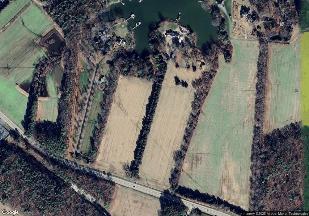
Map
Nearby Homes
- 9791 Pintail Place
- 9545 Quail Hollow Dr Unit 205
- 24362 Widgeon Place Unit 4
- 24420 Mallard Place
- 9171 Deepwater Point Rd
- 24749 Swan Rd
- 0 Bozman Neavitt Rd Unit MDTA2011976
- 216 Brooks Ln
- 300 Perry St
- 209 Webb Ln
- 408 Spinnaker Ln
- 207 Dodson Ave
- 9681 Macks Ln
- 102 Gloria Ave
- 9262 Macks Ln
- 25500 Chance Farm Rd
- 8620 Bozman Neavitt Rd
- 100 Grace St
- 0 Grace St Unit MDTA2012346
- 107 E Chestnut St
- 24000 Saint Michaels Rd
- 9566 Old Martingham Rd
- LOT 1 Melanie Dr
- 0 Lot 1 - Melanie Dr Unit 1000049501
- 24035 N Porters Creek Ln
- 24035 N Porters Creek Ln
- 25828 St Michaels Rd
- 26256 St Michaels Rd
- 23996 Saint Michaels Rd
- 24029 N Porters Creek Ln
- 24047 N Porters Creek Ln
- LOT 2 Melanie Dr
- 24019 N Porters Creek Ln
- 0 Lot 2 - Melanie Dr Unit 1000049537
- 24079 N Porters Creek Ln
- 9581 Old Martingham Rd
- 24079 Porters Creek Rd
- 24030 N Porters Creek Ln
- 24050 N Porters Creek Ln
- 24010 N Porters Creek Ln