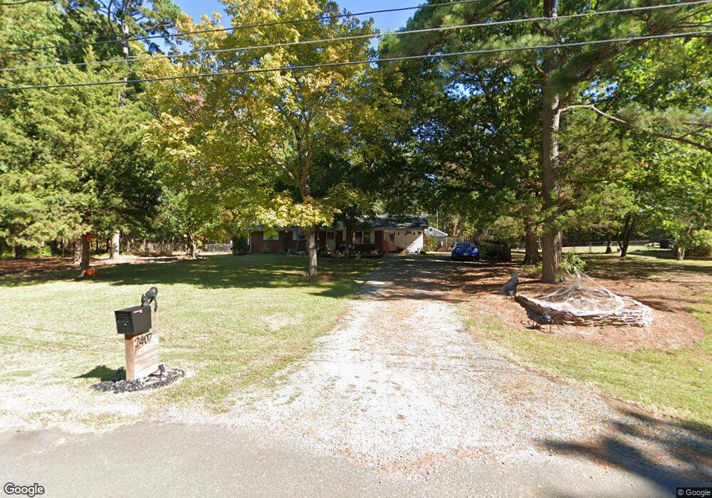
2407 Bonnie Brae Rd Durham, NC 27703
Estimated Value: $313,109 - $368,000
3
Beds
2
Baths
1,376
Sq Ft
$241/Sq Ft
Est. Value
About This Home
This home is located at 2407 Bonnie Brae Rd, Durham, NC 27703 and is currently estimated at $332,277, approximately $241 per square foot. 2407 Bonnie Brae Rd is a home located in Durham County with nearby schools including Bethesda Elementary School, John W Neal Middle School, and Southern School of Energy & Sustainability.
Ownership History
Date
Name
Owned For
Owner Type
Purchase Details
Closed on
Aug 18, 2006
Sold by
Hackney Jerry Kent and Hackney Brenda Cash
Bought by
Hackney Lori D
Current Estimated Value
Home Financials for this Owner
Home Financials are based on the most recent Mortgage that was taken out on this home.
Original Mortgage
$83,000
Interest Rate
6.71%
Mortgage Type
Purchase Money Mortgage
Purchase Details
Closed on
Feb 4, 2000
Sold by
Sanders Kenneth E and Sanders Floy A
Bought by
Long Peggy L
Create a Home Valuation Report for This Property
The Home Valuation Report is an in-depth analysis detailing your home's value as well as a comparison with similar homes in the area
Home Values in the Area
Average Home Value in this Area
Purchase History
| Date | Buyer | Sale Price | Title Company |
|---|---|---|---|
| Hackney Lori D | $93,000 | None Available | |
| Long Peggy L | $125,000 | -- |
Source: Public Records
Mortgage History
| Date | Status | Borrower | Loan Amount |
|---|---|---|---|
| Closed | Hackney Lori D | $83,000 |
Source: Public Records
Tax History Compared to Growth
Tax History
| Year | Tax Paid | Tax Assessment Tax Assessment Total Assessment is a certain percentage of the fair market value that is determined by local assessors to be the total taxable value of land and additions on the property. | Land | Improvement |
|---|---|---|---|---|
| 2025 | $3,595 | $362,615 | $149,250 | $213,365 |
| 2024 | $2,330 | $167,015 | $39,840 | $127,175 |
| 2023 | $2,188 | $167,015 | $39,840 | $127,175 |
| 2022 | $2,138 | $167,015 | $39,840 | $127,175 |
| 2021 | $2,128 | $167,015 | $39,840 | $127,175 |
| 2020 | $2,078 | $167,015 | $39,840 | $127,175 |
| 2019 | $2,078 | $167,015 | $39,840 | $127,175 |
| 2018 | $2,174 | $160,234 | $44,820 | $115,414 |
| 2017 | $2,158 | $160,234 | $44,820 | $115,414 |
| 2016 | $2,085 | $160,234 | $44,820 | $115,414 |
| 2015 | $2,213 | $159,877 | $43,274 | $116,603 |
| 2014 | $2,213 | $159,877 | $43,274 | $116,603 |
Source: Public Records
Map
Nearby Homes
- 111 Lang St
- 4539 Cottendale Dr
- 5014 Rolling Meadows Dr
- 910 Wood Chapel Ln
- 3602 Appling Way
- 3610 Long Ridge Rd
- 2701 Skybrook Ln
- 1018 Flyfish Ave
- 4613 Angier Ave
- 2811 Skybrook Ln
- 2709 Hamilton Green Dr
- 2409 Rolling Pines Ave
- 4300 Angier Ave
- 2217 S Miami Blvd
- 1931 Hinesley Dr
- 1929 Hinesley Dr
- 1941 Hinesley Dr
- 1937 Hinesley Dr
- 1933 Hinesley Dr
- 1939 Hinesley Dr
- 2411 Bonnie Brae Rd
- 2417 Bonnie Brae Rd
- 2400 Bonnie Brae Rd
- 4440 Holloman Rd
- 4504 Holloman Rd
- 2416 Bonnie Brae Rd
- 7 Mayflower Ct
- 5 Mayflower Ct
- 2421 Bonnie Brae Rd
- 8 Mayflower Ct
- 4508 Holloman Rd
- 2402 Windy Hill Rd
- 4337,4407, Holloman Rd
- 0 Holloman Rd Unit 1776343
- 0 Holloman Rd Unit 162 TR1776343
- 0 Holloman Rd Unit 162
- 4337,4407,4411 Holloman Rd Unit 162
- 4473 Holloman Rd
- 4426 Holloman Rd
- 3 Mayflower Ct