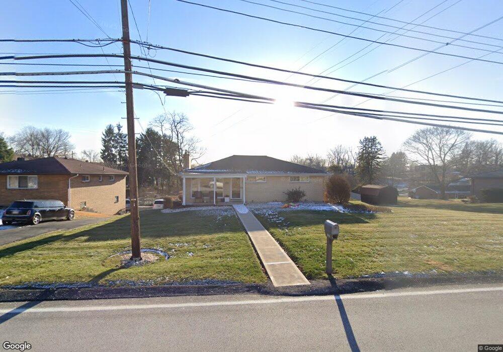
2407 Saunders Station Rd Monroeville, PA 15146
Estimated Value: $283,536 - $315,000
3
Beds
3
Baths
1,400
Sq Ft
$214/Sq Ft
Est. Value
About This Home
This home is located at 2407 Saunders Station Rd, Monroeville, PA 15146 and is currently estimated at $299,634, approximately $214 per square foot. 2407 Saunders Station Rd is a home located in Allegheny County with nearby schools including Gateway High School and Divine Mercy Academy.
Ownership History
Date
Name
Owned For
Owner Type
Purchase Details
Closed on
Apr 26, 2010
Sold by
Reese Dianna M and Reese Steven D
Bought by
Dirling Melissa E and Dirling Todd A
Current Estimated Value
Home Financials for this Owner
Home Financials are based on the most recent Mortgage that was taken out on this home.
Original Mortgage
$164,465
Interest Rate
5.5%
Mortgage Type
FHA
Purchase Details
Closed on
Jun 21, 2001
Sold by
Camerieri Carol
Bought by
Reese Steven D and Reese Dianna M
Create a Home Valuation Report for This Property
The Home Valuation Report is an in-depth analysis detailing your home's value as well as a comparison with similar homes in the area
Home Values in the Area
Average Home Value in this Area
Purchase History
| Date | Buyer | Sale Price | Title Company |
|---|---|---|---|
| Dirling Melissa E | $167,500 | -- | |
| Reese Steven D | $70,000 | -- |
Source: Public Records
Mortgage History
| Date | Status | Borrower | Loan Amount |
|---|---|---|---|
| Previous Owner | Dirling Melissa E | $164,465 |
Source: Public Records
Tax History
| Year | Tax Paid | Tax Assessment Tax Assessment Total Assessment is a certain percentage of the fair market value that is determined by local assessors to be the total taxable value of land and additions on the property. | Land | Improvement |
|---|---|---|---|---|
| 2025 | $4,293 | $135,900 | $30,200 | $105,700 |
| 2024 | $4,293 | $135,900 | $30,200 | $105,700 |
| 2023 | $4,051 | $132,900 | $30,200 | $102,700 |
| 2022 | $3,937 | $132,900 | $30,200 | $102,700 |
| 2021 | $629 | $132,900 | $30,200 | $102,700 |
| 2020 | $3,801 | $132,900 | $30,200 | $102,700 |
| 2019 | $3,801 | $132,900 | $30,200 | $102,700 |
| 2017 | $3,729 | $132,900 | $30,200 | $102,700 |
Source: Public Records
Map
Nearby Homes
- 1230 Northwestern Dr
- 1237 Catalina Dr
- 1342 Woodcliffe Dr
- 1185 Bucknell Dr
- 1226 Harvest Dr
- 0 Harvard Rd
- 1115 Harvard Rd
- 113 Leslie Rd
- 117 Bel Aire Dr
- 228 Berkeley Way
- 401 Spring Run Dr Unit 401
- 317 Alpine Village Dr
- 117 Mayberry Dr
- 2047 Haymaker Rd
- 233 Saunders Station Rd
- 4660 Old William Penn Hwy
- 223 Victoria Dr
- 335 Red Oak Ct
- - Old Ramsey Rd
- 320 Penn Lear Ct
- 2405 Saunders Station Rd
- 2411 Saunders Station Rd
- 2403 Saunders Station Rd
- 2406 Saunders Station Rd
- 1304 Woodland Dr
- 2401 Saunders Station Rd
- 2404 Saunders Station Rd
- 2413 Saunders Station Rd
- 1315 Hillsdale Dr
- 1306 Woodland Dr
- 2408 Saunders Station Rd
- 2415 Saunders Station Rd
- 1308 Woodland Dr
- 1323 Hillsdale Dr
- 2389 Saunders Station Rd
- 1311 Hillsdale Dr
- 2400 Saunders Station Rd
- 1303 Woodland Dr
- 1316 Hillsdale Dr
- 1305 Woodland Dr
Your Personal Tour Guide
Ask me questions while you tour the home.