2408 Mowbray Pike Soddy Daisy, TN 37379
Estimated Value: $338,000 - $393,000
2
Beds
2
Baths
1,250
Sq Ft
$286/Sq Ft
Est. Value
About This Home
This home is located at 2408 Mowbray Pike, Soddy Daisy, TN 37379 and is currently estimated at $357,890, approximately $286 per square foot. 2408 Mowbray Pike is a home located in Hamilton County.
Ownership History
Date
Name
Owned For
Owner Type
Purchase Details
Closed on
Jan 19, 1999
Sold by
Floyd Donald and Floyd Connie D
Bought by
Smith Barbara Clements
Current Estimated Value
Purchase Details
Closed on
Jan 18, 1999
Sold by
Floyd Donald and Floyd Connie D
Bought by
Floyd Ricky Alan and Floyd Summer Ashley
Purchase Details
Closed on
Jul 1, 1998
Sold by
Smith Barbara and Clements Barbara
Bought by
Floyd Donald and Floyd Connie D
Home Financials for this Owner
Home Financials are based on the most recent Mortgage that was taken out on this home.
Original Mortgage
$50,538
Interest Rate
7.04%
Mortgage Type
Stand Alone Second
Create a Home Valuation Report for This Property
The Home Valuation Report is an in-depth analysis detailing your home's value as well as a comparison with similar homes in the area
Home Values in the Area
Average Home Value in this Area
Purchase History
| Date | Buyer | Sale Price | Title Company |
|---|---|---|---|
| Smith Barbara Clements | -- | -- | |
| Floyd Ricky Alan | -- | -- | |
| Floyd Donald | -- | -- |
Source: Public Records
Mortgage History
| Date | Status | Borrower | Loan Amount |
|---|---|---|---|
| Previous Owner | Floyd Donald | $50,538 |
Source: Public Records
Tax History Compared to Growth
Tax History
| Year | Tax Paid | Tax Assessment Tax Assessment Total Assessment is a certain percentage of the fair market value that is determined by local assessors to be the total taxable value of land and additions on the property. | Land | Improvement |
|---|---|---|---|---|
| 2024 | $1,290 | $57,650 | $0 | $0 |
| 2023 | $1,290 | $57,650 | $0 | $0 |
| 2022 | $1,290 | $57,650 | $0 | $0 |
| 2021 | $1,290 | $57,650 | $0 | $0 |
| 2020 | $1,326 | $47,950 | $0 | $0 |
| 2019 | $1,326 | $47,950 | $0 | $0 |
| 2018 | $1,326 | $47,950 | $0 | $0 |
| 2017 | $1,326 | $47,950 | $0 | $0 |
| 2016 | $1,260 | $0 | $0 | $0 |
| 2015 | $1,260 | $45,550 | $0 | $0 |
| 2014 | $1,260 | $0 | $0 | $0 |
Source: Public Records
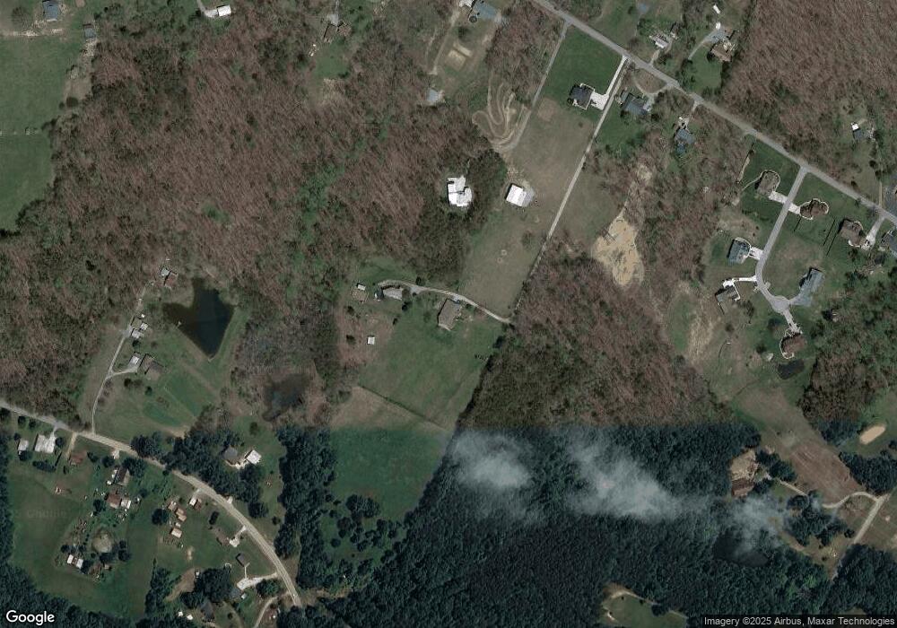
Map
Nearby Homes
- 10600 Skyridge Trail
- 3075 Poe Rd
- 2772 Mowbray Pike
- 2796 Mowbray Pike
- 2664 Mowbray Pike
- 2748 Mowbray Pike
- 2419 Welch Rd
- 9844 Granny Walker Cemetery Rd
- 9963 Huckleberry Ln
- 3069 Poe Rd
- 3087 Poe Rd
- 3086 Poe Rd
- 9963 Huckelberry Ln
- 00000 Worley Rd
- 00 Worley Rd
- 100 Henson Gap Rd
- 112 Henson Gap Rd
- 0 Worley Rd Unit RTC2943298
- 0 Worley Rd Unit RTC2943290
- 0 Worley Rd Unit 1516868
- 2410 Mowbray Pike
- 2425 Poe Rd
- 10347 Logstone Ln
- 2418 Mowbray Pike
- 2406 Mowbray Pike
- 10363 Logstone Ln
- 2424 Mowbray Pike
- 2402 Mowbray Pike
- 2336 Mowbray Pike
- 2437 Poe Rd
- 2438 Mowbray Pike
- 2428 Mowbray Pike
- 10370 Logstone Ln
- 10205 Sims Rd
- 10333 Logstone Ln
- 2418 Poe Rd
- 10391 Logstone Ln
- 2412 Poe Rd
- 2468 Poe Rd
- 10328 Logstone Ln