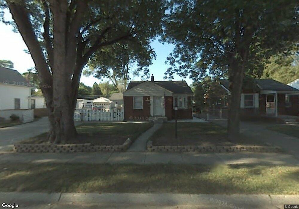
24085 Andover Dr Dearborn Heights, MI 48125
Estimated Value: $154,000 - $190,333
2
Beds
2
Baths
809
Sq Ft
$215/Sq Ft
Est. Value
About This Home
This home is located at 24085 Andover Dr, Dearborn Heights, MI 48125 and is currently estimated at $173,583, approximately $214 per square foot. 24085 Andover Dr is a home located in Wayne County with nearby schools including West Village Academy.
Ownership History
Date
Name
Owned For
Owner Type
Purchase Details
Closed on
Mar 21, 2013
Sold by
Bolin David L and Bolin David
Bought by
Bolin David L
Current Estimated Value
Purchase Details
Closed on
Sep 28, 2012
Sold by
Bolin Yuliya Petrovna
Bought by
Bolin David
Purchase Details
Closed on
Dec 16, 2005
Sold by
Anderson Richard C and Anderson Maureen Alice
Bought by
Bolin David L
Purchase Details
Closed on
May 5, 2004
Sold by
Isaac Linda L
Bought by
Wachovia Bank Na and Long Beach Mortgage Trust 2002-2
Purchase Details
Closed on
Aug 21, 1998
Sold by
Vicki Sallie and Vicki Allie M
Bought by
Lisaac Linda
Create a Home Valuation Report for This Property
The Home Valuation Report is an in-depth analysis detailing your home's value as well as a comparison with similar homes in the area
Home Values in the Area
Average Home Value in this Area
Purchase History
| Date | Buyer | Sale Price | Title Company |
|---|---|---|---|
| Bolin David L | -- | None Available | |
| Bolin David | -- | None Available | |
| Bolin David L | $119,000 | Multiple | |
| Wachovia Bank Na | $142,469 | -- | |
| Lisaac Linda | $89,900 | -- |
Source: Public Records
Tax History Compared to Growth
Tax History
| Year | Tax Paid | Tax Assessment Tax Assessment Total Assessment is a certain percentage of the fair market value that is determined by local assessors to be the total taxable value of land and additions on the property. | Land | Improvement |
|---|---|---|---|---|
| 2025 | $1,714 | $97,200 | $0 | $0 |
| 2024 | $1,714 | $78,900 | $0 | $0 |
| 2023 | $1,540 | $67,800 | $0 | $0 |
| 2022 | $2,091 | $57,700 | $0 | $0 |
| 2021 | $2,092 | $51,500 | $0 | $0 |
| 2019 | $1,906 | $40,800 | $0 | $0 |
| 2018 | $1,333 | $41,000 | $0 | $0 |
| 2017 | $1,048 | $39,600 | $0 | $0 |
| 2016 | $1,812 | $40,100 | $0 | $0 |
| 2015 | $3,740 | $37,400 | $0 | $0 |
| 2013 | $4,010 | $41,300 | $0 | $0 |
| 2010 | -- | $38,000 | $0 | $0 |
Source: Public Records
Map
Nearby Homes
- 3841 Westpoint St
- 24337 Ross St
- 4193 Cornell St
- 24409 Stanford St
- 24313 Carlysle St
- 24426 Lehigh St
- 4155 Syracuse St
- 4489 Westpoint St
- 4474 Syracuse St
- 24635 Stanford St
- 3925 Madison St
- 4506 Syracuse St
- 3604 Syracuse St
- 24800 Dartmouth St
- 24716 Ross St
- 24117 Eton Ave
- 3425 Westpoint St
- 4665 Syracuse St
- 24440 Penn St
- 24339 Eton Ave
- 24057 Andover Dr
- 24056 Colgate St
- 24099 Andover Dr
- 24064 Colgate St
- 24040 Colgate St
- 24029 Andover Dr
- 24072 Colgate St
- 24113 Andover Dr
- 24024 Colgate St
- 24080 Colgate St
- VAC Andover
- 24127 Andover Dr
- 24088 Colgate St
- 24141 Andover Dr
- 24096 Colgate St
- 24072 Andover Dr
- 24058 Andover Dr
- 24086 Andover Dr
- 24044 Andover Dr
- 24100 Andover Dr