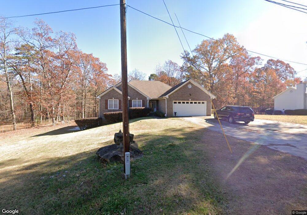
2409 Bethune Cir Morrow, GA 30260
Estimated Value: $244,000 - $310,000
3
Beds
2
Baths
1,708
Sq Ft
$158/Sq Ft
Est. Value
About This Home
This home is located at 2409 Bethune Cir, Morrow, GA 30260 and is currently estimated at $270,071, approximately $158 per square foot. 2409 Bethune Cir is a home located in Clayton County with nearby schools including Thurgood Marshall Elementary School, Morrow Middle School, and Morrow High School.
Ownership History
Date
Name
Owned For
Owner Type
Purchase Details
Closed on
Oct 15, 2004
Sold by
Scott Theodore
Bought by
Theoro Ents Inc
Current Estimated Value
Purchase Details
Closed on
Jan 15, 2004
Sold by
Theodore Ents Inc
Bought by
Jacks Lindsey W and Jacks Cheryl
Home Financials for this Owner
Home Financials are based on the most recent Mortgage that was taken out on this home.
Original Mortgage
$150,000
Interest Rate
5.65%
Mortgage Type
New Conventional
Create a Home Valuation Report for This Property
The Home Valuation Report is an in-depth analysis detailing your home's value as well as a comparison with similar homes in the area
Purchase History
| Date | Buyer | Sale Price | Title Company |
|---|---|---|---|
| Theoro Ents Inc | -- | -- | |
| Jacks Lindsey W | $163,500 | -- |
Source: Public Records
Mortgage History
| Date | Status | Borrower | Loan Amount |
|---|---|---|---|
| Previous Owner | Jacks Lindsey W | $150,000 |
Source: Public Records
Tax History
| Year | Tax Paid | Tax Assessment Tax Assessment Total Assessment is a certain percentage of the fair market value that is determined by local assessors to be the total taxable value of land and additions on the property. | Land | Improvement |
|---|---|---|---|---|
| 2025 | $2,149 | $122,880 | $4,000 | $118,880 |
| 2024 | $2,121 | $117,240 | $4,000 | $113,240 |
| 2023 | $3,956 | $109,560 | $4,000 | $105,560 |
| 2022 | $1,327 | $76,960 | $4,000 | $72,960 |
| 2021 | $851 | $51,640 | $4,000 | $47,640 |
| 2020 | $816 | $48,884 | $4,000 | $44,884 |
| 2019 | $757 | $44,890 | $3,600 | $41,290 |
| 2018 | $664 | $40,336 | $3,600 | $36,736 |
| 2017 | $654 | $38,478 | $3,600 | $34,878 |
| 2016 | $643 | $37,958 | $3,600 | $34,358 |
| 2015 | $629 | $0 | $0 | $0 |
| 2014 | $553 | $35,900 | $3,600 | $32,300 |
Source: Public Records
Map
Nearby Homes
- 0 Poplar Ave Unit 10481115
- 0 Poplar Ave Unit 7543163
- 2510 Brenston Dr
- 5778 Northfield Dr
- 2247 Cypress Ave
- 5774 Springfield Place Unit 2
- 0 Denson Blvd Unit 1527338
- 2540 Hartford Dr
- 517 Brenston Ct
- 2316 Santa fe St Unit 5
- 2276 Santa fe St Unit 19
- 2272 Santa fe St Unit 21
- 2271 Santa fe St Unit 23
- 2635 Luke Dr
- 2346 Sapphire Ct
- 5356 Creekview Way
- 5372 Bryant Blvd
- 5549 Highway 42
- 0 Herndon Blvd Unit 10625476
- 0 Herndon Blvd Unit 7686770
- 2057 Bethune Cir
- 2401 Bethune Cir
- 2399 Bethune Cir
- 2372 Oak Ave
- 2412 Bethune Cir
- 2440 Bethune Cir
- 2395 Bethune Cir
- 2354 Poplar St
- 2358 Oak Ave
- 2351 Maple Ave
- 2384 Maple Ave
- 2340 Poplar St
- 2360 Maple Ave
- 2344 Oak Ave
- 2339 Maple Ave
- 2325 Oak Ave
- 2345 Poplar St
- 2344 Maple Ave
- 5583 Sapphire Cir
- LOT 1, OAK AVE Oak Ave
Your Personal Tour Guide
Ask me questions while you tour the home.