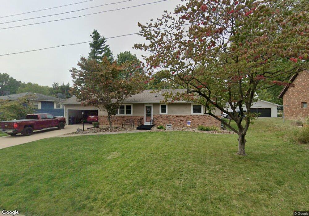
2409 Dehn St Burlington, IA 52601
Estimated Value: $171,000 - $201,000
3
Beds
2
Baths
1,232
Sq Ft
$151/Sq Ft
Est. Value
About This Home
This home is located at 2409 Dehn St, Burlington, IA 52601 and is currently estimated at $185,998, approximately $150 per square foot. 2409 Dehn St is a home located in Des Moines County with nearby schools including Burlington Community High School, Burlington Christian School, and Notre Dame High School.
Ownership History
Date
Name
Owned For
Owner Type
Purchase Details
Closed on
Oct 6, 2023
Sold by
Brooks Gregory K and Brooks Patricia L
Bought by
Patricia La Brooks And Gregory K Brooks Joint and Brooks
Current Estimated Value
Purchase Details
Closed on
Sep 30, 2009
Sold by
Sheagren Roger J and Sheagren Lynn Mattson
Bought by
Brooks Gregory L and Brooks Patricia L
Home Financials for this Owner
Home Financials are based on the most recent Mortgage that was taken out on this home.
Original Mortgage
$134,000
Interest Rate
5.15%
Mortgage Type
New Conventional
Create a Home Valuation Report for This Property
The Home Valuation Report is an in-depth analysis detailing your home's value as well as a comparison with similar homes in the area
Home Values in the Area
Average Home Value in this Area
Purchase History
| Date | Buyer | Sale Price | Title Company |
|---|---|---|---|
| Patricia La Brooks And Gregory K Brooks Joint | -- | None Listed On Document | |
| Brooks Gregory L | $134,500 | None Available |
Source: Public Records
Mortgage History
| Date | Status | Borrower | Loan Amount |
|---|---|---|---|
| Previous Owner | Brooks Gregory L | $134,000 |
Source: Public Records
Tax History Compared to Growth
Tax History
| Year | Tax Paid | Tax Assessment Tax Assessment Total Assessment is a certain percentage of the fair market value that is determined by local assessors to be the total taxable value of land and additions on the property. | Land | Improvement |
|---|---|---|---|---|
| 2025 | $3,088 | $180,100 | $21,100 | $159,000 |
| 2024 | $3,088 | $169,200 | $21,100 | $148,100 |
| 2023 | $2,694 | $169,200 | $21,100 | $148,100 |
| 2022 | $2,830 | $148,000 | $21,100 | $126,900 |
| 2021 | $2,830 | $148,000 | $21,100 | $126,900 |
| 2020 | $3,020 | $148,000 | $21,100 | $126,900 |
| 2019 | $2,774 | $148,000 | $21,100 | $126,900 |
| 2018 | $2,774 | $129,100 | $20,400 | $108,700 |
| 2017 | $2,742 | $124,900 | $0 | $0 |
| 2016 | $2,646 | $124,900 | $0 | $0 |
| 2015 | $2,646 | $124,900 | $0 | $0 |
| 2014 | $2,680 | $115,000 | $0 | $0 |
Source: Public Records
Map
Nearby Homes
- 2801 Sunnyside Ave
- 2826 Sunnyside Ave
- 2728 Sunnyside Ave
- 2832 Lesylvia St
- 2604 Sunnyside Ave
- 2224 Sunnyside Ave
- 2405 Bittersweet Place
- 0 Hwy 61 Unit 25325380
- 0 Hwy 61 Unit 23351978
- 2917 Woodland Dr
- 2706 Bittersweet Place
- 2544 Surrey Rd
- 1 Golf Ct
- 1409 Orchard Meadow Dr
- 1913 Racine Ave
- 937 Shields St
- 919 Argyle Ct
- 11161 Iroquois Rd
- 202 Cottage Grove Ave
- 2012 Osborn St
- 2405 Dehn St
- 2809 Sunnyside Ave
- 2820 Bock St
- 2401 Dehn St
- 2824 Bock St
- 2824 Bock St
- 2819 Sunnyside Ave
- 2747 Sunnyside Ave
- 2406 Dehn St
- 2827 Sunnyside Ave
- 2402 Dehn St
- 2828 Bock St
- 2317 Dehn St
- 2805 Bock St
- 2320 Dehn St
- 2741 Sunnyside Ave
- 2741 Sunnyside Ave
- 2809 Bock St
- 2835 Sunnyside Ave
- 2816 Sunnyside Ave