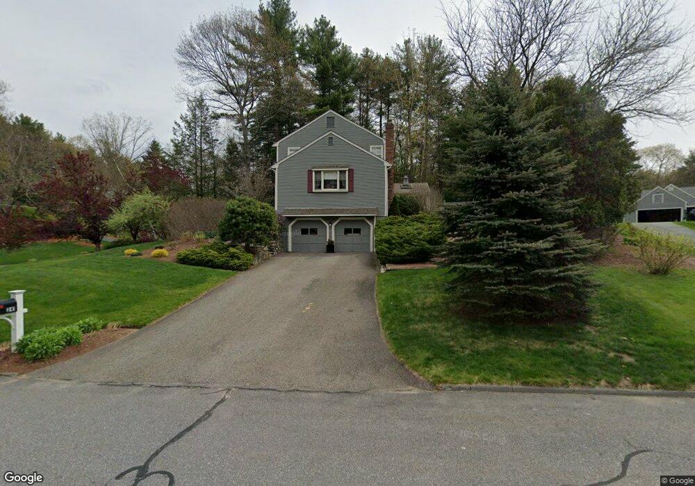
241 Border Rd Concord, MA 01742
Estimated Value: $1,213,000 - $1,292,000
4
Beds
4
Baths
2,464
Sq Ft
$503/Sq Ft
Est. Value
About This Home
This home is located at 241 Border Rd, Concord, MA 01742 and is currently estimated at $1,239,055, approximately $502 per square foot. 241 Border Rd is a home located in Middlesex County with nearby schools including Thoreau Elementary School, Concord Middle School, and Concord Carlisle High School.
Ownership History
Date
Name
Owned For
Owner Type
Purchase Details
Closed on
Jan 25, 2006
Sold by
Jean Marie Zins Ft and Zins Jean Marie
Bought by
Gmelich Bronwen J and Gmelich David R
Current Estimated Value
Home Financials for this Owner
Home Financials are based on the most recent Mortgage that was taken out on this home.
Original Mortgage
$530,000
Outstanding Balance
$300,838
Interest Rate
6.34%
Mortgage Type
Purchase Money Mortgage
Estimated Equity
$938,217
Create a Home Valuation Report for This Property
The Home Valuation Report is an in-depth analysis detailing your home's value as well as a comparison with similar homes in the area
Home Values in the Area
Average Home Value in this Area
Purchase History
| Date | Buyer | Sale Price | Title Company |
|---|---|---|---|
| Gmelich Bronwen J | $670,000 | -- |
Source: Public Records
Mortgage History
| Date | Status | Borrower | Loan Amount |
|---|---|---|---|
| Open | Gmelich Bronwen J | $530,000 |
Source: Public Records
Tax History Compared to Growth
Tax History
| Year | Tax Paid | Tax Assessment Tax Assessment Total Assessment is a certain percentage of the fair market value that is determined by local assessors to be the total taxable value of land and additions on the property. | Land | Improvement |
|---|---|---|---|---|
| 2025 | $124 | $932,900 | $396,100 | $536,800 |
| 2024 | $12,429 | $946,600 | $396,100 | $550,500 |
| 2023 | $11,070 | $854,200 | $330,100 | $524,100 |
| 2022 | $10,772 | $729,800 | $292,800 | $437,000 |
| 2021 | $10,457 | $710,400 | $292,800 | $417,600 |
| 2020 | $10,133 | $712,100 | $292,800 | $419,300 |
| 2019 | $10,062 | $709,100 | $312,200 | $396,900 |
| 2018 | $10,032 | $702,000 | $310,600 | $391,400 |
| 2017 | $9,431 | $670,300 | $278,900 | $391,400 |
| 2016 | $9,292 | $667,500 | $278,900 | $388,600 |
| 2015 | $8,774 | $614,000 | $258,300 | $355,700 |
Source: Public Records
Map
Nearby Homes
- 29 Black Birch Ln Unit 29
- 96 Forest Ridge Rd Unit 96
- 1201 Old Marlboro Rd
- 67 Powder Mill Rd
- 100 Harrington Ave
- 1844 Main St Unit 1844
- 2 Skyview Ln
- 1828 Main St
- 19 Deer Path Unit 5
- 26 Field Rd
- 29 Longfellow Rd
- 57 Longfellow Rd
- 27 Water St
- 42 Dakin Rd
- 37 Water St
- 5 Oak Ridge Dr Unit 7
- 45 Greenwood Rd
- 1687 Main St
- 2 & 6 Powder Mill Rd
- 3 Drummer Rd Unit B3