241 Bunting Ln Mankato, MN 56001
Jaycee Park NeighborhoodEstimated Value: $110,000 - $178,000
2
Beds
2
Baths
828
Sq Ft
$178/Sq Ft
Est. Value
About This Home
This home is located at 241 Bunting Ln, Mankato, MN 56001 and is currently estimated at $147,771, approximately $178 per square foot. 241 Bunting Ln is a home located in Blue Earth County with nearby schools including Kennedy Elementary School, Prairie Winds Middle School, and Mankato East Senior High School.
Ownership History
Date
Name
Owned For
Owner Type
Purchase Details
Closed on
Mar 31, 2021
Sold by
Choi Sunghwan and Abdurakhimova Dilbar
Bought by
Choi Sunghwan and Dilbar Abdurakhimova
Current Estimated Value
Purchase Details
Closed on
Oct 25, 2019
Sold by
Gay Trust
Bought by
Choi Sunghwan
Purchase Details
Closed on
Mar 9, 2019
Sold by
Saumer Catherine A
Bought by
Gay Trust
Purchase Details
Closed on
Aug 6, 2010
Sold by
Franke Dale W and Franke Christine A
Bought by
Gay Christine M
Create a Home Valuation Report for This Property
The Home Valuation Report is an in-depth analysis detailing your home's value as well as a comparison with similar homes in the area
Home Values in the Area
Average Home Value in this Area
Purchase History
| Date | Buyer | Sale Price | Title Company |
|---|---|---|---|
| Choi Sunghwan | -- | None Available | |
| Choi Sunghwan | $74,900 | Title Resources | |
| Gay Trust | -- | None Available | |
| Gay Christine M | $60,000 | -- |
Source: Public Records
Tax History Compared to Growth
Tax History
| Year | Tax Paid | Tax Assessment Tax Assessment Total Assessment is a certain percentage of the fair market value that is determined by local assessors to be the total taxable value of land and additions on the property. | Land | Improvement |
|---|---|---|---|---|
| 2025 | $604 | $84,100 | $7,500 | $76,600 |
| 2024 | $604 | $79,400 | $7,500 | $71,900 |
| 2023 | $602 | $75,900 | $7,000 | $68,900 |
| 2022 | $666 | $75,900 | $7,000 | $68,900 |
| 2021 | $644 | $77,100 | $9,900 | $67,200 |
| 2020 | $876 | $67,300 | $9,900 | $57,400 |
| 2019 | $1,012 | $67,300 | $9,900 | $57,400 |
| 2018 | $998 | $66,800 | $13,200 | $53,600 |
| 2017 | $980 | $66,100 | $24,800 | $41,300 |
| 2016 | $966 | $67,700 | $24,800 | $42,900 |
| 2015 | $8 | $66,800 | $24,800 | $42,000 |
| 2014 | $772 | $194,100 | $74,400 | $119,700 |
Source: Public Records
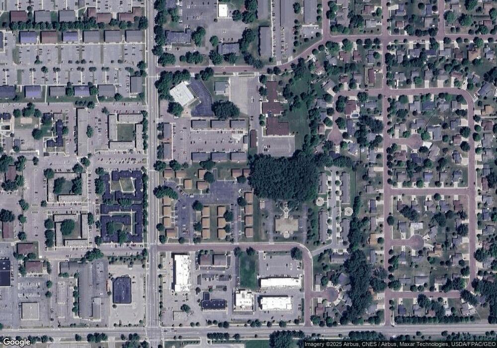
Map
Nearby Homes
- 2 A Madison Ave
- 20 Camelot Dr
- 315 Floral Ave
- 130 Dillon Ave
- 111 Newton St
- 0 Tbd Woodridge Unit 7036731
- 215 Parkway Place
- 516 Cardinal Place
- 121 Savannah Ct
- 317 Oak Marsh Dr
- 248 Quail Path
- 124 Joshua Ct
- TBD Woodridge
- 136 Quail Path
- 0 Agency Trail
- 113 Blue Bird Path
- 128 Timberwolf Ct
- 340 Dolph Rd
- 709 Warren St
- TBD Saratoga
- 241 Bunting Ln
- 241 Bunting Ln Unit 241 Bunting Lane
- 240 Bunting Ln
- 240 Bunting Ln
- 240 Bunting Ln Unit 240 Bunting Lane
- 239 Bunting Ln
- 239 Bunting Ln
- 238 Bunting Ln
- 238 Bunting Ln
- 237 Bunting Ln
- 236 Bunting Ln
- 235 Bunting Ln
- 234 Bunting Ln
- 225 Bunting Ln
- 224 Bunting Ln
- 224 Bunting Ln
- 227 Bunting Ln
- 226 Bunting Ln
- 221 Bunting Ln
- 220 Bunting Ln