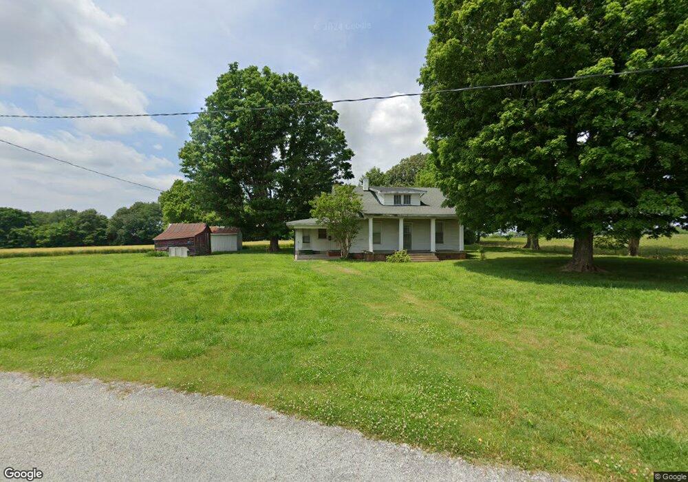
241 Frields Rd Martin, TN 38237
Estimated Value: $198,000 - $671,406
--
Bed
1
Bath
1,540
Sq Ft
$271/Sq Ft
Est. Value
About This Home
This home is located at 241 Frields Rd, Martin, TN 38237 and is currently estimated at $417,135, approximately $270 per square foot. 241 Frields Rd is a home located in Weakley County.
Ownership History
Date
Name
Owned For
Owner Type
Purchase Details
Closed on
Nov 20, 2017
Sold by
Charlene F Howard Revocable Living Trust
Bought by
Fuqua Michael A and Fuqua Teresa T
Current Estimated Value
Home Financials for this Owner
Home Financials are based on the most recent Mortgage that was taken out on this home.
Original Mortgage
$152,638
Outstanding Balance
$84,130
Interest Rate
3.94%
Mortgage Type
Commercial
Estimated Equity
$333,005
Purchase Details
Closed on
May 19, 1994
Bought by
Howard Charlene F and Fuqua Amelia F
Create a Home Valuation Report for This Property
The Home Valuation Report is an in-depth analysis detailing your home's value as well as a comparison with similar homes in the area
Home Values in the Area
Average Home Value in this Area
Purchase History
| Date | Buyer | Sale Price | Title Company |
|---|---|---|---|
| Fuqua Michael A | $200,000 | None Available | |
| Howard Charlene F | $42,700 | -- |
Source: Public Records
Mortgage History
| Date | Status | Borrower | Loan Amount |
|---|---|---|---|
| Open | Fuqua Michael A | $152,638 |
Source: Public Records
Tax History Compared to Growth
Tax History
| Year | Tax Paid | Tax Assessment Tax Assessment Total Assessment is a certain percentage of the fair market value that is determined by local assessors to be the total taxable value of land and additions on the property. | Land | Improvement |
|---|---|---|---|---|
| 2024 | $1,016 | $74,125 | $52,600 | $21,525 |
| 2023 | $1,016 | $74,125 | $52,600 | $21,525 |
| 2022 | $1,064 | $53,925 | $40,975 | $12,950 |
| 2021 | $1,064 | $53,925 | $40,975 | $12,950 |
| 2020 | $1,064 | $53,925 | $40,975 | $12,950 |
| 2019 | $1,064 | $53,925 | $40,975 | $12,950 |
| 2018 | $1,064 | $53,925 | $40,975 | $12,950 |
| 2017 | $936 | $43,925 | $31,775 | $12,150 |
| 2016 | $936 | $43,925 | $0 | $0 |
| 2015 | $936 | $43,928 | $0 | $0 |
| 2014 | $936 | $43,928 | $0 | $0 |
Source: Public Records
Map
Nearby Homes
- 2540 Ralston Rd
- 471 Pierce Rd
- 297 Stover Rd
- 0 Buck Mason Rd Unit Map 015, Parcel 007.
- 137 Haygood Rd
- 12276 Highway 45
- 16 Oakfield Dr
- 2021 Hyndsver Rd
- 828 N Lindell St
- 826 N Lindell St
- 141 Oak St
- 148 Parish Road (Tract 6)
- 148 Parish Road (Tract 4)
- 148 Parrish Road (Tract 3)
- 112 Landrum Dr
- 146 Maywood Dr
- 1217 Hyndsver Rd
- 151 Cherokee Dr
- 2096 Lee Rd
- 2001 Hyndsver Rd
- 280 Frields Rd
- 265 Haney Rd
- 731 H Bushart Rd
- 629 H Bushart Rd
- 791 Ruthville Rd
- 177 Haney Rd
- 298 Frields Rd
- 686 Ruthville Rd
- 445 H Bushart Rd
- 710 Ruthville Rd
- 766 Ruthville Rd
- 585 Ruthville Rd
- 792 Ruthville Rd
- 291 Burchard St
- 10310 Mcconnell Rd
- 10283 Mcconnell Rd
- 520 Ruthville Rd
- 10205 H Bushart Rd
- 10177 Mcconnell Rd
- 430 Ruthville Rd