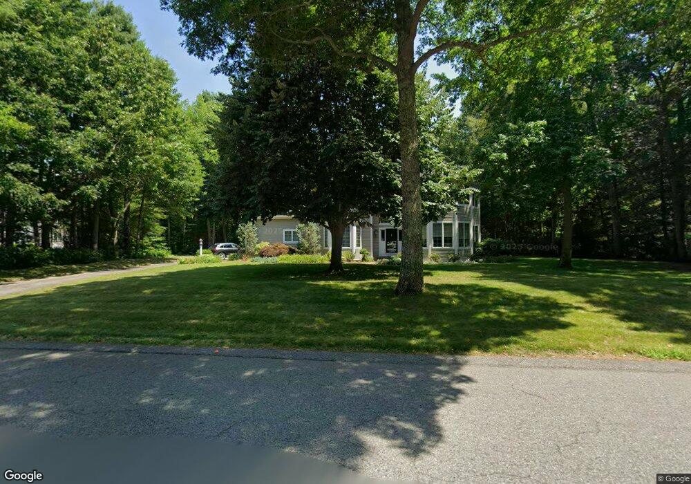
241 Hampstead Way Marshfield, MA 02050
Estimated Value: $1,274,969 - $1,346,000
4
Beds
3
Baths
3,944
Sq Ft
$330/Sq Ft
Est. Value
About This Home
This home is located at 241 Hampstead Way, Marshfield, MA 02050 and is currently estimated at $1,302,742, approximately $330 per square foot. 241 Hampstead Way is a home located in Plymouth County with nearby schools including Martinson Elementary School, Furnace Brook Middle School, and Marshfield High School.
Ownership History
Date
Name
Owned For
Owner Type
Purchase Details
Closed on
Nov 12, 2004
Sold by
Marchionne Susan L
Bought by
Couillard Douglas and Mannetta Melissa C
Current Estimated Value
Create a Home Valuation Report for This Property
The Home Valuation Report is an in-depth analysis detailing your home's value as well as a comparison with similar homes in the area
Home Values in the Area
Average Home Value in this Area
Purchase History
| Date | Buyer | Sale Price | Title Company |
|---|---|---|---|
| Couillard Douglas | $780,000 | -- |
Source: Public Records
Tax History Compared to Growth
Tax History
| Year | Tax Paid | Tax Assessment Tax Assessment Total Assessment is a certain percentage of the fair market value that is determined by local assessors to be the total taxable value of land and additions on the property. | Land | Improvement |
|---|---|---|---|---|
| 2025 | $11,513 | $1,162,900 | $372,400 | $790,500 |
| 2024 | $11,114 | $1,069,700 | $350,600 | $719,100 |
| 2023 | $10,474 | $947,800 | $315,500 | $632,300 |
| 2022 | $10,474 | $808,800 | $263,200 | $545,600 |
| 2021 | $9,973 | $756,100 | $263,200 | $492,900 |
| 2020 | $9,903 | $742,900 | $263,200 | $479,700 |
| 2019 | $9,587 | $716,500 | $263,200 | $453,300 |
| 2018 | $9,463 | $707,800 | $263,200 | $444,600 |
| 2017 | $9,302 | $678,000 | $263,200 | $414,800 |
| 2016 | $8,892 | $640,600 | $252,300 | $388,300 |
| 2015 | $8,395 | $631,700 | $252,300 | $379,400 |
| 2014 | $8,455 | $636,200 | $252,300 | $383,900 |
Source: Public Records
Map
Nearby Homes
- 1 Valley Path
- 91 Metacomet Way
- 1155 Main St
- 3 Cottage Ln
- 480 Pleasant St
- 10 Penstock Ln
- 21 Chowdermarch St
- 28 Riverside Cir
- 32 Carolyn Cir
- 64 Carolyn Cir
- 55 Macombers Way
- 21 Union St
- 76 Macombers Way
- 451 School St Unit 5-2
- 451 School St Unit 3-4
- 848 Plain St Unit 23
- 5 Royal Dane Dr Unit 46
- 5 Royal Dane Dr Unit 45
- 10 Shrine Rd
- 26 Damons Point Cir
- 231 Hampstead Way
- 261 Hampstead Way
- 35 Valley Path
- 59 Valley Path
- 45 Valley Path
- 214 Hampstead Way
- 221 Hampstead Way
- 25 Valley Path
- 71 Valley Path
- 250 Hampstead Way
- 264 Hampstead Way
- 2 Windsor Ln
- 286 Hampstead Way
- 274 Hampstead Way
- 64 Valley Path
- 85 Valley Path
- 190 Hampstead Way
- 10 Windsor Ln
- 195 Hampstead Way
- 97 Valley Path