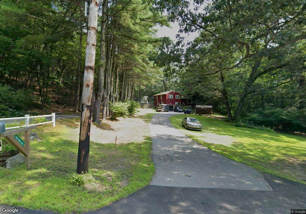
241 Mass Ave Harvard, MA 01451
Estimated Value: $560,000 - $710,000
3
Beds
3
Baths
1,359
Sq Ft
$467/Sq Ft
Est. Value
About This Home
This home is located at 241 Mass Ave, Harvard, MA 01451 and is currently estimated at $634,649, approximately $466 per square foot. 241 Mass Ave is a home located in Worcester County with nearby schools including Hildreth Elementary School and The Bromfield School.
Ownership History
Date
Name
Owned For
Owner Type
Purchase Details
Closed on
Mar 15, 2004
Sold by
Hazirjian Kenneth B and Hazirjian Linda S
Bought by
Kekis Anna F and Kekis John D
Current Estimated Value
Home Financials for this Owner
Home Financials are based on the most recent Mortgage that was taken out on this home.
Original Mortgage
$270,000
Outstanding Balance
$126,186
Interest Rate
5.67%
Mortgage Type
Purchase Money Mortgage
Estimated Equity
$508,463
Create a Home Valuation Report for This Property
The Home Valuation Report is an in-depth analysis detailing your home's value as well as a comparison with similar homes in the area
Home Values in the Area
Average Home Value in this Area
Purchase History
| Date | Buyer | Sale Price | Title Company |
|---|---|---|---|
| Kekis Anna F | $381,850 | -- | |
| Hazirjian Kenneth B | -- | -- |
Source: Public Records
Mortgage History
| Date | Status | Borrower | Loan Amount |
|---|---|---|---|
| Open | Kekis Anna F | $270,000 |
Source: Public Records
Tax History
| Year | Tax Paid | Tax Assessment Tax Assessment Total Assessment is a certain percentage of the fair market value that is determined by local assessors to be the total taxable value of land and additions on the property. | Land | Improvement |
|---|---|---|---|---|
| 2025 | $7,517 | $480,300 | $229,500 | $250,800 |
| 2024 | $7,215 | $484,200 | $229,500 | $254,700 |
| 2023 | $7,312 | $440,200 | $220,000 | $220,200 |
| 2022 | $7,191 | $401,500 | $212,500 | $189,000 |
| 2021 | $9,249 | $384,900 | $212,500 | $172,400 |
| 2020 | $4,250 | $347,100 | $212,500 | $134,600 |
| 2019 | $5,801 | $333,000 | $212,500 | $120,500 |
| 2018 | $3,914 | $333,900 | $212,500 | $121,400 |
| 2017 | $5,014 | $277,000 | $176,500 | $100,500 |
| 2016 | $4,897 | $271,300 | $176,500 | $94,800 |
| 2015 | $5,059 | $284,400 | $172,900 | $111,500 |
| 2014 | $4,860 | $284,400 | $172,900 | $111,500 |
Source: Public Records
Map
Nearby Homes
- 176 Swanson Rd Unit 304
- 220 Swanson Rd Unit 605
- 220 Swanson Rd Unit 606
- 220 Swanson Rd Unit 604
- 226 Swanson Rd Unit 617
- 53 Swanson Ct Unit 24C
- 15 Spencer Rd Unit 12E
- 58 Spencer Rd Unit 18K
- 310 Codman Hill Rd Unit 35D
- 20 Lyons Ln Unit 20
- 77 Wheeler Dr Unit 77
- 14 Pine Hill Way
- 16 A Pine Hill Way Unit 16AA
- 13 Pine Hill Way
- 18 B Pine Hill Way Unit BB
- 19 Partridge Hill Rd
- 605 Stow Rd
- 14 Leonard Rd
- 21 Woodside Rd
- 90 Corn Rd
- 243 Mass Ave
- 249 Mass Ave
- 20 Sherry Rd
- 14 Sherry Rd
- 22 Sherry Rd
- 234 Mass Ave
- 26 Sherry Rd
- 6 Sherry Rd
- 17 Sherry Rd
- 41 Swanson Rd Unit G26
- 23 Sherry Rd
- 23 Sherry Rd Unit 23
- 111 Swanson Rd Unit 111
- 232 Mass Ave
- 232 Mass Ave
- 21 Sherry Rd
- 509 Swanson Rd
- 95 Swanson Rd Unit 124
- 95 Swanson Rd Unit 123
- 95 Swanson Rd Unit 122