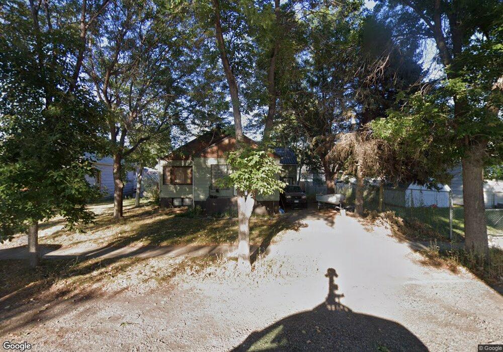
241 N 12th Ave Forsyth, MT 59327
Estimated Value: $158,000 - $559,000
3
Beds
2
Baths
1,478
Sq Ft
$201/Sq Ft
Est. Value
About This Home
This home is located at 241 N 12th Ave, Forsyth, MT 59327 and is currently estimated at $296,783, approximately $200 per square foot. 241 N 12th Ave is a home with nearby schools including Forsyth Elementary School, Forsyth Junior High School, and Forsyth High School.
Ownership History
Date
Name
Owned For
Owner Type
Purchase Details
Closed on
Jun 29, 2023
Sold by
Mohr Sydney J
Bought by
Bromell Austyn D
Current Estimated Value
Home Financials for this Owner
Home Financials are based on the most recent Mortgage that was taken out on this home.
Original Mortgage
$137,464
Outstanding Balance
$134,136
Interest Rate
6.71%
Mortgage Type
Construction
Estimated Equity
$162,647
Purchase Details
Closed on
Aug 30, 2021
Sold by
Seleg Zachary Lee and Seleg Tia Marie
Bought by
Mohr Sydney J
Home Financials for this Owner
Home Financials are based on the most recent Mortgage that was taken out on this home.
Original Mortgage
$117,826
Interest Rate
2.7%
Mortgage Type
FHA
Purchase Details
Closed on
Jan 3, 2018
Bought by
Seleg Zachary
Purchase Details
Closed on
Feb 23, 2012
Sold by
Law Richardson Beth and Barnett Beth Allison
Bought by
Seleg Joseph James and Seleg Sheri Lee
Create a Home Valuation Report for This Property
The Home Valuation Report is an in-depth analysis detailing your home's value as well as a comparison with similar homes in the area
Home Values in the Area
Average Home Value in this Area
Purchase History
| Date | Buyer | Sale Price | Title Company |
|---|---|---|---|
| Bromell Austyn D | $171,830 | Flying S Title & Escrow | |
| Mohr Sydney J | -- | First American Title Company | |
| Seleg Zachary | -- | -- | |
| Seleg Joseph James | -- | -- |
Source: Public Records
Mortgage History
| Date | Status | Borrower | Loan Amount |
|---|---|---|---|
| Open | Bromell Austyn D | $137,464 | |
| Previous Owner | Mohr Sydney J | $117,826 |
Source: Public Records
Tax History Compared to Growth
Tax History
| Year | Tax Paid | Tax Assessment Tax Assessment Total Assessment is a certain percentage of the fair market value that is determined by local assessors to be the total taxable value of land and additions on the property. | Land | Improvement |
|---|---|---|---|---|
| 2025 | $1,338 | $146,600 | $0 | $0 |
| 2024 | $1,704 | $129,700 | $0 | $0 |
| 2023 | $1,580 | $129,700 | $0 | $0 |
| 2022 | $1,584 | $127,100 | $0 | $0 |
| 2021 | $1,332 | $107,700 | $0 | $0 |
| 2020 | $1,204 | $99,000 | $0 | $0 |
| 2019 | $1,177 | $99,000 | $0 | $0 |
| 2018 | $1,212 | $102,600 | $0 | $0 |
| 2017 | $862 | $102,600 | $0 | $0 |
| 2016 | $1,174 | $105,400 | $0 | $0 |
| 2015 | $959 | $105,400 | $0 | $0 |
| 2014 | $595 | $37,312 | $0 | $0 |
Source: Public Records
Map
Nearby Homes