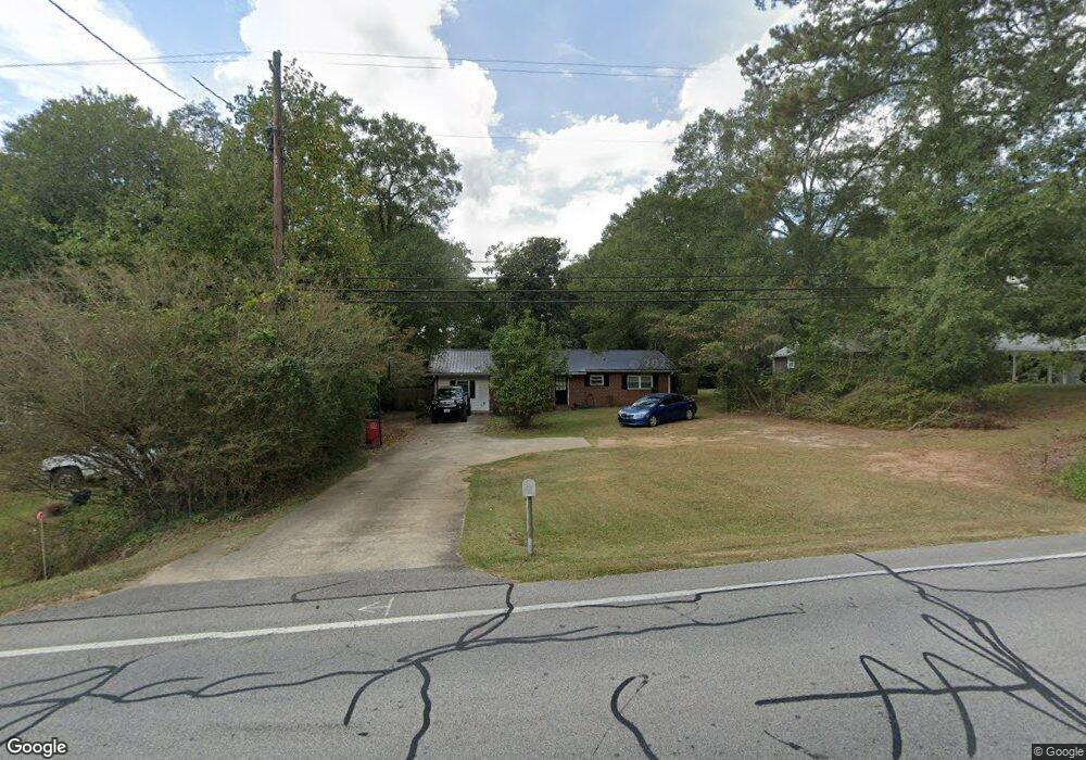
241 N Carroll St Bowdon, GA 30108
Estimated Value: $208,000 - $247,000
3
Beds
1
Bath
1,040
Sq Ft
$216/Sq Ft
Est. Value
About This Home
This home is located at 241 N Carroll St, Bowdon, GA 30108 and is currently estimated at $224,808, approximately $216 per square foot. 241 N Carroll St is a home located in Carroll County with nearby schools including Bowdon Elementary School, Bowdon Middle School, and Bowdon High School.
Ownership History
Date
Name
Owned For
Owner Type
Purchase Details
Closed on
Oct 14, 2016
Sold by
T & H Mitchell Properties De
Bought by
Farmer Danthy
Current Estimated Value
Home Financials for this Owner
Home Financials are based on the most recent Mortgage that was taken out on this home.
Original Mortgage
$86,868
Outstanding Balance
$69,729
Interest Rate
3.5%
Mortgage Type
New Conventional
Estimated Equity
$155,079
Purchase Details
Closed on
May 23, 2014
Sold by
Pierce Dewaine
Bought by
T & H Mitchell Properties Llc
Purchase Details
Closed on
Mar 9, 1993
Bought by
Pierce
Create a Home Valuation Report for This Property
The Home Valuation Report is an in-depth analysis detailing your home's value as well as a comparison with similar homes in the area
Home Values in the Area
Average Home Value in this Area
Purchase History
| Date | Buyer | Sale Price | Title Company |
|---|---|---|---|
| Farmer Danthy | $86,000 | -- | |
| T & H Mitchell Properties Llc | $36,000 | -- | |
| Pierce | $38,000 | -- |
Source: Public Records
Mortgage History
| Date | Status | Borrower | Loan Amount |
|---|---|---|---|
| Open | Farmer Danthy | $86,868 |
Source: Public Records
Tax History Compared to Growth
Tax History
| Year | Tax Paid | Tax Assessment Tax Assessment Total Assessment is a certain percentage of the fair market value that is determined by local assessors to be the total taxable value of land and additions on the property. | Land | Improvement |
|---|---|---|---|---|
| 2024 | $1,691 | $58,124 | $1,634 | $56,490 |
| 2023 | $1,691 | $52,964 | $1,634 | $51,330 |
| 2022 | $1,149 | $35,497 | $1,103 | $34,394 |
| 2021 | $1,012 | $30,349 | $817 | $29,532 |
| 2020 | $902 | $26,838 | $817 | $26,021 |
| 2019 | $840 | $24,646 | $817 | $23,829 |
| 2018 | $762 | $21,887 | $817 | $21,070 |
| 2017 | $764 | $21,887 | $817 | $21,070 |
| 2016 | $764 | $21,887 | $817 | $21,070 |
| 2015 | $526 | $20,120 | $4,824 | $15,297 |
| 2014 | $627 | $20,121 | $4,824 | $15,297 |
Source: Public Records
Map
Nearby Homes
- 215 Rome St
- 6.41 ac N Carroll St & Ave W
- 473 West Ave
- 479 West Ave
- 485 West Ave
- 0 Red Barn Rd Unit 24246965
- 407 E College St
- 427 E College St
- 260 Red Barn Rd
- 0 College View St Unit 10594648
- 0 College View St Unit 7641168
- 0 Hwy 100 Unit LotWP001 24911780
- 0 Hwy 100 Unit 10541558
- 313 Ellenwood Dr
- 274 Red Barn Rd
- 310 W College St
- 237 N Carroll St
- 235 N Carroll St
- 245 N Carroll St
- 250 Rome St
- 242 N Carroll St
- 231 N Carroll St
- 244 N Carroll St
- 234 N Carroll St
- 244 Rome St
- 250 N Carroll St
- 257 Rome St
- 227 N Carroll St
- 254 N Carroll St
- 226 N Carroll St
- 101 Navajo Trail
- 243 Rome St
- 258 N Carroll St
- 228 Rome St
- 222 N Carroll St
- 247 Rome St