241 Quail Roost Unit 241 Cleveland, OH 44124
Estimated Value: $216,000 - $228,000
2
Beds
3
Baths
1,546
Sq Ft
$144/Sq Ft
Est. Value
About This Home
This home is located at 241 Quail Roost Unit 241, Cleveland, OH 44124 and is currently estimated at $222,326, approximately $143 per square foot. 241 Quail Roost Unit 241 is a home located in Cuyahoga County with nearby schools including Mayfield High School, Gilmour Academy, and University School.
Ownership History
Date
Name
Owned For
Owner Type
Purchase Details
Closed on
Aug 20, 1998
Sold by
Shebert Leonard L and Shebert J
Bought by
Miller Linda S
Current Estimated Value
Home Financials for this Owner
Home Financials are based on the most recent Mortgage that was taken out on this home.
Original Mortgage
$80,000
Outstanding Balance
$16,791
Interest Rate
6.99%
Estimated Equity
$205,535
Purchase Details
Closed on
Jan 1, 1986
Bought by
Shebert Leonard L and Shebert J
Create a Home Valuation Report for This Property
The Home Valuation Report is an in-depth analysis detailing your home's value as well as a comparison with similar homes in the area
Home Values in the Area
Average Home Value in this Area
Purchase History
| Date | Buyer | Sale Price | Title Company |
|---|---|---|---|
| Miller Linda S | $151,000 | Title Xperts Agency Inc | |
| Shebert Leonard L | -- | -- |
Source: Public Records
Mortgage History
| Date | Status | Borrower | Loan Amount |
|---|---|---|---|
| Open | Miller Linda S | $80,000 |
Source: Public Records
Tax History Compared to Growth
Tax History
| Year | Tax Paid | Tax Assessment Tax Assessment Total Assessment is a certain percentage of the fair market value that is determined by local assessors to be the total taxable value of land and additions on the property. | Land | Improvement |
|---|---|---|---|---|
| 2024 | $3,780 | $57,470 | $6,510 | $50,960 |
| 2023 | $3,225 | $45,360 | $4,550 | $40,810 |
| 2022 | $3,329 | $45,360 | $4,550 | $40,810 |
| 2021 | $3,294 | $45,360 | $4,550 | $40,810 |
| 2020 | $3,292 | $41,620 | $4,170 | $37,450 |
| 2019 | $3,189 | $118,900 | $11,900 | $107,000 |
| 2018 | $3,061 | $41,620 | $4,170 | $37,450 |
| 2017 | $3,239 | $39,800 | $3,990 | $35,810 |
| 2016 | $3,214 | $39,800 | $3,990 | $35,810 |
| 2015 | $3,682 | $39,800 | $3,990 | $35,810 |
| 2014 | $3,682 | $49,740 | $4,970 | $44,770 |
Source: Public Records
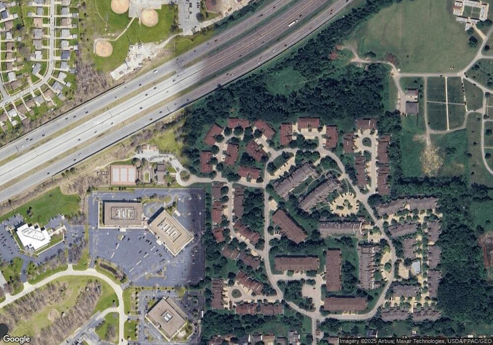
Map
Nearby Homes
- 210 Teal Trace Unit 210
- 200 Fox Hollow Dr Unit 104
- 200 Fox Hollow Dr Unit 100
- 140 Fox Hollow Dr Unit 201A
- 180 Fox Hollow Dr Unit 105
- 220 Fox Hollow Dr Unit 308
- 6344 Woodhawk Dr
- 6419 Longridge Rd
- 6132 Westerham Rd
- 6464 Woodhawk Dr
- 1604 Fruitland Ave
- 1593 Woodhurst Ave
- 1542 Woodhurst Ave
- 1520 Fruitland Ave
- 1572 Crestwood Rd
- 1637 Lander Rd
- 6578 Gates Mills Blvd
- 5960 Cantwell Dr
- 1575 Lander Rd
- 1402 Golden Gate Blvd
- 243 Quail Roost Unit 243
- 235 Quail Roost
- 237 Quail Roost
- 237 Quail Roost Unit 237
- 239 Quail Roost Unit 239
- 229 Teal Trace
- 231 Teal Trace
- 231 Teal Trace Dr
- 231 Teal Trace Unit 231
- 227 Teal Trace Dr
- 227 Teal Trace Unit 227
- 233 Teal Trace
- 223 Teal Trace
- 179 Pheasant Run
- 179 Pheasant Run Unit 179
- 195 Teal Trace Unit 195
- 193 Teal Trace Unit 193
- 187 Teal Trace Unit 187
- 189 Teal Trace
- 191 Teal Trace