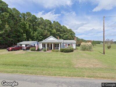
241 Sand Bank Rd Unit BANK New Point, VA 23125
Mathews NeighborhoodEstimated Value: $196,662 - $437,000
2
Beds
1
Bath
1,456
Sq Ft
$185/Sq Ft
Est. Value
About This Home
This home is located at 241 Sand Bank Rd Unit BANK, New Point, VA 23125 and is currently estimated at $269,916, approximately $185 per square foot. 241 Sand Bank Rd Unit BANK is a home located in Mathews County with nearby schools including Thomas Hunter Middle School and Mathews High School.
Ownership History
Date
Name
Owned For
Owner Type
Purchase Details
Closed on
May 7, 2015
Sold by
Hubbard Daniel E and Hubbard Sylvia G
Bought by
Muir Margaret A
Current Estimated Value
Home Financials for this Owner
Home Financials are based on the most recent Mortgage that was taken out on this home.
Original Mortgage
$114,300
Interest Rate
3.69%
Mortgage Type
New Conventional
Purchase Details
Closed on
Nov 6, 2012
Sold by
Wells Fargo Bank Na
Bought by
Hubbard Daniel E and Hubbard Sylvia G
Purchase Details
Closed on
Dec 30, 2005
Sold by
Stiles Robert
Bought by
Goodall Richard L
Home Financials for this Owner
Home Financials are based on the most recent Mortgage that was taken out on this home.
Original Mortgage
$171,000
Interest Rate
6.39%
Mortgage Type
New Conventional
Create a Home Valuation Report for This Property
The Home Valuation Report is an in-depth analysis detailing your home's value as well as a comparison with similar homes in the area
Home Values in the Area
Average Home Value in this Area
Purchase History
| Date | Buyer | Sale Price | Title Company |
|---|---|---|---|
| Muir Margaret A | $127,000 | None Available | |
| Hubbard Daniel E | $45,500 | First American Title Insuran | |
| Goodall Richard L | $190,000 | -- |
Source: Public Records
Mortgage History
| Date | Status | Borrower | Loan Amount |
|---|---|---|---|
| Open | Buck Robert L | $132,990 | |
| Closed | Muir Margaret A | $114,300 | |
| Previous Owner | Goodall Richard L | $171,000 | |
| Previous Owner | Stiles Robert W | $50,000 |
Source: Public Records
Tax History Compared to Growth
Tax History
| Year | Tax Paid | Tax Assessment Tax Assessment Total Assessment is a certain percentage of the fair market value that is determined by local assessors to be the total taxable value of land and additions on the property. | Land | Improvement |
|---|---|---|---|---|
| 2024 | $834 | $148,900 | $19,200 | $129,700 |
| 2023 | $834 | $148,900 | $19,200 | $129,700 |
| 2022 | $823 | $128,600 | $19,200 | $109,400 |
| 2021 | $829 | $128,600 | $19,200 | $109,400 |
| 2020 | $829 | $128,600 | $19,200 | $109,400 |
| 2019 | $829 | $128,600 | $19,200 | $109,400 |
| 2018 | $739 | $128,600 | $19,200 | $109,400 |
| 2017 | $739 | $128,600 | $19,200 | $109,400 |
| 2015 | $7,193 | $0 | $0 | $0 |
| 2014 | $7,193 | $133,200 | $26,500 | $106,700 |
| 2013 | -- | $133,200 | $26,500 | $106,700 |
Source: Public Records
Map
Nearby Homes
- 245 Heath Rd
- 7949 New Point Comfort Hwy
- 901 Circle Dr
- 246 Davis Creek Rd
- 744 Possum Point Rd
- 444 Morse Point Rd
- 364 Millers Ln
- 320 Chesapeake Shore Rd
- 0 Potato Neck Rd
- 729 Potato Neck Rd
- 252 Fishermans Ln
- 219 B Ivison Ln
- 00 Bar Neck Rd
- 0 Wolf Trap Ln
- 166 Windward Way
- 195 Windward Way
- 170 Windward Way
- 1219 Hamburg Rd
- 412 Piney Point Rd
- 0 Piney Point Rd Unit 2409816