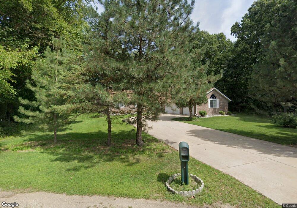
241 Seneca Rd Benton Harbor, MI 49022
Fair Plain NeighborhoodEstimated Value: $316,000 - $381,677
3
Beds
3
Baths
1,972
Sq Ft
$175/Sq Ft
Est. Value
About This Home
This home is located at 241 Seneca Rd, Benton Harbor, MI 49022 and is currently estimated at $344,919, approximately $174 per square foot. 241 Seneca Rd is a home located in Berrien County with nearby schools including Fair Plain Middle School, Benton Harbor High School, and Benton Harbor Charter School Academy.
Ownership History
Date
Name
Owned For
Owner Type
Purchase Details
Closed on
Jan 7, 1994
Current Estimated Value
Purchase Details
Closed on
Dec 31, 1990
Purchase Details
Closed on
Jan 2, 1990
Purchase Details
Closed on
Dec 19, 1989
Purchase Details
Closed on
Oct 16, 1989
Purchase Details
Closed on
Mar 22, 1989
Purchase Details
Closed on
Jun 1, 1987
Purchase Details
Closed on
Jun 14, 1985
Purchase Details
Closed on
Nov 1, 1982
Create a Home Valuation Report for This Property
The Home Valuation Report is an in-depth analysis detailing your home's value as well as a comparison with similar homes in the area
Home Values in the Area
Average Home Value in this Area
Purchase History
| Date | Buyer | Sale Price | Title Company |
|---|---|---|---|
| -- | $7,000 | -- | |
| -- | -- | -- | |
| -- | -- | -- | |
| -- | -- | -- | |
| -- | -- | -- | |
| -- | -- | -- | |
| -- | -- | -- | |
| -- | -- | -- | |
| -- | -- | -- |
Source: Public Records
Tax History
| Year | Tax Paid | Tax Assessment Tax Assessment Total Assessment is a certain percentage of the fair market value that is determined by local assessors to be the total taxable value of land and additions on the property. | Land | Improvement |
|---|---|---|---|---|
| 2025 | $3,070 | $201,900 | $0 | $0 |
| 2024 | $1,845 | $163,400 | $0 | $0 |
| 2023 | $1,757 | $122,400 | $0 | $0 |
| 2022 | $1,673 | $115,200 | $0 | $0 |
| 2021 | $2,690 | $120,700 | $19,500 | $101,200 |
| 2020 | $2,506 | $121,800 | $0 | $0 |
| 2019 | $2,408 | $107,200 | $18,200 | $89,000 |
| 2018 | $2,281 | $107,200 | $0 | $0 |
| 2017 | $2,250 | $106,100 | $0 | $0 |
| 2016 | $2,184 | $106,500 | $0 | $0 |
| 2015 | $2,179 | $99,100 | $0 | $0 |
| 2014 | $1,419 | $96,500 | $0 | $0 |
Source: Public Records
Map
Nearby Homes
- 180 Emery Ave
- 379 Western Ave
- V/L Mcalister
- 298 Bradford Rd
- 1295 Pontiac Rd
- 1156 Mc Alister Ave
- 266 Parker Ave
- 1238 Broadway
- 1216 Broadway
- 389 Parker Ave
- 377 Parker Ave
- 177 Hastings Ave
- 979 Lavette Ave
- 973 Lavette Ave
- 298 W Empire Ave
- 270 Helmar Ct
- 1096 Pearl St
- 1772 Lombard St
- 1250 Superior St
- 1000 Riverview Dr Unit 11
- 231 Seneca Rd
- 251 Seneca Rd
- 221 Seneca Rd
- 260 Seneca Rd
- 262 Seneca Rd
- 211 Seneca Rd
- 200 Seneca Rd
- 233 Cherokee Trail
- 194 Seneca Rd
- 191 Seneca Rd
- 270 Seneca Rd
- 226 Cherokee Trail
- 264 Seneca Rd
- 251 Cherokee Trail
- 178 Seneca Rd
- 201 Seneca Rd
- 232 Cherokee Trail
- 269 Cherokee Trail
- 281 Seneca Rd
- 296 Seneca Rd
Your Personal Tour Guide
Ask me questions while you tour the home.