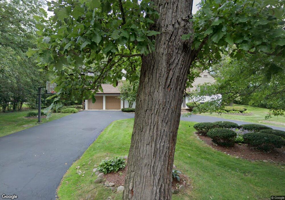
2411 Dundonald Rd Flossmoor, IL 60422
Estimated Value: $416,000 - $545,000
5
Beds
2
Baths
3,325
Sq Ft
$147/Sq Ft
Est. Value
About This Home
This home is located at 2411 Dundonald Rd, Flossmoor, IL 60422 and is currently estimated at $488,816, approximately $147 per square foot. 2411 Dundonald Rd is a home located in Cook County with nearby schools including Western Avenue Elementary School, Parker Junior High School, and Homewood-Flossmoor High School.
Ownership History
Date
Name
Owned For
Owner Type
Purchase Details
Closed on
Jun 25, 2005
Sold by
Moore Henry D and Moore Angela T
Bought by
Moore Angela T and Angela T Moore Declaration Of Trust
Current Estimated Value
Purchase Details
Closed on
Nov 1, 1995
Sold by
Gordon Richard A
Bought by
East Side Bank & Trust Company
Home Financials for this Owner
Home Financials are based on the most recent Mortgage that was taken out on this home.
Original Mortgage
$200,000
Interest Rate
7.44%
Create a Home Valuation Report for This Property
The Home Valuation Report is an in-depth analysis detailing your home's value as well as a comparison with similar homes in the area
Home Values in the Area
Average Home Value in this Area
Purchase History
| Date | Buyer | Sale Price | Title Company |
|---|---|---|---|
| Moore Angela T | -- | -- | |
| East Side Bank & Trust Company | $385,000 | -- |
Source: Public Records
Mortgage History
| Date | Status | Borrower | Loan Amount |
|---|---|---|---|
| Previous Owner | East Side Bank & Trust Company | $200,000 |
Source: Public Records
Tax History Compared to Growth
Tax History
| Year | Tax Paid | Tax Assessment Tax Assessment Total Assessment is a certain percentage of the fair market value that is determined by local assessors to be the total taxable value of land and additions on the property. | Land | Improvement |
|---|---|---|---|---|
| 2024 | $14,596 | $37,606 | $9,298 | $28,308 |
| 2023 | $13,150 | $37,606 | $9,298 | $28,308 |
| 2022 | $13,150 | $27,869 | $8,085 | $19,784 |
| 2021 | $13,222 | $27,869 | $8,085 | $19,784 |
| 2020 | $12,784 | $27,869 | $8,085 | $19,784 |
| 2019 | $16,444 | $33,943 | $7,276 | $26,667 |
| 2018 | $15,822 | $33,943 | $7,276 | $26,667 |
| 2017 | $17,149 | $37,054 | $7,276 | $29,778 |
| 2016 | $13,322 | $27,651 | $6,468 | $21,183 |
| 2015 | $15,513 | $29,151 | $6,468 | $22,683 |
| 2014 | $15,220 | $29,151 | $6,468 | $22,683 |
| 2013 | $15,088 | $31,578 | $6,468 | $25,110 |
Source: Public Records
Map
Nearby Homes
- 1430 Brassie Ave
- 2621 Brassie Ave
- 2747 Perry Rd
- 1139 Leavitt Ave Unit 313
- 1137 Leavitt Ave Unit 118
- 2307 Flossmoor Rd
- 1117 Leavitt Ave Unit 108
- 1117 Leavitt Ave Unit 110
- 1248 Oakmont Ave
- 1402 Berry Ln
- 1248 Berry Ln
- 2640 Central Dr Unit 1-N
- 2007 Amherst Ct
- 2932 Bonnie Brae Crescent
- 2144 Hagen Ln
- 1820 Princeton Rd
- 3013 Mac Heath Crescent
- 922 Sterling Ave
- 213 Cove Dr
- 2931 Sunset Ave
- 2411 Dundonald Rd
- 1450 Western Ave
- 2425 Dundonald Rd
- 2416 Dundonald Rd
- 1447 Brassie Ave
- 2426 Dundonald Rd
- 1440 Western Ave
- 1439 Brassie Ave
- 1430 Western Ave
- 2436 Dundonald Rd
- 2415 Braeburn Ave
- 2425 Braeburn Ave
- 2405 Braeburn Ave
- 1431 Brassie Ave
- 1502 Brassie Ave
- 1448 Brassie Ave
- 1423 Brassie Ave
- 2443 Braeburn Ave
- 1211 Brassie Ave
- 1438 Brassie Ave