2411 State Highway 9 Decorah, IA 52101
Estimated Value: $554,000 - $703,000
4
Beds
4
Baths
3,600
Sq Ft
$176/Sq Ft
Est. Value
About This Home
This home is located at 2411 State Highway 9, Decorah, IA 52101 and is currently estimated at $633,345, approximately $175 per square foot. 2411 State Highway 9 is a home with nearby schools including South Winneshiek Elementary School, South Winneshiek Middle School, and South Winneshiek High School.
Ownership History
Date
Name
Owned For
Owner Type
Purchase Details
Closed on
May 21, 2015
Sold by
Mitchell Galynn E and Mitchell Jill H
Bought by
Bohr Daniel J
Current Estimated Value
Home Financials for this Owner
Home Financials are based on the most recent Mortgage that was taken out on this home.
Original Mortgage
$24,500
Outstanding Balance
$18,792
Interest Rate
3.64%
Mortgage Type
Future Advance Clause Open End Mortgage
Estimated Equity
$614,553
Create a Home Valuation Report for This Property
The Home Valuation Report is an in-depth analysis detailing your home's value as well as a comparison with similar homes in the area
Home Values in the Area
Average Home Value in this Area
Purchase History
| Date | Buyer | Sale Price | Title Company |
|---|---|---|---|
| Bohr Daniel J | $32,000 | None Available |
Source: Public Records
Mortgage History
| Date | Status | Borrower | Loan Amount |
|---|---|---|---|
| Open | Bohr Daniel J | $24,500 |
Source: Public Records
Tax History Compared to Growth
Tax History
| Year | Tax Paid | Tax Assessment Tax Assessment Total Assessment is a certain percentage of the fair market value that is determined by local assessors to be the total taxable value of land and additions on the property. | Land | Improvement |
|---|---|---|---|---|
| 2025 | $7,284 | $664,790 | $62,340 | $602,450 |
| 2024 | $7,284 | $586,820 | $62,340 | $524,480 |
| 2023 | $6,822 | $586,820 | $62,340 | $524,480 |
| 2022 | $6,206 | $509,480 | $51,950 | $457,530 |
| 2021 | $6,002 | $479,070 | $51,950 | $427,120 |
| 2020 | $6,002 | $448,100 | $51,950 | $396,150 |
| 2019 | $5,978 | $447,140 | $0 | $0 |
| 2018 | $6,142 | $447,140 | $0 | $0 |
| 2017 | $5,968 | $414,990 | $0 | $0 |
| 2016 | $5,910 | $414,990 | $0 | $0 |
| 2015 | $5,724 | $395,830 | $0 | $0 |
| 2014 | $5,636 | $395,830 | $0 | $0 |
Source: Public Records
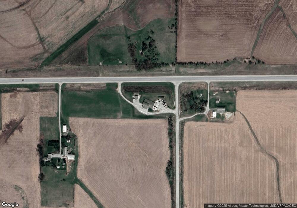
Map
Nearby Homes
- 2155 Twin Springs Rd
- 710 Serenity Ct
- 709 Serenity Ct
- Lot 7 BLK 1 Bruening Second Addition
- 624 North St
- 205 Ohio St Unit 4
- 207 West St
- 102 Center St
- 407 Iowa Ave
- 1500 Division St
- 1306 Skyline Dr
- 601 W Broadway St
- 616 W Water St
- 110 Crescent Ave
- 408 W Broadway St
- 211 Vernon St
- 304 Jefferson St
- 725 Ridge Rd
- 0 Pleasant Ave Unit 20222279
- 310 E Broadway St
- 2395 State Highway 9
- 2423 State Highway 9
- 2374 State Highway 9
- 2372 245th Ave
- 2366 245th Ave
- 2462 State Highway 9
- 2391 245th Ave
- 2401 235th Ave
- 2449 235th Ave
- 2341 State Highway 9
- 2318 240th Ave
- 2320 245th Ave
- 2458 235th Ave
- 2319 240th Ave
- 2317 State Highway 9
- 2319 State Highway 9
- 2326 State Highway 9