24110 435th Ave Aitkin, MN 56431
Estimated Value: $288,410 - $326,000
2
Beds
1
Bath
1,000
Sq Ft
$307/Sq Ft
Est. Value
About This Home
This home is located at 24110 435th Ave, Aitkin, MN 56431 and is currently estimated at $307,205, approximately $307 per square foot. 24110 435th Ave is a home located in Aitkin County with nearby schools including Rippleside Elementary School and Aitkin Secondary School.
Ownership History
Date
Name
Owned For
Owner Type
Purchase Details
Closed on
Dec 21, 2015
Sold by
Adams Ronald Ronald
Bought by
Lowe Mark
Current Estimated Value
Home Financials for this Owner
Home Financials are based on the most recent Mortgage that was taken out on this home.
Original Mortgage
$63,000
Outstanding Balance
$49,839
Interest Rate
3.88%
Estimated Equity
$257,366
Purchase Details
Closed on
Jul 1, 2006
Bought by
Adams Ronald and Adams Roberta
Create a Home Valuation Report for This Property
The Home Valuation Report is an in-depth analysis detailing your home's value as well as a comparison with similar homes in the area
Home Values in the Area
Average Home Value in this Area
Purchase History
| Date | Buyer | Sale Price | Title Company |
|---|---|---|---|
| Lowe Mark | $63,000 | -- | |
| Adams Ronald | $135,000 | -- |
Source: Public Records
Mortgage History
| Date | Status | Borrower | Loan Amount |
|---|---|---|---|
| Open | Lowe Mark | $63,000 |
Source: Public Records
Tax History
| Year | Tax Paid | Tax Assessment Tax Assessment Total Assessment is a certain percentage of the fair market value that is determined by local assessors to be the total taxable value of land and additions on the property. | Land | Improvement |
|---|---|---|---|---|
| 2025 | $400 | $208,500 | $83,400 | $125,100 |
| 2024 | $596 | $200,300 | $81,300 | $119,000 |
| 2023 | $490 | $186,300 | $67,300 | $119,000 |
| 2022 | $480 | $159,800 | $60,000 | $99,800 |
| 2021 | $440 | $126,100 | $43,100 | $83,000 |
| 2020 | $414 | $123,200 | $43,900 | $79,300 |
| 2019 | $398 | $115,100 | $44,200 | $70,900 |
| 2018 | $364 | $110,600 | $45,000 | $65,600 |
| 2017 | $272 | $107,100 | $45,100 | $62,000 |
| 2016 | $742 | $107,900 | $45,300 | $62,600 |
| 2014 | $728 | $102,900 | $44,000 | $58,900 |
| 2012 | $7 | $117,100 | $43,400 | $73,700 |
Source: Public Records
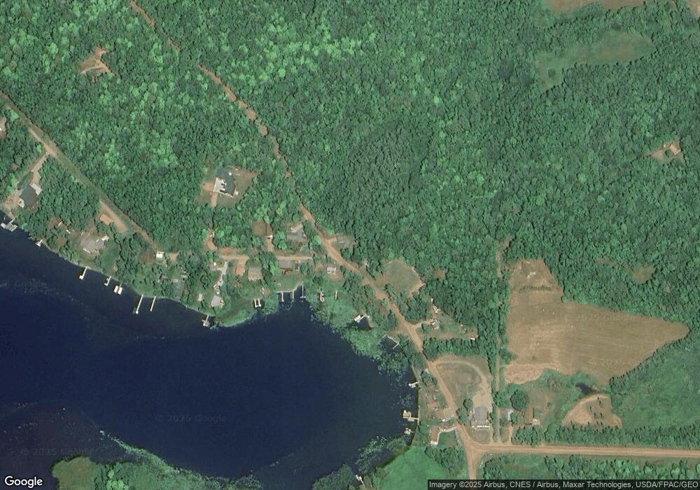
Map
Nearby Homes
- 22129 437th Ave
- Blk 3 Lots 2 & 3 Nottingham Town
- Blk 2 Lots 1 & 2 Canterbury Town
- Blk 8 Lot 31 Canterbury Town
- Blk 8 Lot 04
- Blk 5 lot 12 Canterbury Town
- 21740 442nd Place Unit 234
- 13496 Wilson Lake Dr
- 38602 241st St
- XXX Wilson Lake Dr
- TBD Lilac Dr
- 14777 Katrine Dr
- 9699 US Highway 169
- 29510 U S 169 Unit 42
- 29510 US Highway 169 Unit 42
- 27311 Nelson Dr
- 25701 Bambi Ln
- 29957 436th Place
- 25637 Circle Dr
- 24504 Mn-18
- 43513 241st Ln
- 43521 241st Ln
- 24145 435th Ave
- 24145 435th Ave
- 43549 241st Ln
- 43582 241st Ln
- 24073 435th Ave
- 43597 241st Ln
- 24058 435th Ave
- 24153 435th Ave
- 43631 241st Ln
- 24037 435th Ave
- 24xxx 435th Ave
- 43693 241st Ln
- 24019 435th Ave
- 24088 434th Place
- 24011 435th Ave
- 43704 244th Ln
- 43700 244th Ln
- 43398 240th St