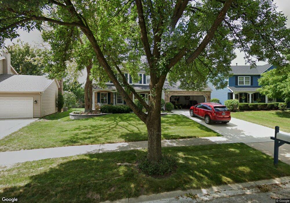
2413 Brockton Cir Naperville, IL 60565
Old Farm NeighborhoodEstimated Value: $516,000 - $606,000
--
Bed
1
Bath
2,590
Sq Ft
$216/Sq Ft
Est. Value
About This Home
This home is located at 2413 Brockton Cir, Naperville, IL 60565 and is currently estimated at $560,707, approximately $216 per square foot. 2413 Brockton Cir is a home located in Will County with nearby schools including Spring Brook Elementary School, Gordon Gregory Middle School, and Neuqua Valley High School.
Ownership History
Date
Name
Owned For
Owner Type
Purchase Details
Closed on
Oct 30, 2015
Sold by
Bedford Robert C and Bedford Mary P
Bought by
The Bedford Family Trust 2015 Declaratio
Current Estimated Value
Purchase Details
Closed on
Dec 12, 1994
Sold by
Ramachandran Ramadurai and Ramachandran Kausalya
Bought by
Bedford Robert C and Bedford Mary P
Home Financials for this Owner
Home Financials are based on the most recent Mortgage that was taken out on this home.
Original Mortgage
$128,000
Interest Rate
7.75%
Purchase Details
Closed on
Jun 29, 1990
Bought by
Bedford Robert C
Create a Home Valuation Report for This Property
The Home Valuation Report is an in-depth analysis detailing your home's value as well as a comparison with similar homes in the area
Home Values in the Area
Average Home Value in this Area
Purchase History
| Date | Buyer | Sale Price | Title Company |
|---|---|---|---|
| The Bedford Family Trust 2015 Declaratio | -- | Attorney | |
| Bedford Robert C | $212,000 | -- | |
| Bedford Robert C | $188,500 | -- |
Source: Public Records
Mortgage History
| Date | Status | Borrower | Loan Amount |
|---|---|---|---|
| Closed | Bedford Robert C | $128,000 |
Source: Public Records
Tax History Compared to Growth
Tax History
| Year | Tax Paid | Tax Assessment Tax Assessment Total Assessment is a certain percentage of the fair market value that is determined by local assessors to be the total taxable value of land and additions on the property. | Land | Improvement |
|---|---|---|---|---|
| 2024 | $10,670 | $170,896 | $36,171 | $134,725 |
| 2023 | $10,670 | $150,968 | $31,953 | $119,015 |
| 2022 | $9,748 | $140,540 | $30,226 | $110,314 |
| 2021 | $9,313 | $133,848 | $28,787 | $105,061 |
| 2020 | $9,134 | $131,727 | $28,331 | $103,396 |
| 2019 | $8,975 | $128,015 | $27,533 | $100,482 |
| 2018 | $8,970 | $125,742 | $26,927 | $98,815 |
| 2017 | $8,830 | $122,496 | $26,232 | $96,264 |
| 2016 | $8,812 | $119,859 | $25,667 | $94,192 |
| 2015 | $9,022 | $115,249 | $24,680 | $90,569 |
| 2014 | $9,022 | $113,882 | $24,680 | $89,202 |
| 2013 | $9,022 | $113,882 | $24,680 | $89,202 |
Source: Public Records
Map
Nearby Homes
- 2509 Brockton Cir
- 567 Roxbury Dr
- 2206 Gleneagles Dr
- 2308 Modaff Rd
- 445 Travelaire Ave
- 2734 Alyssa Dr
- 1948 Navarone Dr
- 2167 Countryside Cir
- 1134 Gateshead Dr
- 2471 Kingsley Dr
- 2337 Worthing Dr Unit 102A
- 303 Cedarbrook Rd
- 1305 Morningstar Ct Unit 1A
- 1321 Galena Ct
- 51 Ford Ln
- 1123 Thackery Ln
- 2132 Berkley Ct Unit 201A
- 27W264 80th St
- 36 Oak Bluff Ct
- 47 Glencoe Ct Unit 102D
- 2409 Brockton Cir
- 2417 Brockton Cir
- 504 Rock Spring Ct
- 2405 Brockton Cir
- 508 Rock Spring Ct
- 2421 Brockton Cir
- 2412 Brockton Cir
- 507 Rock Spring Ct
- 2329 Newport Dr
- 2420 Brockton Cir
- 2425 Brockton Cir
- 2401 Brockton Cir
- 2401 Newport Dr
- 512 Rock Spring Ct
- 2307 Wilmington Ct Unit 4
- 2424 Brockton Cir
- 2325 Newport Dr
- 2407 Newport Dr
- 2429 Brockton Cir
- 511 Rock Spring Ct