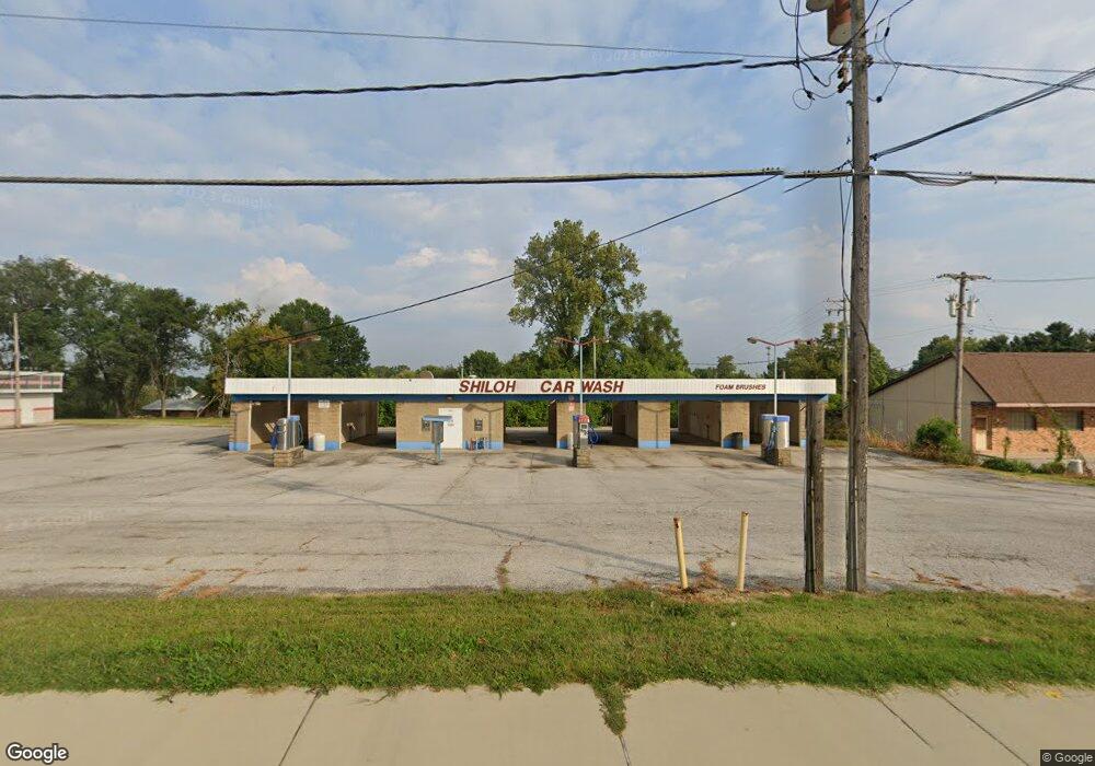
2413 Lebanon Ave Shiloh, IL 62221
Estimated Value: $484,613
--
Bed
--
Bath
2,968
Sq Ft
$163/Sq Ft
Est. Value
About This Home
This home is located at 2413 Lebanon Ave, Shiloh, IL 62221 and is currently estimated at $484,613, approximately $163 per square foot. 2413 Lebanon Ave is a home located in St. Clair County with nearby schools including Whiteside Elementary School, Whiteside Middle School, and St Teresa Catholic School.
Ownership History
Date
Name
Owned For
Owner Type
Purchase Details
Closed on
Aug 5, 2024
Sold by
Nguyen Charles C
Bought by
Macn Group Llc
Current Estimated Value
Home Financials for this Owner
Home Financials are based on the most recent Mortgage that was taken out on this home.
Original Mortgage
$120,000
Outstanding Balance
$118,642
Interest Rate
6.87%
Mortgage Type
Purchase Money Mortgage
Estimated Equity
$365,971
Purchase Details
Closed on
Oct 15, 2001
Sold by
Weston Norman and Weston Waleen
Bought by
Nguyen Charles C
Create a Home Valuation Report for This Property
The Home Valuation Report is an in-depth analysis detailing your home's value as well as a comparison with similar homes in the area
Home Values in the Area
Average Home Value in this Area
Purchase History
| Date | Buyer | Sale Price | Title Company |
|---|---|---|---|
| Macn Group Llc | $120,000 | None Available | |
| Nguyen Charles C | $195,000 | Town & Country Title |
Source: Public Records
Mortgage History
| Date | Status | Borrower | Loan Amount |
|---|---|---|---|
| Open | Macn Group Llc | $120,000 |
Source: Public Records
Tax History Compared to Growth
Tax History
| Year | Tax Paid | Tax Assessment Tax Assessment Total Assessment is a certain percentage of the fair market value that is determined by local assessors to be the total taxable value of land and additions on the property. | Land | Improvement |
|---|---|---|---|---|
| 2024 | $5,746 | $84,272 | $11,656 | $72,616 |
| 2023 | $5,817 | $83,108 | $11,495 | $71,613 |
| 2022 | $5,062 | $75,690 | $10,469 | $65,221 |
| 2021 | $4,965 | $72,583 | $10,039 | $62,544 |
| 2020 | $4,813 | $67,595 | $9,349 | $58,246 |
| 2019 | $4,861 | $70,525 | $9,541 | $60,984 |
| 2018 | $4,764 | $68,724 | $9,297 | $59,427 |
| 2017 | $4,810 | $66,894 | $9,049 | $57,845 |
| 2016 | $4,789 | $64,588 | $8,737 | $55,851 |
| 2014 | $4,416 | $64,698 | $8,426 | $56,272 |
| 2013 | $6,006 | $64,698 | $8,426 | $56,272 |
Source: Public Records
Map
Nearby Homes
- 2333 Greenfield Dr
- 2336 Greenfield Dr
- 120 Williamsburg Dr
- 207 Country Meadow Ln
- 2226 Wendy Way Dr
- 220 Country Meadow Ln
- 2237 Monterey Dr
- 3231 Stonebridge Dr
- 3217 Millbrook Dr
- 313 Radcliff Rd
- 2290 Wellington Dr
- 3233 Scepter Ct
- 344 Westline Ct
- 612 Westfield Ct
- 2237 Glenfield Dr
- 2224 Cotswold Cir
- 713 Oxen Dr
- 714 Oxen Dr
- 300 Sundew Dr
- 0 N Green Mount Rd
- xxx Lebanon Ave
- 11 Pleasant View Ct
- 7 Pleasant View Ct
- 25 York Port Dr
- 21 York Port Dr
- 15 Pleasant View Ct
- 38 York Port Dr
- 41 York Port Dr
- 21 Pleasant View Ct
- 2421 Patrick Dr
- 39 Pleasant View Ct
- 2409 Patrick Dr
- 23 Pleasant View Ct
- 2405 Patrick Dr
- 35 Pleasant View Ct
- 122 Adeline Dr
- 29 Pleasant View Ct
- 27 Pleasant View Ct
- 31 Pleasant View Ct
- 2401 Patrick Dr