2413 Sattsgate Dr Lewisville, NC 27023
Estimated Value: $626,671 - $803,000
4
Beds
5
Baths
3,494
Sq Ft
$211/Sq Ft
Est. Value
About This Home
This home is located at 2413 Sattsgate Dr, Lewisville, NC 27023 and is currently estimated at $738,418, approximately $211 per square foot. 2413 Sattsgate Dr is a home located in Forsyth County with nearby schools including Lewisville Elementary School, Meadowlark Middle School, and Ronald W. Reagan High School.
Ownership History
Date
Name
Owned For
Owner Type
Purchase Details
Closed on
Mar 5, 1999
Sold by
Blizard Richard E and Blizard Lydia L
Bought by
Norman Michael W and Norman Donna J
Current Estimated Value
Home Financials for this Owner
Home Financials are based on the most recent Mortgage that was taken out on this home.
Original Mortgage
$140,000
Outstanding Balance
$33,279
Interest Rate
6.79%
Mortgage Type
Seller Take Back
Estimated Equity
$705,139
Create a Home Valuation Report for This Property
The Home Valuation Report is an in-depth analysis detailing your home's value as well as a comparison with similar homes in the area
Home Values in the Area
Average Home Value in this Area
Purchase History
| Date | Buyer | Sale Price | Title Company |
|---|---|---|---|
| Norman Michael W | $265,000 | -- |
Source: Public Records
Mortgage History
| Date | Status | Borrower | Loan Amount |
|---|---|---|---|
| Open | Norman Michael W | $140,000 |
Source: Public Records
Tax History Compared to Growth
Tax History
| Year | Tax Paid | Tax Assessment Tax Assessment Total Assessment is a certain percentage of the fair market value that is determined by local assessors to be the total taxable value of land and additions on the property. | Land | Improvement |
|---|---|---|---|---|
| 2025 | $3,901 | $541,900 | $91,900 | $450,000 |
| 2024 | $3,743 | $396,600 | $76,500 | $320,100 |
| 2023 | $3,743 | $396,600 | $76,500 | $320,100 |
| 2022 | $3,743 | $396,600 | $76,500 | $320,100 |
| 2021 | $3,743 | $396,600 | $76,500 | $320,100 |
| 2020 | $3,649 | $360,300 | $67,200 | $293,100 |
| 2019 | $3,685 | $360,300 | $67,200 | $293,100 |
| 2018 | $3,528 | $360,300 | $67,200 | $293,100 |
| 2016 | $3,195 | $324,966 | $59,535 | $265,431 |
| 2015 | $3,195 | $324,966 | $59,535 | $265,431 |
| 2014 | $3,149 | $324,966 | $59,535 | $265,431 |
Source: Public Records
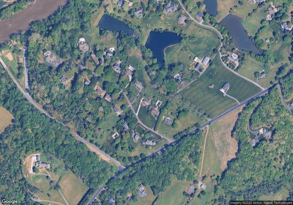
Map
Nearby Homes
- 2204 Pellam Forest Ct
- 0 Conrad Rd
- 901 Tierney Dr
- 2950 Beroth Rd
- Lot 4 - Conrad Estat Conrad Rd
- Lot 5 - Conrad Estat Conrad Rd
- Lot 6 - Conrad Estat Conrad Rd
- 000 Conrad Rd
- 7805 Grapevine Rd
- 9687 Lissara Camp Ct
- 9631 Lissara Camp Ct
- 9664 Lissara Camp Ct
- 5611 Stone Ridge Dr
- 8397 Tuscany Dr
- 3650 Beroth Cir
- 315 Wyntfield Dr
- 9161 Crossgar Terrace Ct
- 1040 Wellesley Place Dr
- 101 Wellesley Place Ct
- 8024 Mill Chase
- 2409 Sattsgate Dr
- 2417 Sattsgate Dr
- 2405 Sattsgate Dr
- 2412 Sattsgate Dr
- 2408 Sattsgate Dr
- 2421 Sattsgate Dr
- 2416 Sattsgate Dr
- 2404 Sattsgate Dr
- 2400 Sattsgate Dr
- 18 Sattsgate Farms
- 2425 Sattsgate Dr
- 2420 Sattsgate Dr
- 7675 Yadkinville Rd
- 2424 Sattsgate Dr
- 2429 Sattsgate Dr
- 2433 Sattsgate Dr
- 2437 Sattsgate Dr
- 2428 Sattsgate Dr
- 1645 Conrad Rd
- 2340 River Run Dr