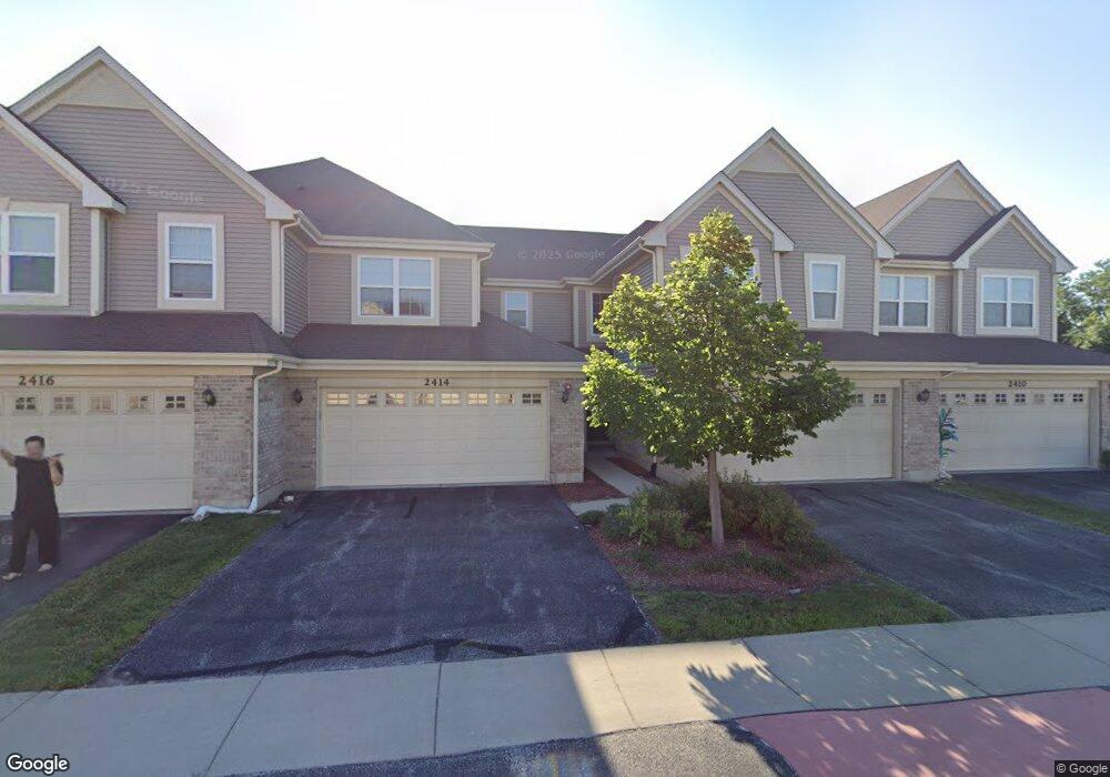
2414 Birch St Des Plaines, IL 60018
Estimated Value: $392,000 - $415,000
3
Beds
2
Baths
1,701
Sq Ft
$237/Sq Ft
Est. Value
About This Home
This home is located at 2414 Birch St, Des Plaines, IL 60018 and is currently estimated at $402,901, approximately $236 per square foot. 2414 Birch St is a home with nearby schools including Orchard Place Elementary School, Algonquin Middle School, and Maine West High School.
Ownership History
Date
Name
Owned For
Owner Type
Purchase Details
Closed on
Jan 31, 2012
Sold by
Adelman Dennis Neal and Ademan Sheryl
Bought by
Adelman Dennis N and The Dennis M Adelman Trust
Current Estimated Value
Purchase Details
Closed on
Nov 18, 2011
Sold by
Drh Cambridge Homes Inc
Bought by
Adelman Dennis Neal and Adelman Sheryl D
Home Financials for this Owner
Home Financials are based on the most recent Mortgage that was taken out on this home.
Original Mortgage
$112,500
Outstanding Balance
$77,047
Interest Rate
4.11%
Mortgage Type
New Conventional
Estimated Equity
$325,854
Create a Home Valuation Report for This Property
The Home Valuation Report is an in-depth analysis detailing your home's value as well as a comparison with similar homes in the area
Home Values in the Area
Average Home Value in this Area
Purchase History
| Date | Buyer | Sale Price | Title Company |
|---|---|---|---|
| Adelman Dennis N | -- | None Available | |
| Adelman Dennis Neal | $236,500 | First American Title |
Source: Public Records
Mortgage History
| Date | Status | Borrower | Loan Amount |
|---|---|---|---|
| Open | Adelman Dennis Neal | $112,500 |
Source: Public Records
Tax History Compared to Growth
Tax History
| Year | Tax Paid | Tax Assessment Tax Assessment Total Assessment is a certain percentage of the fair market value that is determined by local assessors to be the total taxable value of land and additions on the property. | Land | Improvement |
|---|---|---|---|---|
| 2024 | $6,425 | $31,001 | $5,501 | $25,500 |
| 2023 | $6,217 | $31,001 | $5,501 | $25,500 |
| 2022 | $6,217 | $31,001 | $5,501 | $25,500 |
| 2021 | $5,711 | $25,241 | $1,718 | $23,523 |
| 2020 | $5,753 | $25,241 | $1,718 | $23,523 |
| 2019 | $5,971 | $28,361 | $1,718 | $26,643 |
| 2018 | $4,181 | $20,851 | $1,511 | $19,340 |
| 2017 | $4,936 | $20,851 | $1,511 | $19,340 |
| 2016 | $4,902 | $20,851 | $1,511 | $19,340 |
| 2015 | $6,462 | $23,997 | $1,305 | $22,692 |
| 2014 | $6,342 | $23,997 | $1,305 | $22,692 |
| 2013 | $6,166 | $23,997 | $1,305 | $22,692 |
Source: Public Records
Map
Nearby Homes
- 2500 Maple St
- 1706 Buckingham Dr
- 1966 Laura Ln
- 2600 S Scott St
- 2609 Eisenhower Dr
- 1641 E Touhy Ave
- 1629 E Touhy Ave
- 2646 Maple St
- 2126 David Dr
- 38 E Touhy Ave
- 1757 Farwell Ave
- 2993 Curtis St Unit C41
- 2017 Pine St Unit B
- 3051 S Scott St
- 1928 Kennicott Ct
- 1721 Linden St
- 22 Park Ln Unit 203
- 44 Park Ln Unit 435
- 1640 S River Rd
- 1724 Illinois St