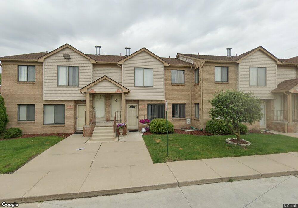
24144 Ashford Ln Unit 19 Clinton Township, MI 48036
Estimated Value: $101,462 - $105,000
2
Beds
1
Bath
784
Sq Ft
$132/Sq Ft
Est. Value
About This Home
This home is located at 24144 Ashford Ln Unit 19, Clinton Township, MI 48036 and is currently estimated at $103,616, approximately $132 per square foot. 24144 Ashford Ln Unit 19 is a home located in Macomb County with nearby schools including Atwood Elementary School, L'Anse Creuse Middle School - North, and L'Anse Creuse High School - North.
Ownership History
Date
Name
Owned For
Owner Type
Purchase Details
Closed on
Nov 28, 2017
Sold by
Filkoski David
Bought by
Patel Shureshchandra and Patel Anuradhaben
Current Estimated Value
Purchase Details
Closed on
Feb 23, 2005
Sold by
Baker Scott and Baker Kristi
Bought by
Filkoski David P
Home Financials for this Owner
Home Financials are based on the most recent Mortgage that was taken out on this home.
Original Mortgage
$65,200
Interest Rate
5.12%
Mortgage Type
Purchase Money Mortgage
Purchase Details
Closed on
Aug 27, 2003
Sold by
Robinson Aaron G
Bought by
Baker Scott and Baker Kristi
Purchase Details
Closed on
Dec 19, 1996
Sold by
Galati R and Galati C
Bought by
Robinson A
Create a Home Valuation Report for This Property
The Home Valuation Report is an in-depth analysis detailing your home's value as well as a comparison with similar homes in the area
Home Values in the Area
Average Home Value in this Area
Purchase History
| Date | Buyer | Sale Price | Title Company |
|---|---|---|---|
| Patel Shureshchandra | $58,000 | Abstract Title Agency | |
| Filkoski David P | $81,500 | Lawyers Title Insurance Co | |
| Baker Scott | $78,500 | Metropolitan Title Company | |
| Robinson A | $51,000 | -- |
Source: Public Records
Mortgage History
| Date | Status | Borrower | Loan Amount |
|---|---|---|---|
| Previous Owner | Filkoski David P | $65,200 |
Source: Public Records
Tax History Compared to Growth
Tax History
| Year | Tax Paid | Tax Assessment Tax Assessment Total Assessment is a certain percentage of the fair market value that is determined by local assessors to be the total taxable value of land and additions on the property. | Land | Improvement |
|---|---|---|---|---|
| 2025 | $1,916 | $46,500 | $0 | $0 |
| 2024 | $1,354 | $44,000 | $0 | $0 |
| 2023 | $1,289 | $38,000 | $0 | $0 |
| 2022 | $1,739 | $34,600 | $0 | $0 |
| 2021 | $1,696 | $32,200 | $0 | $0 |
| 2020 | $1,186 | $30,400 | $0 | $0 |
| 2019 | $1,600 | $29,900 | $0 | $0 |
| 2018 | $1,427 | $27,400 | $0 | $0 |
| 2017 | $1,085 | $24,500 | $4,500 | $20,000 |
| 2016 | $1,077 | $24,500 | $0 | $0 |
| 2015 | -- | $21,200 | $0 | $0 |
| 2014 | -- | $18,300 | $0 | $0 |
| 2011 | -- | $23,400 | $0 | $23,400 |
Source: Public Records
Map
Nearby Homes
- 24110 Darwin St
- 389 N Gratiot Ave
- 23592 Harrellson St
- 45729 N Gratiot Ave
- 23592 Northport Dr
- 45945 N Gratiot Ave
- 45937 Duke Dr
- 46132 Royal Dr
- 6009 Gratiot Ave
- 0 Gratiot Ave
- 23353 Easy St
- 43852 Eureka Dr
- 43636 Teal Cir
- 43721 Orbit St Unit 243
- 24182 Pointe Dr
- 25591 Lord Dr
- 46063 Pat St
- 43797 Orbit St Unit 281
- 24351 Waycross St Unit 296
- 43585 Cardinal
- 24152 Ashford Ln Unit 23
- 24150 Ashford Ln Unit 22
- 24148 Ashford Ln Unit 21
- 24146 Ashford Ln Unit 20
- 24142 Ashford Ln
- 24140 Ashford Ln Unit 17
- 24154 Ashford Ln Unit 24 Building 3
- 24154 Ashford Ln Unit 24
- 24154 Ashford Ln
- 24100 Avon Ln
- 24100 Avon Ln Unit 1
- 24114 Avon Ln
- 24112 Avon Ln Unit 7
- 24110 Avon Ln Unit 6
- 24108 Avon Ln Unit 5
- 24196 Ashford Ln Unit 41
- 24172 Ashford Ln Unit 31
- 24168 Ashford Ln Unit 29
- 24164 Ashford Ln Unit 27
- 24128 Avon Ln Unit 13