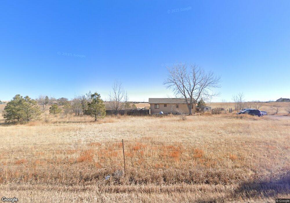
2415 Curtis Rd Peyton, CO 80831
Estimated Value: $383,000 - $517,000
3
Beds
1
Bath
1,232
Sq Ft
$354/Sq Ft
Est. Value
About This Home
This home is located at 2415 Curtis Rd, Peyton, CO 80831 and is currently estimated at $435,561, approximately $353 per square foot. 2415 Curtis Rd is a home located in El Paso County with nearby schools including Falcon Elementary School Of Technology, Falcon Middle School, and Falcon High School.
Ownership History
Date
Name
Owned For
Owner Type
Purchase Details
Closed on
Mar 16, 2005
Sold by
Blake William E and Blake Catherine M
Bought by
Blake William E
Current Estimated Value
Home Financials for this Owner
Home Financials are based on the most recent Mortgage that was taken out on this home.
Original Mortgage
$160,000
Outstanding Balance
$82,829
Interest Rate
5.93%
Mortgage Type
New Conventional
Estimated Equity
$352,732
Purchase Details
Closed on
Apr 24, 2003
Sold by
Blake William E and Blake Catherine M
Bought by
Blake William E and Blake Catherine M
Home Financials for this Owner
Home Financials are based on the most recent Mortgage that was taken out on this home.
Original Mortgage
$126,000
Interest Rate
5.84%
Mortgage Type
Unknown
Purchase Details
Closed on
Apr 1, 1998
Sold by
Odell Robert N
Bought by
Blake William E and Lynch Catherine M
Home Financials for this Owner
Home Financials are based on the most recent Mortgage that was taken out on this home.
Original Mortgage
$103,908
Interest Rate
7.09%
Mortgage Type
FHA
Purchase Details
Closed on
Apr 2, 1997
Sold by
Terry Roger J and Terry Trish D
Bought by
Odell Robert N
Home Financials for this Owner
Home Financials are based on the most recent Mortgage that was taken out on this home.
Original Mortgage
$29,500
Interest Rate
7.63%
Purchase Details
Closed on
Jan 27, 1995
Sold by
Stewart Stephen M and Stewart Marilyn K
Bought by
Terry Roger Joseph and Terry Trish Diane
Home Financials for this Owner
Home Financials are based on the most recent Mortgage that was taken out on this home.
Original Mortgage
$63,000
Interest Rate
9.25%
Mortgage Type
Seller Take Back
Purchase Details
Closed on
Nov 21, 1994
Sold by
Lions Paw Inc
Bought by
Stewart Stephen M and Stewart Marilyn K
Home Financials for this Owner
Home Financials are based on the most recent Mortgage that was taken out on this home.
Original Mortgage
$22,500
Interest Rate
9%
Mortgage Type
Seller Take Back
Purchase Details
Closed on
May 5, 1987
Bought by
Blake William E
Create a Home Valuation Report for This Property
The Home Valuation Report is an in-depth analysis detailing your home's value as well as a comparison with similar homes in the area
Purchase History
| Date | Buyer | Sale Price | Title Company |
|---|---|---|---|
| Blake William E | -- | Dba Commerce Title Company | |
| Blake William E | -- | -- | |
| Blake William E | $105,000 | -- | |
| Odell Robert N | $95,000 | Security Title | |
| Terry Roger Joseph | -- | -- | |
| Stewart Stephen M | -- | -- | |
| Blake William E | -- | -- |
Source: Public Records
Mortgage History
| Date | Status | Borrower | Loan Amount |
|---|---|---|---|
| Open | Blake William E | $160,000 | |
| Closed | Blake William E | $126,000 | |
| Closed | Blake William E | $103,908 | |
| Previous Owner | Odell Robert N | $29,500 | |
| Previous Owner | Terry Roger Joseph | $63,000 | |
| Previous Owner | Stewart Stephen M | $22,500 |
Source: Public Records
Tax History
| Year | Tax Paid | Tax Assessment Tax Assessment Total Assessment is a certain percentage of the fair market value that is determined by local assessors to be the total taxable value of land and additions on the property. | Land | Improvement |
|---|---|---|---|---|
| 2025 | $1,610 | $30,550 | -- | -- |
| 2024 | $1,504 | $26,550 | $8,110 | $18,440 |
| 2023 | $1,504 | $26,550 | $8,110 | $18,440 |
| 2022 | $1,088 | $15,670 | $6,100 | $9,570 |
| 2021 | $1,131 | $16,120 | $6,280 | $9,840 |
| 2020 | $931 | $13,210 | $5,640 | $7,570 |
| 2019 | $923 | $13,210 | $5,640 | $7,570 |
| 2018 | $820 | $11,540 | $5,130 | $6,410 |
| 2017 | $751 | $11,540 | $5,130 | $6,410 |
| 2016 | $773 | $11,720 | $5,290 | $6,430 |
| 2015 | $774 | $11,720 | $5,290 | $6,430 |
| 2014 | $730 | $10,850 | $5,140 | $5,710 |
Source: Public Records
Map
Nearby Homes
- 2955 Hoofprint Rd
- 0 Davis Rd
- 14655 Davis Rd
- 2070 Terri Lee Dr
- 9475 N Curtis Rd
- 2115 Terri Lee Dr
- 2265 Terri Lee Dr
- 3380 Curtis Rd
- 1355 Houseman Rd
- 15030 Highway 94
- 15080 Highway 94
- 14240 Highway 94
- 2550 Slocum Rd
- 4215 Los Ranchitos Dr
- 2105 Slocum Rd
- 3250 Slocum Rd
- 3111 Solberg Ct
- 2704 S Solberg Ct
- 2737 S Solberg Ct
- 2771 S Solberg Ct
- 14850 Davis Rd
- 2115 Curtis Rd
- 2970 Hoofprint Rd
- 2935 Hoofprint Rd
- 2995 Hoofprint Rd
- 2990 Hoofprint Rd
- 14990 Davis Rd
- 15075 Davis Rd
- 14660 Davis Rd
- 1955 Curtis Rd
- 15150 Davis Rd
- 14925 Russell Dr
- 14835 Russell Dr
- 14995 Russell Dr
- 14335 Davis Rd
- 15190 Davis Rd
- 14325 Davis Rd
- 14820 Russell Dr
- 15375 Davis Rd
- 14970 Russell Dr
Your Personal Tour Guide
Ask me questions while you tour the home.