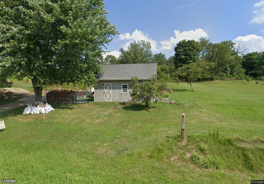
2415 State Route 60 Loudonville, OH 44842
Estimated Value: $152,552 - $203,000
3
Beds
--
Bath
798
Sq Ft
$227/Sq Ft
Est. Value
About This Home
This home is located at 2415 State Route 60, Loudonville, OH 44842 and is currently estimated at $181,388, approximately $227 per square foot. 2415 State Route 60 is a home located in Ashland County with nearby schools including McMullen Elementary School, Budd Elementary School, and Loudonville High School.
Ownership History
Date
Name
Owned For
Owner Type
Purchase Details
Closed on
Mar 31, 2015
Sold by
Garman John H and Garman Karen M
Bought by
Elkins David C and Neely Alisha N
Current Estimated Value
Home Financials for this Owner
Home Financials are based on the most recent Mortgage that was taken out on this home.
Original Mortgage
$74,489
Outstanding Balance
$57,322
Interest Rate
3.73%
Mortgage Type
New Conventional
Estimated Equity
$124,066
Purchase Details
Closed on
Sep 30, 2004
Sold by
Marks Betty J
Bought by
Garman John H
Purchase Details
Closed on
Jul 5, 1995
Bought by
Weakland Cecelia F
Create a Home Valuation Report for This Property
The Home Valuation Report is an in-depth analysis detailing your home's value as well as a comparison with similar homes in the area
Home Values in the Area
Average Home Value in this Area
Purchase History
| Date | Buyer | Sale Price | Title Company |
|---|---|---|---|
| Elkins David C | $73,000 | Barrister Title | |
| Garman John H | $72,100 | -- | |
| Weakland Cecelia F | -- | -- |
Source: Public Records
Mortgage History
| Date | Status | Borrower | Loan Amount |
|---|---|---|---|
| Open | Elkins David C | $74,489 |
Source: Public Records
Tax History Compared to Growth
Tax History
| Year | Tax Paid | Tax Assessment Tax Assessment Total Assessment is a certain percentage of the fair market value that is determined by local assessors to be the total taxable value of land and additions on the property. | Land | Improvement |
|---|---|---|---|---|
| 2024 | $1,382 | $35,760 | $7,420 | $28,340 |
| 2023 | $1,382 | $35,760 | $7,420 | $28,340 |
| 2022 | $1,099 | $24,660 | $5,120 | $19,540 |
| 2021 | $1,089 | $24,660 | $5,120 | $19,540 |
| 2020 | $1,025 | $24,660 | $5,120 | $19,540 |
| 2019 | $1,016 | $24,150 | $5,390 | $18,760 |
| 2018 | $1,022 | $24,150 | $5,390 | $18,760 |
| 2017 | $1,031 | $24,150 | $5,390 | $18,760 |
| 2016 | $873 | $21,000 | $4,690 | $16,310 |
| 2015 | $867 | $21,000 | $4,690 | $16,310 |
| 2013 | $1,005 | $24,000 | $4,700 | $19,300 |
Source: Public Records
Map
Nearby Homes
- 609 Ohio 95
- 560 Township Road 2402
- 0 Ashland County Road 2175
- 0 Ashland County Road 2175
- 0 Township Road 925
- 968 Township Road 2506
- 2818 Township Road 2812
- 1406 Pearl Dr
- 723 Pearl Dr
- 150 E Main St
- 500 Stone Meadow Cir
- 2057 State Route 89
- 524 N Union St
- 513 N Mount Vernon Ave
- 518 Snyder Dr
- 333 E Campbell St
- 316 E Campbell St
- 526 E Campbell St
- 820 County Road 30a
- 2415 Ohio 60
- 2427 Ohio 60
- 582 State Route 95
- 2427 State Route 60
- 2435 Ohio 60
- 2435 State Route 60
- 2401 State Route 60
- 2395 Ohio 60
- 569 State Route 95
- 2395 State Route 60
- 564 State Route 95
- 2443 State Route 60
- 2394 State Route 60
- 608 County Road 2404
- 581 State Route 95
- 620 State Route 95
- 556 State Route 95
- 2447 Ohio 60
- 2447 State Route 60
- 611 Ohio 95